15 Lyndhurst Road, Heswall, Wirral, CH61 0HB
About 15 Lyndhurst Road
15 Lyndhurst Road is a three-bedroom detached house in Heswall, Wirral, Wirral (CH61 0HB). It has a recorded floor area of 77 m² (around 829 sq ft), construction records dating it to 1930-1949 and council tax band D. The latest certificate (April 2011) shows a D (score 59), a step below the typical UK home. The latest certificate is from April 2011, so improvements made since then won't be reflected. Our model identifies extension potential, subject to local planning policy.
2 planning records sit against the property, 2 approved, 0 refused. Past consents include an extension and a porch, meaningful when judging how the property has evolved. Across 2011–2020, sale prices on this property compounded at 7.1% per year. Today's modelled estimate of £442,000 is 17.6% above the 2020 sale price. On a £-per-square-foot basis, the last sale (£453/sq ft) was about 108.1% above the typical sold price in the postcode. At 77 m² it's 22.6% smaller than the typical home in the postcode (100 m² median across 14 EPCs). Sold November 2020 for £376,000.
What this property has
Inside
- Bedrooms3
- Bathrooms2
- Dining roomYes
- Utility roomYes
Outside
- Private gardenSouth-west-facing
- ParkingOff street
Building
- Extension potentialPossible
Everything you need to know about 15 Lyndhurst Road
The true value, the hidden risks and the full sale history, in one report.
30-day money-back guarantee

The data behind every report


Energy performance
15 Lyndhurst Road's EPC is over a decade old — improvements since won't be reflected.
EPC Expired
This certificate is over 10 years old and is no longer valid.Expired 10 Apr 2021
EPC Rating
Planning history
- Oct 2021ExtensionFullIn report
Extension: Single storey · Side of property
Erection of a single storey side garage and installation of first-floor (landing) window
- Documents
- 8 docs on file
- Reference
- APP/21/01544
- Jan 2012PorchFullIn report
Alterations to roof to include front and rear dormers and erection of a side garage and porch
- Agent
- C W Jones
Extension- Documents
- 4 docs on file
- Reference
- APP/11/01415
What's in 15 Lyndhurst Road, Heswall, Wirral, CH61 0HB's planning history?
Refusals, disputes and full decisions on this property and nearby, in the report.
Sales history & valuation
The latest sale landed in the post-pandemic price surge — useful context when reading the figure.
£442,000
Modelled from EPC, postcode comparables and a sale-price growth of 7.1% per year over 9 years.
£376,000
Growth on file: 7.1% per year over 9 years.
Sales timeline
19 November 2020Most recent
£376,000
+88.0%over 9 years6 September 2011
£200,000
Median price across the last 5 sales in CH61 0HB: £375,000 (2024–2018).
Nearby sales in CH61 0HB
23 Lyndhurst Road, Heswall, Wirral, CH61 0HB
Sold May 2024
£400,00020 Lyndhurst Road, Heswall, Wirral, CH61 0HB
Sold Mar 2024
£280,00023a, Lyndhurst Road, Heswall, Wirral, CH61 0HB
Sold Jul 2023
£510,0002a, Lyndhurst Road, Heswall, Wirral, CH61 0HB
Sold Aug 2021
£375,00014 Lyndhurst Road, Heswall, Wirral, CH61 0HB
Sold May 2018
£265,000
Versus other Lyndhurst Road homes
15 Lyndhurst Road outperforms the street on price per m² by a wide margin.
Price per m²
£4,881
Street avg £2,572
Floor Area
77 m²
Street avg 105 m²
Habitable Rooms
5 rooms
Street avg 5 rooms
CO₂ Emissions
4.4 t/year
Street avg 5.9 t/year
Everything you need to know about 15 Lyndhurst Road
The true value, the hidden risks and the full sale history, in one report.
30-day money-back guarantee
The data behind every report
Similar properties nearby
10 Thurstaston Road, Irby
CH61 0HE
11 Lyndhurst Road, Heswall
CH61 0HB
12 Sandy Lane, Irby
CH61 0HD
14 Lyndhurst Road, Heswall
CH61 0HB
11 Thurstaston Road, Irby
CH61 0HA
1 Rangers House, Station Road, Thurstaston
CH61 0HN
12 Lyndhurst Road, Heswall
CH61 0HB
10 Dawpool Farm, Station Road, Thurstaston
CH61 0HR
The neighbourhood at a glance
Daytime road noise here sits well below conversation level — a quiet pocket of the postcode.
Crime
2/mo
Steady year-on-year across the wider district.
Nearest stop
0.1 km
Lyndhurst Road — bus stop.
Closest school
0.6 km
Thurstaston Dawpool CofE Primary School. 10 schools nearby.
Go deeper on the local area
The full report breaks down crime, transport links, schools and air quality in depth.
Road noise across the postcode
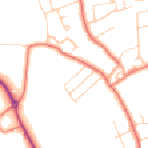
Daytime· 07:00 – 23:00
48.9dB

Night-time· 23:00 – 07:00
39.1dB