9 Perrin Road, Wallasey, CH45 3LX
About 9 Perrin Road
9 Perrin Road is a four-bedroom semi-detached house in Wallasey (CH45 3LX). It has a recorded floor area of 114 m² (around 1227 sq ft), construction records dating it to 1900-1929 and council tax band B. Tenure is freehold. The latest certificate (December 2019) shows a D (score 63), on the cusp of jumping into the C band. The recommended improvements would lift it to B (score 86), a 2-band jump.
Across 2001–2020, sale prices on this property compounded at 13.8% per year. Today's modelled estimate of £237,000 is 39.4% above the 2020 sale price. On a £-per-square-foot basis, the last sale (£139/sq ft) was about 62.5% above the typical sold price in the postcode. Most recent transfer: July 2020 at £170,000.
What this property has
Inside
- Bedrooms4
- Bathrooms1
- Dining roomYes
- CloakroomYes
Building
- TenureFreehold
- Heating systemGas
Everything you need to know about 9 Perrin Road
The true value, the hidden risks and the full sale history, in one report.
30-day money-back guarantee

The data behind every report


Energy performance
Recommended upgrades on file would lift this property by multiple EPC bands.
EPC Rating
Get a survey for this property
Level 3 Building Survey
Because the property was built before 1919 and has solid (non-cavity) walls, we believe a Level 3 building survey should be considered.
From £885 · Includes VAT
Planning history
9 Perrin Road has no planning applications on record.
The full report still covers planning activity across the surrounding area.
Sales history & valuation
Price for 9 Perrin Road has grown more than fourfold since the 2001 starting point.
£237,000
Modelled from EPC, postcode comparables and a sale-price growth of 13.8% per year over 19 years.
£170,000
Growth on file: 13.8% per year over 19 years.
Sales timeline
29 July 2020Most recent
£170,000
+77.1%over 16 years18 September 2003
£96,000
+585.7%over 2 years27 March 2001
£14,000
Median price across the last 5 sales in CH45 3LX: £130,000 (2025–2009).
Versus other Perrin Road homes
9 Perrin Road outperforms the street on habitable rooms by a wide margin.
Price per m²
£1,491
Street avg £1,127
Floor Area
114 m²
Street avg 120 m²
Habitable Rooms
7 rooms
Street avg 6 rooms
CO₂ Emissions
4.8 t/year
Street avg 5.3 t/year
Everything you need to know about 9 Perrin Road
The true value, the hidden risks and the full sale history, in one report.
30-day money-back guarantee
The data behind every report
Similar properties nearby
The neighbourhood at a glance
Rail-style transport is unusually close for this postcode.
Crime
5/mo
Steady year-on-year across the wider district.
Nearest stop
0.1 km
Perrin Road — bus stop.
Closest school
0.1 km
St George's Primary School. 25 schools nearby.
Go deeper on the local area
The full report breaks down crime, transport links, schools and air quality in depth.
Road noise across the postcode
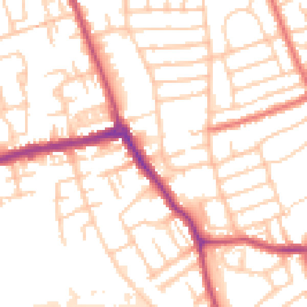
Daytime· 07:00 – 23:00
53.0dB

Night-time· 23:00 – 07:00
42.7dB