33 Gloucester Road, Wallasey, CH45 3JS
About 33 Gloucester Road
33 Gloucester Road is a three-bedroom semi-detached house in Wallasey (CH45 3JS). It has a recorded floor area of 100 m² (around 1074 sq ft), construction records dating it to 1900-1929 and council tax band C. The latest certificate (May 2010) shows a G (score 1), near the bottom of the EPC scale. The latest certificate is from May 2010, so improvements made since then won't be reflected.
Held since March 2011 — that's 15 years off the open market, well above the local norm. On energy efficiency it sits in the bottom 10% of properties in this postcode — significant headroom for improvement. Today's modelled estimate of £264,000 is 49.6% above the 2011 sale price.
What this property has
Inside
- Bedrooms3
- Open-plan layoutYes
- Dining roomYes
- CloakroomYes
Building
- Heating systemGas
Everything you need to know about 33 Gloucester Road
The true value, the hidden risks and the full sale history, in one report.
30-day money-back guarantee

The data behind every report


Energy performance
33 Gloucester Road sits at the bottom of the postcode for energy efficiency — meaningful headroom to improve.
EPC Expired
This certificate is over 10 years old and is no longer valid.Expired 19 May 2020
EPC Rating
Get a survey for this property
Level 3 Building Survey
Because the property was built before 1919 and has solid (non-cavity) walls, we believe a Level 3 building survey should be considered.
From £885 · Includes VAT
Planning history
33 Gloucester Road has no planning applications on record.
The full report still covers planning activity across the surrounding area.
Sales history & valuation
33 Gloucester Road valuation sits well clear of the typical sold price in this postcode.
£264,000
Modelled from EPC, postcode comparables.
£176,500
Recorded with HM Land Registry.
Sales timeline
29 March 2011Most recent
£176,500
Median price across the last 5 sales in CH45 3JS: £242,500 (2021–2006).
Nearby sales in CH45 3JS
Versus other Gloucester Road homes
EPC Rating for 33 Gloucester Road lags the street by a wide margin.
Price per m²
£1,768
Street avg £1,977
Floor Area
100 m²
Street avg 126 m²
Habitable Rooms
5 rooms
Street avg 6 rooms
CO₂ Emissions
11.0 t/year
Street avg 7.0 t/year
Everything you need to know about 33 Gloucester Road
The true value, the hidden risks and the full sale history, in one report.
30-day money-back guarantee
The data behind every report
Similar properties nearby
The neighbourhood at a glance
Rail-style transport is unusually close for this postcode.
Crime
5/mo
Steady year-on-year across the wider district.
Nearest stop
0.1 km
Coniston Avenue — bus stop.
Closest school
0.5 km
St Mary's Catholic College, A Voluntary Academy. 20 schools nearby.
Go deeper on the local area
The full report breaks down crime, transport links, schools and air quality in depth.
Road noise across the postcode
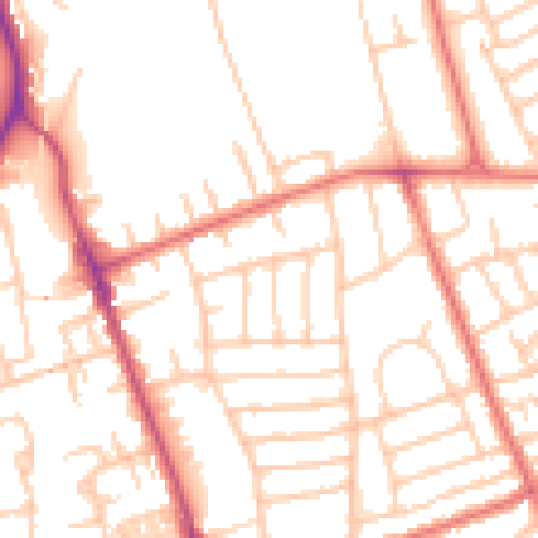
Daytime· 07:00 – 23:00
51.9dB

Night-time· 23:00 – 07:00
40.9dB