41 Gloucester Road, Wallasey, CH45 3JS
About 41 Gloucester Road
41 Gloucester Road is a three-bedroom semi-detached house in Wallasey (CH45 3JS). It has a recorded floor area of 113 m² (around 1216 sq ft), construction records dating it to 1930-1949 and council tax band C. The latest certificate (May 2020) shows a D (score 61), on the cusp of jumping into the C band. The recommended improvements would lift it to B (score 83), a 2-band jump.
Today's modelled estimate of £341,000 is 40.6% above the 2020 sale price. On a £-per-square-foot basis, the last sale (£199/sq ft) was about 21.4% above the typical sold price in the postcode. Sold October 2020 for £242,500.
What this property has
Inside
- Bedrooms3
- Bathrooms2
- Dining roomYes
- CloakroomYes
- StudyYes
Outside
- Private gardenSouth-facing
- DrivewayYes
Building
- RefurbishedYes
Everything you need to know about 41 Gloucester Road
The true value, the hidden risks and the full sale history, in one report.
30-day money-back guarantee

The data behind every report


Energy performance
Recommended upgrades on file would lift this property by multiple EPC bands.
EPC Rating
Get a survey for this property
Level 3 Building Survey
Because the property has solid (non-cavity) walls, we believe a Level 3 building survey should be considered.
From £955 · Includes VAT
Planning history
41 Gloucester Road has no planning applications on record.
The full report still covers planning activity across the surrounding area.
Sales history & valuation
The latest sale landed in the post-pandemic price surge — useful context when reading the figure.
£341,000
Modelled from EPC, postcode comparables.
£242,500
Recorded with HM Land Registry.
Sales timeline
22 October 2020Most recent
£242,500
Median price across the last 5 sales in CH45 3JS: £227,000 (2021–2006).
Nearby sales in CH45 3JS
Versus other Gloucester Road homes
EPC Rating for 41 Gloucester Road runs comfortably ahead of the street norm.
Price per m²
£2,146
Street avg £1,883
Floor Area
113 m²
Street avg 124 m²
Habitable Rooms
6 rooms
Street avg 6 rooms
CO₂ Emissions
5.1 t/year
Street avg 8.2 t/year
Everything you need to know about 41 Gloucester Road
The true value, the hidden risks and the full sale history, in one report.
30-day money-back guarantee
The data behind every report
Similar properties nearby
The neighbourhood at a glance
Rail-style transport is unusually close for this postcode.
Crime
5/mo
Steady year-on-year across the wider district.
Nearest stop
0.1 km
Coniston Avenue — bus stop.
Closest school
0.5 km
St Mary's Catholic College, A Voluntary Academy. 20 schools nearby.
Go deeper on the local area
The full report breaks down crime, transport links, schools and air quality in depth.
Road noise across the postcode
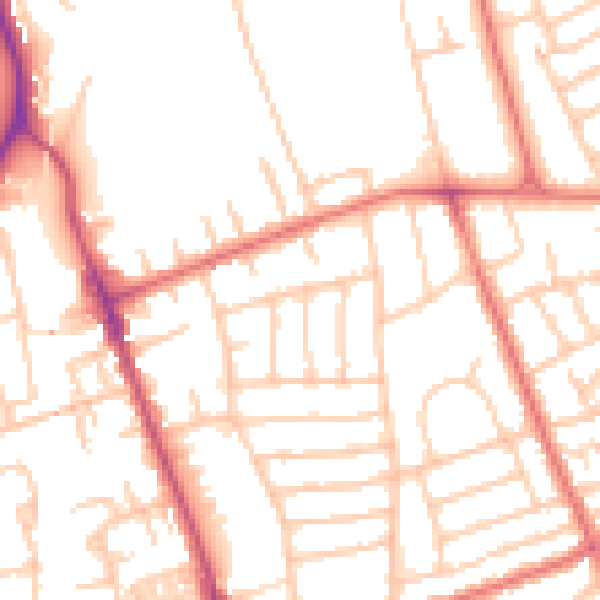
Daytime· 07:00 – 23:00
51.9dB

Night-time· 23:00 – 07:00
40.9dB