11 Bellard Drive, Hoole, Chester, CH2 3JP
About 11 Bellard Drive
11 Bellard Drive is an end-of-terrace house in Hoole, Chester, Chester (CH2 3JP). It has a recorded floor area of 93 m² (around 1001 sq ft), construction records dating it to 1976-1982 and council tax band C. The latest certificate (April 2019) shows a C (score 70). The recommended improvements would push it to B (score 85).
Everything you need to know about 11 Bellard Drive
The true value, the hidden risks and the full sale history, in one report.
Pick your report · every report is £14.99
One time fee only - money back guarantee

The data behind every report


Energy performance
EPC Rating
Get a survey for this property
Level 3 Building Survey
Because the property has been extended more than once, we believe a Level 3 building survey should be considered.
From £885 · Includes VAT
Planning history
11 Bellard Drive has no planning applications on record.
But the area is active
3 notable applications nearby — larger schemes and conversions that could reshape the street. The report maps them all.
Sales history & valuation
11 Bellard Drive has no Land Registry sales on file, suggesting it has stayed in the same hands since registration began.
£273,000
Modelled from EPC, postcode comparables.
No sales recorded with HM Land Registry
That can mean the property has never traded since the registry began publishing in 1995, was a new build that hasn't been registered yet, or is held in the same hands long-term.
Median price across the last 5 sales in CH2 3JP: £260,000 (2025–2021).
Nearby sales in CH2 3JP
10 Bellard Drive, Hoole, Chester, CH2 3JP
Sold Oct 2025
£291,15018 Bellard Drive, Hoole, Chester, CH2 3JP
Sold Feb 2025
£260,0006 Bellard Drive, Hoole, Chester, CH2 3JP
Sold Aug 2024
£292,50015 Bellard Drive, Hoole, Chester, CH2 3JP
Sold Oct 2021
£222,50017 Bellard Drive, Hoole, Chester, CH2 3JP
Sold Feb 2021
£218,000
Versus other Bellard Drive homes
On epc rating, 11 Bellard Drive stands well clear of the street.
EPC Rating
70 (C)
Street avg 63 (D)
Floor Area
93 m²
Street avg 96 m²
CO₂ Emissions
3.3 t/year
Street avg 4.4 t/year
Habitable Rooms
5 rooms
Street avg 5 rooms
Everything you need to know about 11 Bellard Drive
The true value, the hidden risks and the full sale history, in one report.
Pick your report · every report is £14.99
One time fee only - money back guarantee
The data behind every report
Similar properties nearby
The neighbourhood at a glance
Crime
2/mo
Steady year-on-year across the wider district.
Nearest stop
0.1 km
Linden Grove — bus stop.
Closest school
0.6 km
St Martin's Academy Chester. 20 schools nearby.
Go deeper on the local area
A Local Area report breaks down crime, transport links, schools and air quality in depth.
Road noise across the postcode
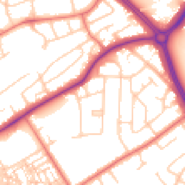
Daytime· 07:00 – 23:00
53.8dB

Night-time· 23:00 – 07:00
44.0dB