29 Acrefield Drive, Cambridge, CB4 1JW
About 29 Acrefield Drive
29 Acrefield Drive is a three-bedroom mid-terrace house in Cambridge (CB4 1JW). It has a recorded floor area of 75 m² (around 807 sq ft), construction records dating it to 1967-1975 and council tax band C. Other recorded features include a conservatory and outbuildings. The latest certificate (September 2025) shows a C (score 73).
Untraded for 29 years, with the last transfer in August 1997. Only one transfer is on record with HM Land Registry, suggesting it has stayed in the same hands for a long time. Today's modelled estimate of £457,000 sits 736% above the 1997 sale of £54,666. On a £-per-square-foot basis, the last sale (£68/sq ft) was about 81.5% below the postcode norm.
Know exactly what you're buying at 29 Acrefield Drive
Before you offer, see what the listing won't tell you, the true value, the red flags and the full history.
Already flagged here
Valuation
against the asking price
Risks
planning & flood
Sold prices
similar homes nearby
Trends
the local market
What this property has
Inside
- Bedrooms3
- Bathrooms1
- EnsuiteYes
- StudyYes
- ConservatoryYes
Outside
- GarageYes
- OutbuildingsYes
Energy performance
EPC Rating
Planning history
29 Acrefield Drive has no planning applications on record.
Notable planning nearby
32applications of note in the surrounding area
We flagged 3 things worth checking at 29 Acrefield Drive
Independent checks surfaced things a buyer would want to understand before offering. The report explains each one in full, with the underlying data and what to ask.
- Signs of HMO activity in the area
- Larger development activity nearby
- Environmental risk flagged
30-day money-back guarantee
Sales history & valuation
29 Acrefield Drive's modelled value sits at over four times its earliest registered sale price (1997).
£457,000
Modelled from EPC, postcode comparables.
£54,666
Recorded with HM Land Registry.
Sales timeline
26 August 1997Most recent
£54,666
Median price across the last 5 sales in CB4 1JW: £440,000 (2025–2023).
Nearby sales in CB4 1JW
Everything we know about 29 Acrefield Drive, in one report
What it's really worth, what could be wrong, and the planning, sales and area data in full.
What we flagged
- Signs of HMO activity in the area
- Larger development activity nearby
- Environmental risk flagged

Versus other Acrefield Drive homes
29 Acrefield Drive is notably below the street on price per m².
Price per m²
£729
Street avg £4,347
Floor Area
75 m²
Street avg 79 m²
Habitable Rooms
4 rooms
Street avg 4 rooms
CO₂ Emissions
2.2 t/year
Street avg 3.6 t/year
Similar properties nearby
1 Anglers Way
CB4 1TZ
1 Belvoir Road
CB4 1JQ
1 Chesterfield Road
CB4 1LN
1 Chantry Close
CB4 1AR
1 Boathouse Court, Trafalgar Road
CB4 1DU
1 Berrylands, Milton Road
CB4 1XW
1 Codon Court, Union Lane
CB4 1QA
1 Alice Bell Close
CB4 1GN
The neighbourhood at a glance
Crime
7/mo
Steady year-on-year across the wider district.
Nearest stop
1.9 km
Cambridge Rail Station — railway station.
Closest school
0.8 km
St Matthew's Primary School. 29 schools nearby.
Go deeper on the local area
The full report breaks down crime, transport links, schools and air quality in depth.
Road noise across the postcode
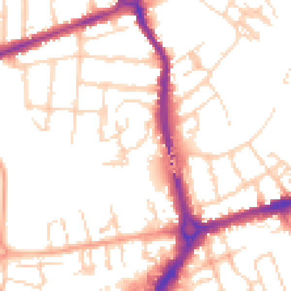
Daytime· 07:00 – 23:00
52.0dB

Night-time· 23:00 – 07:00
41.8dB