2 Conrad Court, Shakespeare Avenue, Bristol, BS7 0PN
About 2 Conrad Court
2 Conrad Court is a mid-terrace house in Bristol (BS7 0PN). It has a recorded floor area of 116 m² (around 1245 sq ft), construction records dating it to 2003-2006 and council tax band C. The latest certificate (March 2009) shows a C (score 76), near the top of the C band. The latest certificate is from March 2009, so improvements made since then won't be reflected.
It hasn't traded since March 2006, a hold of 20 years that's notably long for the area. Today's modelled estimate of £316,000 sits 232.6% above the 2006 sale of £95,000. On a £-per-square-foot basis, the last sale (£76/sq ft) was about 64% below the postcode norm.
Everything you need to know about 2 Conrad Court
The true value, the hidden risks and the full sale history, in one report.
Pick your report · every report is £14.99
One time fee only - money back guarantee

The data behind every report


Energy performance
2 Conrad Court's EPC is over a decade old — improvements since won't be reflected.
EPC Expired
This certificate is over 10 years old and is no longer valid.Expired 07 Mar 2019
EPC Rating
Get a survey for this property
Level 2 HomeBuyer Report
We've checked 10 risk factors against the available data for this property and believe a Level 2 HomeBuyer Report could be a suitable option for you.
From £595 · Includes VAT
Planning history
2 Conrad Court has no planning applications on record.
But the area is active
162 notable applications nearby — larger schemes and conversions that could reshape the street. The report maps them all.
Sales history & valuation
2 Conrad Court's estimated value is more than triple its earliest registered sale price (2006).
£316,000
Modelled from EPC, postcode comparables.
£95,000
Recorded with HM Land Registry.
Sales timeline
24 March 2006Most recent
£95,000
Median price across the last 5 sales in BS7 0PN: £171,950 (2014–2006).
Everything you need to know about 2 Conrad Court
The true value, the hidden risks and the full sale history, in one report.
Pick your report · every report is £14.99
One time fee only - money back guarantee
The data behind every report
Similar properties nearby
The neighbourhood at a glance
Reported crime in the wider district is trending notably upward year-on-year.
Crime
6/mo
Rising year-on-year across the wider district.
Nearest stop
0.1 km
Keats Court — bus stop.
Closest school
0.1 km
Upper Horfield Primary School. 30 schools nearby.
Go deeper on the local area
A Local Area report breaks down crime, transport links, schools and air quality in depth.
Road noise across the postcode
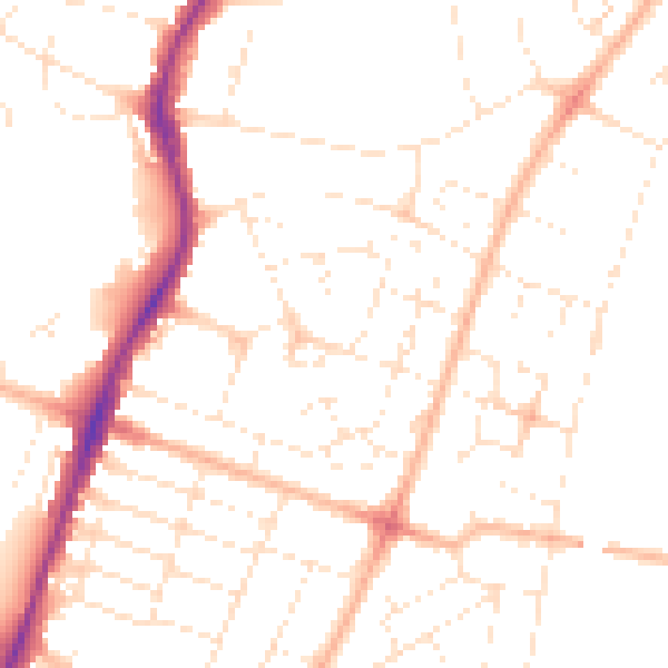
Daytime· 07:00 – 23:00
49.2dB

Night-time· 23:00 – 07:00
39.0dB