581 Gloucester Road, Horfield, Bristol, BS7 0BW
About 581 Gloucester Road
581 Gloucester Road is a four-bedroom mid-terrace house in Horfield, Bristol, Bristol (BS7 0BW). It has a recorded floor area of 163 m² (around 1755 sq ft), construction records dating it to 1900-1929 and council tax band D. Tenure is freehold. The latest certificate (August 2023) shows an E (score 49), well below the UK norm with real room to improve. The recommended improvements would lift it to C (score 76), a 2-band jump. Period features are noted in the property record.
It lags the bulk of the postcode on energy efficiency (less efficient than 82% of similar EPCs). On a £-per-square-foot basis, the last sale (£339/sq ft) was about 100.8% above the typical sold price in the postcode. Sold April 2024 for £595,000.
What this property has
Inside
- Bedrooms4
- Bathrooms2
- EnsuiteYes
Outside
- Private gardenRear
Building
- TenureFreehold
- Period featuresYes
Everything you need to know about 581 Gloucester Road
The true value, the hidden risks and the full sale history, in one report.
Pick your report · every report is £14.99
One time fee only - money back guarantee

The data behind every report


Energy performance
581 Gloucester Road's carbon output runs well above what efficient homes in the postcode produce.
EPC Rating
Get a survey for this property
Level 3 Building Survey
Because the property was built before 1919 and has been extended more than once, we believe a Level 3 building survey should be considered.
From £1,155 · Includes VAT
Planning history
581 Gloucester Road has no planning applications on record.
But the area is active
162 notable applications nearby — larger schemes and conversions that could reshape the street. The report maps them all.
Sales history & valuation
581 Gloucester Road valuation sits well clear of the typical sold price in this postcode.
£644,000
Modelled from EPC, postcode comparables.
£595,000
Recorded with HM Land Registry.
Sales timeline
8 April 2024Most recent
£595,000
Median price across the last 5 sales in BS7 0BW: £502,500 (2024–2020).
Nearby sales in BS7 0BW
601 Gloucester Road, Horfield, Bristol, BS7 0BW
Sold Nov 2024
£695,000587 Gloucester Road, Horfield, Bristol, BS7 0BW
Sold Jun 2022
£570,000597 Gloucester Road, Horfield, Bristol, BS7 0BW
Sold Dec 2020
£502,500First Floor Flat, 569 Gloucester Road, Horfield, Bristol, BS7 0BW
Sold Oct 2020
£285,000569 Gloucester Road, Horfield, Bristol, BS7 0BW
Sold Oct 2020
£285,000
Versus other Gloucester Road homes
On co₂ emissions, 581 Gloucester Road runs well behind the street norm.
Price per m²
£3,650
Street avg £2,130
Floor Area
163 m²
Street avg 172 m²
Habitable Rooms
6 rooms
Street avg 8 rooms
CO₂ Emissions
9.0 t/year
Street avg 6.7 t/year
Everything you need to know about 581 Gloucester Road
The true value, the hidden risks and the full sale history, in one report.
Pick your report · every report is £14.99
One time fee only - money back guarantee
The data behind every report
Similar properties nearby
1 Dorchester Road
BS7 0LA
1 Bayswater Road
BS7 0BN
1 Beechcroft Walk
BS7 0NH
1 Cropthorne Road South
BS7 0PS
1 Blakeney Road
BS7 0DL
1 Conrad Court, Shakespeare Avenue
BS7 0PN
1 Buxton Walk
BS7 0LG
1 Bythesea Avenue
BS7 0FN
The neighbourhood at a glance
Reported crime in the wider district is trending notably upward year-on-year.
Crime
6/mo
Rising year-on-year across the wider district.
Nearest stop
0.2 km
Muller Road Top — bus stop.
Closest school
0.7 km
Filton Avenue Primary School. 37 schools nearby.
Go deeper on the local area
A Local Area report breaks down crime, transport links, schools and air quality in depth.
Road noise across the postcode
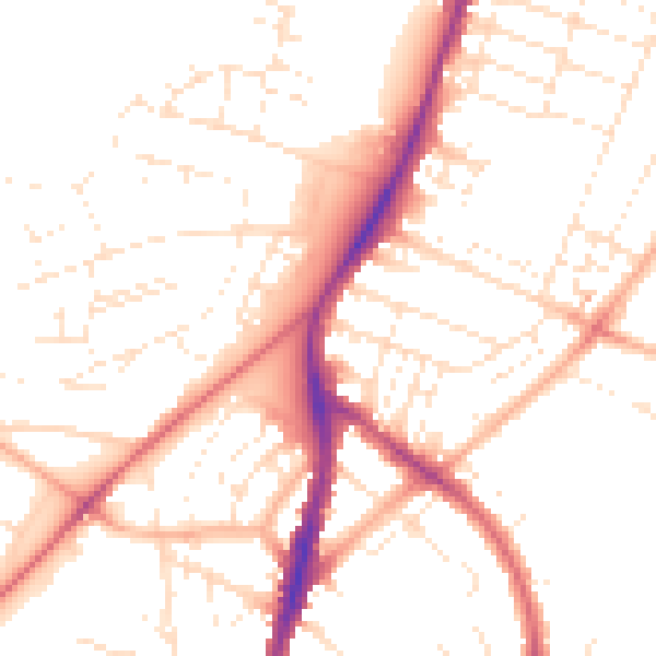
Daytime· 07:00 – 23:00
50.8dB

Night-time· 23:00 – 07:00
40.9dB