184 Filton Avenue, Horfield, Bristol, BS7 0AX
About 184 Filton Avenue
184 Filton Avenue is a three-bedroom mid-terrace house in Horfield, Bristol, Bristol (BS7 0AX). It has a recorded floor area of 79 m² (around 850 sq ft), construction records dating it to 1930-1949 and council tax band C. The latest certificate (July 2018) shows a D (score 68), on the cusp of jumping into the C band. The recommended improvements would lift it to B (score 87), a 2-band jump.
It hasn't traded since June 1995, a hold of 31 years that's notably long for the area. Only one transfer is on record with HM Land Registry, suggesting it has stayed in the same hands for a long time. Today's modelled estimate of £349,000 sits 741% above the 1995 sale of £41,500. On a £-per-square-foot basis, the last sale (£49/sq ft) was about 69% below the postcode norm. At 79 m² it's 15.1% smaller than the typical home in the postcode (93 m² median across 16 EPCs).
What this property has
Inside
- Bedrooms3
Everything you need to know about 184 Filton Avenue
The true value, the hidden risks and the full sale history, in one report.
Pick your report · every report is £14.99
One time fee only - money back guarantee

The data behind every report


Energy performance
Recommended upgrades on file would lift this property by multiple EPC bands.
EPC Rating
Get a survey for this property
Level 3 Building Survey
Because the property has solid (non-cavity) walls, we believe a Level 3 building survey should be considered.
From £955 · Includes VAT
Planning history
184 Filton Avenue has no planning applications on record.
But the area is active
162 notable applications nearby — larger schemes and conversions that could reshape the street. The report maps them all.
Sales history & valuation
Latest sale on 184 Filton Avenue was the lowest on Land Registry record across the postcode.
£349,000
Modelled from EPC, postcode comparables.
£41,500
Recorded with HM Land Registry.
Sales timeline
29 June 1995Most recent
£41,500
Median price across the last 5 sales in BS7 0AX: £365,000 (2025–2021).
Nearby sales in BS7 0AX
198 Filton Avenue, Horfield, Bristol, BS7 0AX
Sold Oct 2025
£365,000204 Filton Avenue, Horfield, Bristol, BS7 0AX
Sold Jun 2025
£450,000176 Filton Avenue, Horfield, Bristol, BS7 0AX
Sold Apr 2025
£520,000172 Filton Avenue, Horfield, Bristol, BS7 0AX
Sold Feb 2023
£326,000168 Filton Avenue, Horfield, Bristol, BS7 0AX
Sold Mar 2021
£330,000
Versus other Filton Avenue homes
184 Filton Avenue outperforms the street on years held by a wide margin.
Price per m²
£525
Street avg £2,641
Floor Area
79 m²
Street avg 97 m²
Habitable Rooms
5 rooms
Street avg 5 rooms
CO₂ Emissions
2.9 t/year
Street avg 3.7 t/year
Everything you need to know about 184 Filton Avenue
The true value, the hidden risks and the full sale history, in one report.
Pick your report · every report is £14.99
One time fee only - money back guarantee
The data behind every report
Similar properties nearby
1 Blakeney Road
BS7 0DL
1 Cropthorne Road South
BS7 0PS
1 Beechcroft Walk
BS7 0NH
1 Conrad Court, Shakespeare Avenue
BS7 0PN
1 Buxton Walk
BS7 0LG
1 Bayswater Road
BS7 0BN
1 Bythesea Avenue
BS7 0FN
1 Dorchester Road
BS7 0LA
The neighbourhood at a glance
Reported crime in the wider district is trending notably upward year-on-year.
Crime
6/mo
Rising year-on-year across the wider district.
Nearest stop
0.0 km
Lockleaze Road — bus stop.
Closest school
0.2 km
Filton Avenue Primary School. 37 schools nearby.
Go deeper on the local area
A Local Area report breaks down crime, transport links, schools and air quality in depth.
Road noise across the postcode
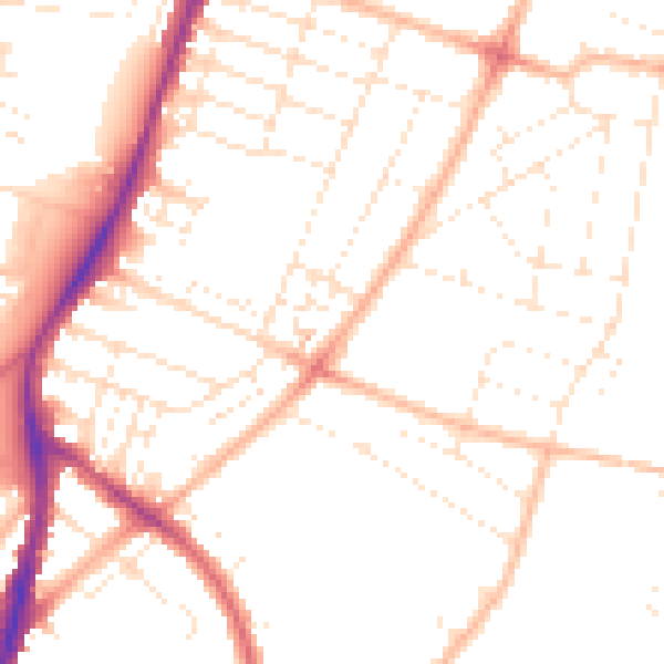
Daytime· 07:00 – 23:00
50.0dB

Night-time· 23:00 – 07:00
39.8dB