37 Filton Avenue, Horfield, Bristol, BS7 0AQ
About 37 Filton Avenue
37 Filton Avenue is a five-bedroom mid-terrace house in Horfield, Bristol, Bristol (BS7 0AQ). It has a recorded floor area of 138 m² (around 1485 sq ft), construction records dating it to 1900-1929 and council tax band D. The latest certificate (December 2014) shows an E (score 44), well below the UK norm with real room to improve. Earlier certificates rated it D (August 2012); the latest reading is one band lower. Between certificates, hot-water efficiency went from Average to Good and lighting went from Average to Good; while window efficiency dropped from Poor to Very Poor. The recommended improvements would lift it to C (score 71), a 2-band jump. The latest certificate is from December 2014, so improvements made since then won't be reflected.
Across 1997–2013, sale prices on this property compounded at 10% per year. Today's modelled estimate of £520,000 sits 59% above the 2013 sale of £327,000. On a £-per-square-foot basis, the last sale (£220/sq ft) was about 20.1% above the typical sold price in the postcode. It lags the bulk of the postcode on energy efficiency (less efficient than 80% of similar EPCs). 5 bedrooms is on the larger side for this postcode, where 3 is the typical count. Last sold in August 2013, so it's been off the market for around 13 years.
What this property has
Inside
- Bedrooms5
Everything you need to know about 37 Filton Avenue
The true value, the hidden risks and the full sale history, in one report.
Pick your report · every report is £14.99
One time fee only - money back guarantee

The data behind every report


Energy performance
37 Filton Avenue's carbon output runs well above what efficient homes in the postcode produce.
EPC Expired
This certificate is over 10 years old and is no longer valid.Expired 29 Dec 2024
EPC Rating
Property Improvements
Changes detected from historical EPC data
Hot water efficiency improved
More low energy lighting installed
Get a survey for this property
Level 3 Building Survey
Because the property was built before 1919, we believe a Level 3 building survey should be considered.
From £1,085 · Includes VAT
Planning history
37 Filton Avenue has no planning applications on record.
But the area is active
162 notable applications nearby — larger schemes and conversions that could reshape the street. The report maps them all.
Sales history & valuation
37 Filton Avenue has more than quadrupled in price since its earliest registered sale in 1997.
£520,000
Modelled from EPC, postcode comparables and a sale-price growth of 10.0% per year over 16 years.
£327,000
Growth on file: 10.0% per year over 16 years.
Sales timeline
29 August 2013Most recent
£327,000
+66.8%over 11 years9 January 2002
£196,000
+170.3%over 4 years21 October 1997
£72,500
Median price across the last 5 sales in BS7 0AQ: £425,000 (2025–2022).
Nearby sales in BS7 0AQ
61 Filton Avenue, Horfield, Bristol, BS7 0AQ
Sold Jun 2025
£605,00039 Filton Avenue, Horfield, Bristol, BS7 0AQ
Sold Feb 2025
£570,00029 Filton Avenue, Horfield, Bristol, BS7 0AQ
Sold May 2024
£425,0009 Filton Avenue, Horfield, Bristol, BS7 0AQ
Sold Jul 2023
£425,0001c, Filton Avenue, Horfield, Bristol, BS7 0AQ
Sold Jun 2022
£337,500
Versus other Filton Avenue homes
37 Filton Avenue is notably below the street on epc rating.
Price per m²
£2,370
Street avg £2,644
Floor Area
138 m²
Street avg 153 m²
Habitable Rooms
7 rooms
Street avg 7 rooms
CO₂ Emissions
7.0 t/year
Street avg 6.3 t/year
Everything you need to know about 37 Filton Avenue
The true value, the hidden risks and the full sale history, in one report.
Pick your report · every report is £14.99
One time fee only - money back guarantee
The data behind every report
Similar properties nearby
1 Dorchester Road
BS7 0LA
1 Bayswater Road
BS7 0BN
1 Beechcroft Walk
BS7 0NH
1 Cropthorne Road South
BS7 0PS
1 Blakeney Road
BS7 0DL
1 Conrad Court, Shakespeare Avenue
BS7 0PN
1 Buxton Walk
BS7 0LG
1 Biddestone Road
BS7 0UR
The neighbourhood at a glance
Reported crime in the wider district is trending notably upward year-on-year.
Crime
6/mo
Rising year-on-year across the wider district.
Nearest stop
0.1 km
Memorial Stadium — bus stop.
Closest school
0.4 km
Ashley Down Primary School. 39 schools nearby.
Go deeper on the local area
A Local Area report breaks down crime, transport links, schools and air quality in depth.
Road noise across the postcode
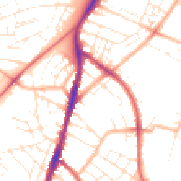
Daytime· 07:00 – 23:00
51.0dB

Night-time· 23:00 – 07:00
40.7dB