Flat 6, 37 Burghley Road, Bristol, BS6 5BL
About Flat 6
Flat 6 is an end-of-terrace house in Bristol (BS6 5BL). It has a recorded floor area of 17 m² (around 183 sq ft), construction records dating it to 1900-1929 and council tax band A. At 17 m² this is the smallest unit on EPC record across the building (17–54 m²). The latest certificate (November 2023) shows a C (score 72).
At 17 m² it sits well below the postcode median (92 m² across 22 EPCs), making it one of the more compact homes locally.
Everything you need to know about Flat 6
The true value, the hidden risks and the full sale history, in one report.
30-day money-back guarantee

The data behind every report


Energy performance
Flat 6's carbon output is low for the local stock.
EPC Rating
Planning history
Flat 6 has no planning applications on record.
Notable planning nearby
26applications of note in the surrounding area
We flagged 1 thing worth checking at Flat 6
Independent checks surfaced things a buyer would want to understand before offering. The report explains each one in full, with the underlying data and what to ask.
- Signs of HMO activity in the area
30-day money-back guarantee
Sales history & valuation
Flat 6 has no Land Registry sales on file, suggesting it has stayed in the same hands since registration began.
£189,000
Modelled from EPC, postcode comparables.
No sales recorded with HM Land Registry
That can mean the property has never traded since the registry began publishing in 1995, was a new build that hasn't been registered yet, or is held in the same hands long-term.
Median price across the last 5 sales in BS6 5BL: £950,000 (2025–2021).
Nearby sales in BS6 5BL
Versus other Burghley Road homes
Floor Area for Flat 6 lags the street by a wide margin.
EPC Rating
72 (C)
Street avg 67 (D)
Floor Area
17 m²
Street avg 46 m²
CO₂ Emissions
1.0 t/year
Street avg 2.5 t/year
Habitable Rooms
2 rooms
Street avg 2 rooms
Everything you need to know about Flat 6
The true value, the hidden risks and the full sale history, in one report.
30-day money-back guarantee
The data behind every report
Similar properties nearby
161 163, Flat 5, Ashley Road
BS6 5NX
1 Priors Hill Flats, Fremantle Road
BS6 5SZ
161 163, Flat 4, Ashley Road
BS6 5NX
161 163, Flat 2, Ashley Road
BS6 5NX
161 163, Flat 3, Ashley Road
BS6 5NX
161 163, Flat 1, Ashley Road
BS6 5NX
12a, Garden Flat, Leopold Road
BS6 5BS
13a, Flat 2, Maurice Road
BS6 5BZ
The neighbourhood at a glance
Rail-style transport is unusually close for this postcode.
Crime
8/mo
Rising year-on-year across the wider district.
Nearest stop
0.2 km
Balmoral Road — bus stop.
Closest school
0.4 km
E-Act Montpelier High School. 46 schools nearby.
Go deeper on the local area
The full report breaks down crime, transport links, schools and air quality in depth.
Road noise across the postcode
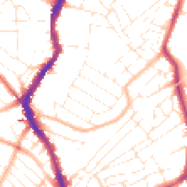
Daytime· 07:00 – 23:00
51.5dB

Night-time· 23:00 – 07:00
40.5dB