Steppe, Flat 2, 1 Chalks Road, Bristol, BS5 9EN
About Steppe
Steppe is a semi-detached house in Bristol (BS5 9EN). It has a recorded floor area of 42 m² (around 452 sq ft) and construction records dating it to 2012 onwards. The latest certificate (July 2024) shows a C (score 77), near the top of the C band. The recommended improvements would push it to B (score 81). Main heating runs on electricity.
Everything you need to know about Steppe
The true value, the hidden risks and the full sale history, in one report.
30-day money-back guarantee

The data behind every report


Energy performance
Steppe's carbon output is low for the local stock.
EPC Rating
Planning history
Steppe has no planning applications on record.
Notable planning nearby
23applications of note in the surrounding area
We flagged 1 thing worth checking at Steppe
Independent checks surfaced things a buyer would want to understand before offering. The report explains each one in full, with the underlying data and what to ask.
- Signs of HMO activity in the area
30-day money-back guarantee
Sales history & valuation
Steppe has no Land Registry sales on file, suggesting it has stayed in the same hands since registration began.
£189,000
Modelled from EPC, postcode comparables.
No sales recorded with HM Land Registry
That can mean the property has never traded since the registry began publishing in 1995, was a new build that hasn't been registered yet, or is held in the same hands long-term.
Median price across the last 5 sales in BS5 9EN: £216,000 (2024–2021).
Versus other Chalks Road homes
On floor area, Steppe stands well clear of the street.
EPC Rating
77 (C)
Street avg 76 (C)
Floor Area
42 m²
Street avg 35 m²
CO₂ Emissions
1.2 t/year
Street avg 1.1 t/year
Habitable Rooms
2 rooms
Street avg 2 rooms
Everything you need to know about Steppe
The true value, the hidden risks and the full sale history, in one report.
30-day money-back guarantee
The data behind every report
Similar properties nearby
133 135, Flat 4, Hayward Road, Barton Hill
BS5 9PY
19 21, Flat 3, Albert Parade
BS5 9EH
19 21, Flat 4, Albert Parade
BS5 9EH
133 135, Flat 2, Hayward Road, Barton Hill
BS5 9PY
19 21, Flat 1, Albert Parade
BS5 9EH
176 180, Flat 14, Church Road, Redfield
BS5 9HX
133 135, Flat 1, Hayward Road, Barton Hill
BS5 9PY
176 180, Flat 13, Church Road, Redfield
BS5 9HX
The neighbourhood at a glance
Crime
11/mo
Steady year-on-year across the wider district.
Nearest stop
0.0 km
Blackswarth Road — bus stop.
Closest school
0.3 km
St Patrick's Catholic Primary School. 45 schools nearby.
Go deeper on the local area
The full report breaks down crime, transport links, schools and air quality in depth.
Road noise across the postcode
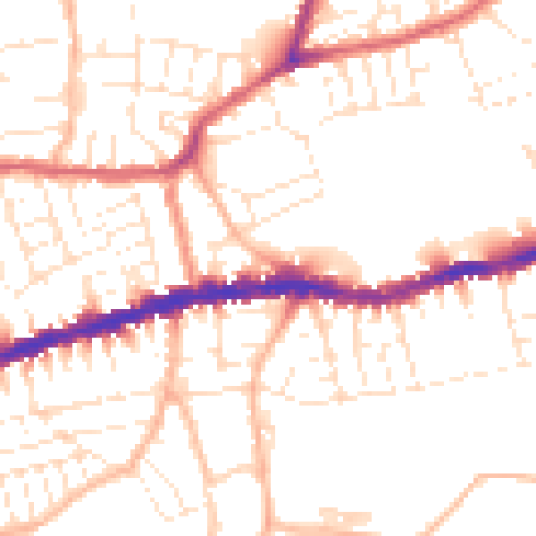
Daytime· 07:00 – 23:00
51.7dB

Night-time· 23:00 – 07:00
41.6dB