6 Caraway Gardens, Bristol, BS5 6YG
About 6 Caraway Gardens
6 Caraway Gardens is a mid-terrace house in Bristol (BS5 6YG). It has a recorded floor area of 78 m² (around 840 sq ft), construction records dating it to 1976-1982 and council tax band B. The latest certificate (November 2012) shows a C (score 72). The rating has held steady at C across 2 certificates since November 2012. Between certificates, lighting dropped from Good to Average. The recommended improvements would push it to B (score 91). The latest certificate is from November 2012, so improvements made since then won't be reflected.
At 78 m² it's 18.2% larger than the typical home in the postcode (66 m² median across 29 EPCs).
Everything you need to know about 6 Caraway Gardens
The true value, the hidden risks and the full sale history, in one report.
30-day money-back guarantee

The data behind every report


Energy performance
6 Caraway Gardens's EPC is over a decade old — improvements since won't be reflected.
EPC Expired
This certificate is over 10 years old and is no longer valid.Expired 21 Nov 2022
EPC Rating
Property Improvements
Changes detected from historical EPC data
Loft insulation upgraded to recommended levels
Planning history
6 Caraway Gardens has no planning applications on record.
Notable planning nearby
30applications of note in the surrounding area
We flagged 1 thing worth checking at 6 Caraway Gardens
Independent checks surfaced things a buyer would want to understand before offering. The report explains each one in full, with the underlying data and what to ask.
- Signs of HMO activity in the area
30-day money-back guarantee
Sales history & valuation
6 Caraway Gardens has no Land Registry sales on file, suggesting it has stayed in the same hands since registration began.
£309,000
Modelled from EPC, postcode comparables.
No sales recorded with HM Land Registry
That can mean the property has never traded since the registry began publishing in 1995, was a new build that hasn't been registered yet, or is held in the same hands long-term.
Median price across the last 5 sales in BS5 6YG: £283,000 (2024–2022).
Nearby sales in BS5 6YG
Versus other Caraway Gardens homes
6 Caraway Gardens outperforms the street on co₂ emissions by a wide margin.
EPC Rating
72 (C)
Street avg 67 (D)
Floor Area
78 m²
Street avg 84 m²
CO₂ Emissions
2.1 t/year
Street avg 3.2 t/year
Habitable Rooms
4 rooms
Street avg 4 rooms
Everything you need to know about 6 Caraway Gardens
The true value, the hidden risks and the full sale history, in one report.
30-day money-back guarantee
The data behind every report
Similar properties nearby
The neighbourhood at a glance
Rail-style transport is unusually close for this postcode.
Crime
11/mo
Steady year-on-year across the wider district.
Nearest stop
0.2 km
Glen Park — bus stop.
Closest school
0.1 km
May Park Primary School. 43 schools nearby.
Go deeper on the local area
The full report breaks down crime, transport links, schools and air quality in depth.
Road noise across the postcode
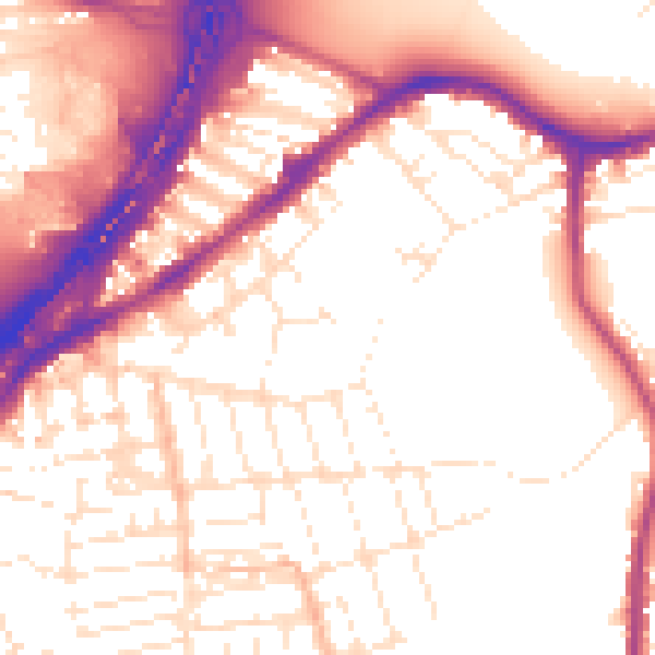
Daytime· 07:00 – 23:00
55.2dB

Night-time· 23:00 – 07:00
46.5dB