15 Bruce Cole Lane, Bristol, BS5 6FN
About 15 Bruce Cole Lane
15 Bruce Cole Lane is an end-of-terrace house in Bristol (BS5 6FN). It has a recorded floor area of 129 m² (around 1389 sq ft) and construction records dating it to 2020. The latest certificate (December 2022) returns a high B (score 85), putting the home a stone's throw from an A rating. The recommended improvements would push it to A (score 94).
Sold December 2022 for £569,950. That sale was during the post-pandemic price surge, when transactions cleared materially above pre-2020 trend.
Everything you need to know about 15 Bruce Cole Lane
The true value, the hidden risks and the full sale history, in one report.
30-day money-back guarantee

The data behind every report


Energy performance
EPC Rating
Planning history
15 Bruce Cole Lane has no planning applications on record.
Notable planning nearby
30applications of note in the surrounding area
We flagged 1 thing worth checking at 15 Bruce Cole Lane
Independent checks surfaced things a buyer would want to understand before offering. The report explains each one in full, with the underlying data and what to ask.
- Signs of HMO activity in the area
30-day money-back guarantee
Sales history & valuation
Latest sale on 15 Bruce Cole Lane was the highest on Land Registry record across the postcode.
£603,000
Modelled from EPC, postcode comparables.
£569,950
Recorded with HM Land Registry.
Sales timeline
20 December 2022Most recent
£569,950
Median price across the last 5 sales in BS5 6FN: £540,000 (2025–2023).
Nearby sales in BS5 6FN
9 Bruce Cole Lane, Bristol, BS5 6FN
Sold Nov 2025
£550,00021 Bruce Cole Lane, Bristol, BS5 6FN
Sold May 2024
£540,000Mint Lodge, Apartment 2, 23 Bruce Cole Lane, Bristol, BS5 6FN
Sold May 2024
£350,000Mint Lodge, Apartment 3, 23 Bruce Cole Lane, Bristol, BS5 6FN
Sold Mar 2024
£360,00011 Bruce Cole Lane, Bristol, BS5 6FN
Sold Dec 2023
£550,000
Versus other Bruce Cole Lane homes
CO₂ Emissions for 15 Bruce Cole Lane lags the street by a wide margin.
Price per m²
£4,418
Street avg £4,373
Floor Area
129 m²
Street avg 123 m²
CO₂ Emissions
1.7 t/year
Street avg 1.6 t/year
Years Held
3 years
Street avg 3 years
Everything you need to know about 15 Bruce Cole Lane
The true value, the hidden risks and the full sale history, in one report.
30-day money-back guarantee
The data behind every report
Similar properties nearby
The neighbourhood at a glance
Rail-style transport is unusually close for this postcode.
Crime
11/mo
Steady year-on-year across the wider district.
Nearest stop
0.3 km
Bruce Road — bus stop.
Closest school
0.2 km
Whitehall Primary School. 40 schools nearby.
Go deeper on the local area
The full report breaks down crime, transport links, schools and air quality in depth.
Road noise across the postcode
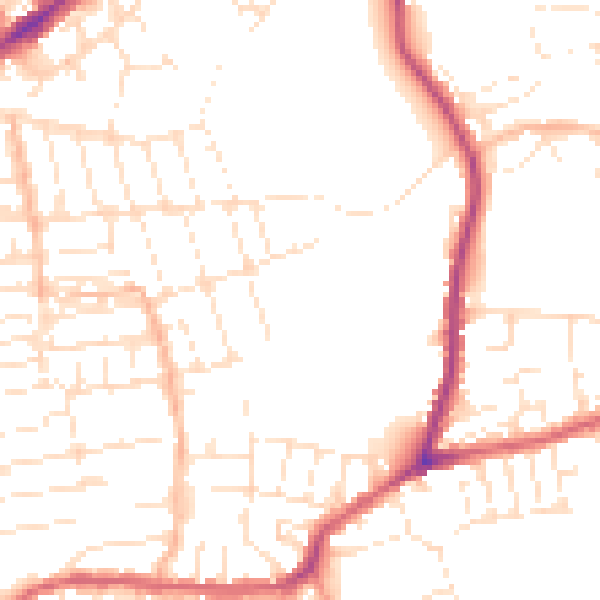
Daytime· 07:00 – 23:00
51.1dB

Night-time· 23:00 – 07:00
41.4dB