6 School Close, Eastville, Bristol, BS5 6EB
About 6 School Close
6 School Close is a mid-terrace house in Eastville, Bristol, Bristol (BS5 6EB). It has a recorded floor area of 49 m² (around 527 sq ft), construction records dating it to 1996-2002 and council tax band A. The latest certificate (January 2024) returns a B (score 82), comfortably above the UK average. The rating has held steady at B across 3 certificates since September 2009. Between certificates, window efficiency went from Average to Good. At 49 m² this is the 10th smallest of 36 units on EPC record in the building, where floor areas span 37–81 m². The building's EPC ratings span C to B, with this unit at the top. On EPC score it ranks first in the building (82 versus a worst of 70).
On energy efficiency it sits in the top 10% of properties in this postcode.
Everything you need to know about 6 School Close
The true value, the hidden risks and the full sale history, in one report.
30-day money-back guarantee

The data behind every report


Energy performance
6 School Close ranks among the most efficient homes in the postcode for energy use.
EPC Rating
Property Improvements
Changes detected from historical EPC data
Low energy lighting percentage decreased
Window efficiency improved
More low energy lighting installed
Planning history
6 School Close has no planning applications on record.
Notable planning nearby
30applications of note in the surrounding area
We flagged 1 thing worth checking at 6 School Close
Independent checks surfaced things a buyer would want to understand before offering. The report explains each one in full, with the underlying data and what to ask.
- Signs of HMO activity in the area
30-day money-back guarantee
Sales history & valuation
6 School Close has no Land Registry sales on file, suggesting it has stayed in the same hands since registration began.
£165,000
Modelled from EPC, postcode comparables.
No sales recorded with HM Land Registry
That can mean the property has never traded since the registry began publishing in 1995, was a new build that hasn't been registered yet, or is held in the same hands long-term.
Versus other School Close homes
On epc rating, 6 School Close stands well clear of the street.
EPC Rating
82 (B)
Street avg 75 (C)
Floor Area
49 m²
Street avg 48 m²
CO₂ Emissions
0.9 t/year
Street avg 1.4 t/year
Habitable Rooms
2 rooms
Street avg 3 rooms
Everything you need to know about 6 School Close
The true value, the hidden risks and the full sale history, in one report.
30-day money-back guarantee
The data behind every report
Similar properties nearby
The neighbourhood at a glance
Crime
11/mo
Steady year-on-year across the wider district.
Nearest stop
0.1 km
Royate Hill — bus stop.
Closest school
0.5 km
May Park Primary School. 41 schools nearby.
Go deeper on the local area
The full report breaks down crime, transport links, schools and air quality in depth.
Road noise across the postcode
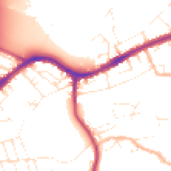
Daytime· 07:00 – 23:00
51.9dB

Night-time· 23:00 – 07:00
43.2dB