89a, Bakers Ground, Stoke Gifford, Bristol, BS34 8GD
About 89a
89a is a three-bedroom detached house in Stoke Gifford, Bristol, Bristol (BS34 8GD). It has a recorded floor area of 91 m² (around 980 sq ft), construction records dating it to 1991-1995 and council tax band D. The latest certificate (December 2019) shows a C (score 71). When first surveyed in February 2009 the rating was D, the property has climbed 1 band since. Between certificates, lighting went from Good to Very Good. The recommended improvements would push it to B (score 84). Other recorded features include a conservatory.
Across 1997–2012, sale prices on this property compounded at 7.3% per year. Today's modelled estimate of £420,000 sits 82.6% above the 2012 sale of £230,000. On a £-per-square-foot basis, the last sale (£235/sq ft) was about 47.2% above the typical sold price in the postcode. Last changed hands 14 years ago, in August 2012. Across the public record there are 4 sales, relatively high churn for a single property. At 91 m² it's 15.7% smaller than the typical home in the postcode (108 m² median across 45 EPCs).
What this property has
Inside
- Bedrooms3
- Bathrooms3
- CloakroomYes
- EnsuiteYes
- ConservatoryYes
Outside
- GarageYes
Building
- Heating systemGas
Everything you need to know about 89a
The true value, the hidden risks and the full sale history, in one report.
Pick your report · every report is £14.99
One time fee only - money back guarantee

The data behind every report


Energy performance
EPC Rating
Property Improvements
Changes detected from historical EPC data
Heating controls upgraded for better temperature management
Loft insulation upgraded to recommended levels
More low energy lighting installed
Get a survey for this property
Level 2 HomeBuyer Report
We've checked 10 risk factors against the available data for this property and believe a Level 2 HomeBuyer Report could be a suitable option for you.
From £695 · Includes VAT
Planning history
89a has no planning applications on record.
But the area is active
9 notable applications nearby — larger schemes and conversions that could reshape the street. The report maps them all.
Sales history & valuation
Sale price has at least doubled since 1997.
£420,000
Modelled from EPC, postcode comparables and a sale-price growth of 7.3% per year over 15 years.
£230,000
Growth on file: 7.3% per year over 15 years.
Sales timeline
23 August 2012Most recent
£230,000
+12.2%over 3 years7 May 2009
£205,000
-3.5%over 11 months29 May 2008
£212,500
+174.4%over 11 years27 March 1997
£77,450
Median price across the last 5 sales in BS34 8GD: £450,000 (2025–2021).
Nearby sales in BS34 8GD
1 Bakers Ground, Stoke Gifford, Bristol, BS34 8GD
Sold Aug 2025
£450,000143 Bakers Ground, Stoke Gifford, Bristol, BS34 8GD
Sold Jun 2025
£425,00091 Bakers Ground, Stoke Gifford, Bristol, BS34 8GD
Sold Dec 2023
£540,0009 Bakers Ground, Stoke Gifford, Bristol, BS34 8GD
Sold Feb 2022
£525,00087a, Bakers Ground, Stoke Gifford, Bristol, BS34 8GD
Sold Sept 2021
£425,000
Versus other Bakers Ground homes
CO₂ Emissions for 89a runs comfortably ahead of the street norm.
Price per m²
£2,527
Street avg £2,798
Floor Area
91 m²
Street avg 112 m²
Habitable Rooms
6 rooms
Street avg 6 rooms
CO₂ Emissions
3.0 t/year
Street avg 4.1 t/year
Everything you need to know about 89a
The true value, the hidden risks and the full sale history, in one report.
Pick your report · every report is £14.99
One time fee only - money back guarantee
The data behind every report
Similar properties nearby
1 Beaufort Crescent, Stoke Gifford
BS34 8QX
1 Cerimon Gate, Stoke Gifford
BS34 8UN
1 Bush Avenue, Little Stoke
BS34 8LY
1 Charbon Gate, Stoke Gifford
BS34 8XF
1 Buckingham Drive, Stoke Gifford
BS34 8NS
1 Constantine Avenue, Stoke Gifford
BS34 8UG
1 Albany Gate, Stoke Gifford
BS34 8UJ
1 Chevening Close, Stoke Gifford
BS34 8NJ
The neighbourhood at a glance
Rail-style transport is unusually close for this postcode.
Crime
6/mo
Steady year-on-year across the wider district.
Nearest stop
0.2 km
Oxbarton — bus stop.
Closest school
0.5 km
Bailey's Court Primary School. 19 schools nearby.
Go deeper on the local area
A Local Area report breaks down crime, transport links, schools and air quality in depth.
Road noise across the postcode
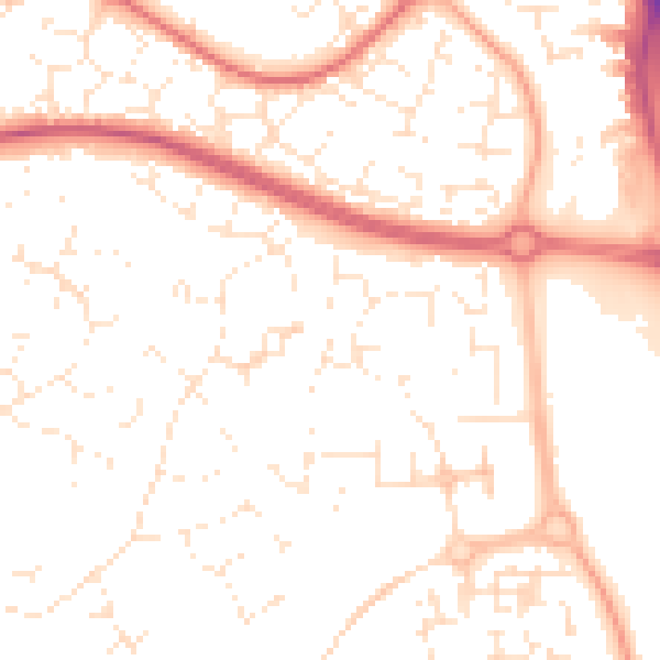
Daytime· 07:00 – 23:00
51.8dB

Night-time· 23:00 – 07:00
41.4dB