10 Hollyleigh Avenue, Bristol, BS34 7QU
About 10 Hollyleigh Avenue
10 Hollyleigh Avenue is a three-bedroom semi-detached house in Bristol (BS34 7QU). It has a recorded floor area of 88 m² (around 947 sq ft), construction records dating it to 1930-1949 and council tax band D. The latest certificate (October 2010) shows a C (score 73). The latest certificate is from October 2010, so improvements made since then won't be reflected.
Untraded for 19 years, with the last transfer in May 2007. That sale landed at the peak of the pre-credit-crunch market, which is a useful reference point when interpreting the price. Today's modelled estimate of £386,000 sits 61.5% above the 2007 sale of £239,050. On a £-per-square-foot basis, the last sale (£253/sq ft) was about 56.7% above the typical sold price in the postcode. At 88 m² it's 24.2% smaller than the typical home in the postcode (116 m² median across 6 EPCs). Its energy rating outperforms most of the postcode (better than 83% of similar EPCs).
What this property has
Inside
- Bedrooms3
- Dining roomYes
Outside
- Private gardenYes
- GarageYes
Building
- RefurbishedYes
Everything you need to know about 10 Hollyleigh Avenue
The true value, the hidden risks and the full sale history, in one report.
Pick your report · every report is £14.99
One time fee only - money back guarantee

The data behind every report


Energy performance
10 Hollyleigh Avenue's EPC is over a decade old — improvements since won't be reflected.
EPC Expired
This certificate is over 10 years old and is no longer valid.Expired 04 Oct 2020
EPC Rating
Get a survey for this property
Level 2 HomeBuyer Report
We've checked 10 risk factors against the available data for this property and believe a Level 2 HomeBuyer Report could be a suitable option for you.
From £595 · Includes VAT
Planning history
10 Hollyleigh Avenue has no planning applications on record.
But the area is active
130 notable applications nearby — larger schemes and conversions that could reshape the street. The report maps them all.
Sales history & valuation
The latest sale landed at the peak of the pre-credit-crunch market — a high-water reference point.
£386,000
Modelled from EPC, postcode comparables.
£239,050
Recorded with HM Land Registry.
Sales timeline
24 May 2007Most recent
£239,050
Median price across the last 5 sales in BS34 7QU: £265,000 (2019–2009).
Nearby sales in BS34 7QU
Versus other Hollyleigh Avenue homes
On floor area, 10 Hollyleigh Avenue runs well behind the street norm.
Price per m²
£2,718
Street avg £2,165
Floor Area
88 m²
Street avg 129 m²
Habitable Rooms
4 rooms
Street avg 6 rooms
CO₂ Emissions
3.1 t/year
Street avg 5.5 t/year
Everything you need to know about 10 Hollyleigh Avenue
The true value, the hidden risks and the full sale history, in one report.
Pick your report · every report is £14.99
One time fee only - money back guarantee
The data behind every report
Similar properties nearby
1 Glebelands Road, Filton
BS34 7AD
1 Concorde House, Bevan Court, Filton
BS34 7QN
1 Blenheim Drive, Filton
BS34 7AX
1 Charlton Avenue
BS34 7QX
1 Canberra Grove, Filton
BS34 7DH
1 Elm Park, Filton
BS34 7PR
1 Clyde Grove, Filton
BS34 7RL
1 Dunkeld Avenue, Filton
BS34 7RH
The neighbourhood at a glance
Crime
6/mo
Steady year-on-year across the wider district.
Nearest stop
0.1 km
Golf Course Lane — bus stop.
Closest school
0.3 km
Charborough Road Primary School. 24 schools nearby.
Go deeper on the local area
A Local Area report breaks down crime, transport links, schools and air quality in depth.
Road noise across the postcode
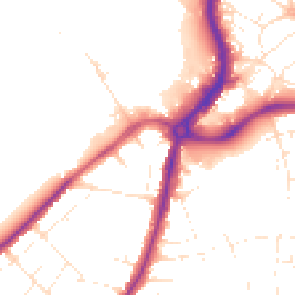
Daytime· 07:00 – 23:00
50.4dB

Night-time· 23:00 – 07:00
42.0dB