1 Nutfield Grove, Filton, Bristol, BS34 7LJ
About 1 Nutfield Grove
1 Nutfield Grove is a two-bedroom semi-detached house in Filton, Bristol, Bristol (BS34 7LJ). It has a recorded floor area of 53 m² (around 570 sq ft), construction records dating it to 1976-1982 and council tax band B. Tenure is freehold. The latest certificate (October 2016) shows a D (score 62), on the cusp of jumping into the C band. The recommended improvements would lift it to B (score 90), a 2-band jump.
It lags the bulk of the postcode on energy efficiency (less efficient than 71% of similar EPCs). Today's modelled estimate of £288,000 is 47.7% above the 2017 sale price. On a £-per-square-foot basis, the last sale (£342/sq ft) was about 39.2% above the typical sold price in the postcode. 9 years since the last transfer (February 2017).
What this property has
Inside
- Bedrooms2
- Bathrooms1
- Dining roomYes
Outside
- ParkingAllocated
Building
- TenureFreehold
- Heating systemGas
- RefurbishedYes
Everything you need to know about 1 Nutfield Grove
The true value, the hidden risks and the full sale history, in one report.
Pick your report · every report is £14.99
One time fee only - money back guarantee

The data behind every report


Energy performance
Recommended upgrades on file would lift this property by multiple EPC bands.
EPC Rating
Get a survey for this property
Level 2 HomeBuyer Report
We've checked 10 risk factors against the available data for this property and believe a Level 2 HomeBuyer Report could be a suitable option for you.
From £545 · Includes VAT
Planning history
1 Nutfield Grove has no planning applications on record.
But the area is active
130 notable applications nearby — larger schemes and conversions that could reshape the street. The report maps them all.
Sales history & valuation
1 Nutfield Grove valuation sits well clear of the typical sold price in this postcode.
£288,000
Modelled from EPC, postcode comparables.
£195,000
Recorded with HM Land Registry.
Sales timeline
16 February 2017Most recent
£195,000
Median price across the last 5 sales in BS34 7LJ: £278,250 (2025–2023).
Nearby sales in BS34 7LJ
29 Nutfield Grove, Filton, Bristol, BS34 7LJ
Sold Feb 2025
£278,25010 Nutfield Grove, Filton, Bristol, BS34 7LJ
Sold Feb 2025
£277,0006 Nutfield Grove, Filton, Bristol, BS34 7LJ
Sold Jul 2024
£285,00015 Nutfield Grove, Filton, Bristol, BS34 7LJ
Sold Jul 2024
£283,0008 Nutfield Grove, Filton, Bristol, BS34 7LJ
Sold Dec 2023
£273,500
Versus other Nutfield Grove homes
On epc rating, 1 Nutfield Grove runs well behind the street norm.
Price per m²
£3,679
Street avg £3,456
Floor Area
53 m²
Street avg 55 m²
Habitable Rooms
3 rooms
Street avg 3 rooms
CO₂ Emissions
2.8 t/year
Street avg 2.5 t/year
Everything you need to know about 1 Nutfield Grove
The true value, the hidden risks and the full sale history, in one report.
Pick your report · every report is £14.99
One time fee only - money back guarantee
The data behind every report
Similar properties nearby
1 Elm Park, Filton
BS34 7PR
1 Canberra Grove, Filton
BS34 7DH
1 Blenheim Drive, Filton
BS34 7AX
1 Concorde House, Bevan Court, Filton
BS34 7QN
1 Glebelands Road, Filton
BS34 7AD
1 Charlton Avenue
BS34 7QX
1 Meadowsweet Avenue, Filton
BS34 7AN
1 Mackie Road, Filton
BS34 7LY
The neighbourhood at a glance
Rail-style transport is unusually close for this postcode.
Crime
6/mo
Steady year-on-year across the wider district.
Nearest stop
0.1 km
Filton Abbey Wood Rail Station — railway station.
Closest school
0.5 km
Shield Road Primary School. 22 schools nearby.
Go deeper on the local area
A Local Area report breaks down crime, transport links, schools and air quality in depth.
Road noise across the postcode
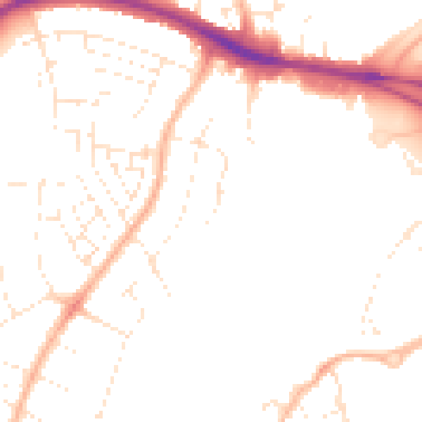
Daytime· 07:00 – 23:00
48.5dB

Night-time· 23:00 – 07:00
38.8dB