5a, Mortimer Road, Filton, Bristol, BS34 7LE
About 5a
5a is an end-of-terrace house in Filton, Bristol, Bristol (BS34 7LE). It has a recorded floor area of 60 m² (around 646 sq ft), construction records dating it to 2003-2006 and council tax band A. The latest certificate (January 2015) shows a C (score 79), near the top of the C band. The rating has held steady at C across 2 certificates since July 2014. Between certificates, wall efficiency went from Good to Very Good, roof efficiency went from Good to Very Good and window efficiency went from Good to Very Good. The recommended improvements would lift it to A (score 93), a 2-band jump. The latest certificate is from January 2015, so improvements made since then won't be reflected.
One planning record on file: an extension approved in 2023. Past consents include an extension, meaningful when judging how the property has evolved. At 60 m² it's 29.4% smaller than the typical home in the postcode (85 m² median across 13 EPCs).
Everything you need to know about 5a
The true value, the hidden risks and the full sale history, in one report.
Pick your report · every report is £14.99
One time fee only - money back guarantee

The data behind every report


Energy performance
5a's carbon output is low for the local stock.
EPC Expired
This certificate is over 10 years old and is no longer valid.Expired 13 Jan 2025
EPC Rating
Property Improvements
Changes detected from historical EPC data
Heating controls upgraded for better temperature management
High performance glazing installed
Wall insulation improved
Loft insulation upgraded to recommended levels
Get a survey for this property
Level 2 HomeBuyer Report
We've checked 10 risk factors against the available data for this property and believe a Level 2 HomeBuyer Report could be a suitable option for you.
From £545 · Includes VAT
Planning history
5a has an approved single-storey rear extension on the planning record.
1 application on record at 5a, Mortimer Road, Filton, Bristol, BS34 7LE
- Nov 2023ExtensionFullOutcome in report
Extension: Single storey · Rear of property
Erection of first floor rear extension to provide additional living accommodation (Resubmission of P22/05660/HH)
- Documents
- 16 docs on file
- Reference
- P23/02108/HH
Unlock 5a, Mortimer Road, Filton, Bristol, BS34 7LE's full planning history
You're seeing the shape of it. The report has the substance.
- Every decision — granted, refused or withdrawn (1 on record)
- All 1 application on this property in full, plus 130 notable nearby
- The 16 documents, officer reports & conditions
- What the pattern means for extending or converting here
One time fee only - money back guarantee
Sales history & valuation
5a has no Land Registry sales on file, suggesting it has stayed in the same hands since registration began.
£207,000
Modelled from EPC, postcode comparables.
No sales recorded with HM Land Registry
That can mean the property has never traded since the registry began publishing in 1995, was a new build that hasn't been registered yet, or is held in the same hands long-term.
Median price across the last 5 sales in BS34 7LE: £311,500 (2025–2020).
Nearby sales in BS34 7LE
9 Mortimer Road, Filton, Bristol, BS34 7LE
Sold Jul 2025
£311,5003 Mortimer Road, Filton, Bristol, BS34 7LE
Sold Jul 2024
£410,00043 Mortimer Road, Filton, Bristol, BS34 7LE
Sold Aug 2023
£315,00031 Mortimer Road, Filton, Bristol, BS34 7LE
Sold May 2022
£285,00019 Mortimer Road, Filton, Bristol, BS34 7LE
Sold Dec 2020
£292,000
Versus other Mortimer Road homes
5a outperforms the street on epc rating by a wide margin.
EPC Rating
79 (C)
Street avg 64 (D)
Floor Area
60 m²
Street avg 87 m²
CO₂ Emissions
1.4 t/year
Street avg 3.7 t/year
Everything you need to know about 5a
The true value, the hidden risks and the full sale history, in one report.
Pick your report · every report is £14.99
One time fee only - money back guarantee
The data behind every report
Similar properties nearby
1 Hill View, Filton
BS34 7BS
1 Mackie Road, Filton
BS34 7LY
1 Britannia House, Bevan Court
BS34 7QL
1 Cotswold View, Filton
BS34 7BP
1 Hanover Court, Rectory Lane, Filton
BS34 7BE
1 Meadowsweet Avenue, Filton
BS34 7AN
1 Canberra Grove, Filton
BS34 7DH
1 Brookfield, Filton
BS34 7DY
The neighbourhood at a glance
Rail-style transport is unusually close for this postcode.
Crime
6/mo
Steady year-on-year across the wider district.
Nearest stop
0.1 km
Wallscourt Road — bus stop.
Closest school
0.4 km
Shield Road Primary School. 20 schools nearby.
Go deeper on the local area
A Local Area report breaks down crime, transport links, schools and air quality in depth.
Road noise across the postcode
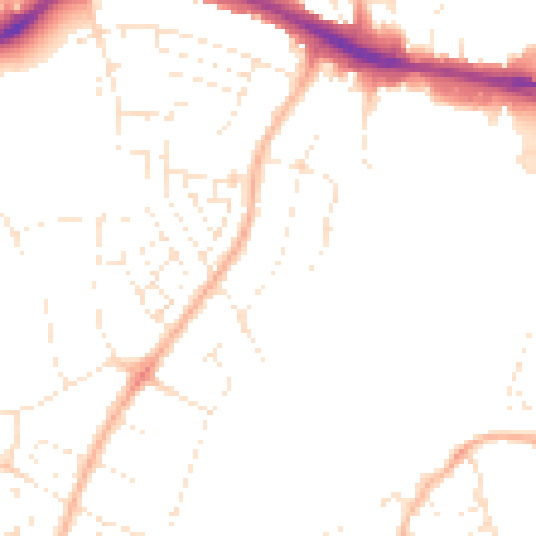
Daytime· 07:00 – 23:00
48.0dB

Night-time· 23:00 – 07:00
38.4dB