628 Filton Avenue, Filton, Bristol, BS34 7LD
About 628 Filton Avenue
628 Filton Avenue is a two-bedroom mid-terrace house in Filton, Bristol, Bristol (BS34 7LD). It has a recorded floor area of 63 m² (around 678 sq ft), construction records dating it to 1930-1949 and council tax band B. The latest certificate (August 2018) shows a D (score 66), on the cusp of jumping into the C band. The recommended improvements would lift it to B (score 88), a 2-band jump. Period features are noted in the property record.
It hasn't traded since August 1997, a hold of 29 years that's notably long for the area. Only one transfer is on record with HM Land Registry, suggesting it has stayed in the same hands for a long time. Today's modelled estimate of £294,000 sits 694.6% above the 1997 sale of £37,000. On a £-per-square-foot basis, the last sale (£55/sq ft) was about 73.1% below the postcode norm.
What this property has
Inside
- Bedrooms2
- Bathrooms1
Outside
- Private gardenRear
- GarageYes
Building
- Period featuresYes
Everything you need to know about 628 Filton Avenue
The true value, the hidden risks and the full sale history, in one report.
Pick your report · every report is £14.99
One time fee only - money back guarantee

The data behind every report


Energy performance
Recommended upgrades on file would lift this property by multiple EPC bands.
EPC Rating
Get a survey for this property
Level 3 Building Survey
Because the property has solid (non-cavity) walls, we believe a Level 3 building survey should be considered.
From £885 · Includes VAT
Planning history
628 Filton Avenue has no planning applications on record.
But the area is active
130 notable applications nearby — larger schemes and conversions that could reshape the street. The report maps them all.
Sales history & valuation
628 Filton Avenue's modelled value sits at over four times its earliest registered sale price (1997).
£294,000
Modelled from EPC, postcode comparables.
£37,000
Recorded with HM Land Registry.
Sales timeline
14 August 1997Most recent
£37,000
Median price across the last 5 sales in BS34 7LD: £287,000 (2025–2023).
Nearby sales in BS34 7LD
614 Filton Avenue, Filton, Bristol, BS34 7LD
Sold Feb 2025
£295,000620 Filton Avenue, Filton, Bristol, BS34 7LD
Sold Nov 2024
£287,000636 Filton Avenue, Filton, Bristol, BS34 7LD
Sold Oct 2024
£245,000606 Filton Avenue, Filton, Bristol, BS34 7LD
Sold Jan 2024
£265,000640 Filton Avenue, Filton, Bristol, BS34 7LD
Sold Mar 2023
£350,000
Versus other Filton Avenue homes
Price per m² for 628 Filton Avenue lags the street by a wide margin.
Price per m²
£587
Street avg £3,356
Floor Area
63 m²
Street avg 89 m²
Habitable Rooms
3 rooms
Street avg 5 rooms
CO₂ Emissions
2.7 t/year
Street avg 3.7 t/year
Everything you need to know about 628 Filton Avenue
The true value, the hidden risks and the full sale history, in one report.
Pick your report · every report is £14.99
One time fee only - money back guarantee
The data behind every report
Similar properties nearby
1 Elm Park, Filton
BS34 7PR
1 Canberra Grove, Filton
BS34 7DH
1 Blenheim Drive, Filton
BS34 7AX
1 Concorde House, Bevan Court, Filton
BS34 7QN
1 Glebelands Road, Filton
BS34 7AD
1 Charlton Avenue
BS34 7QX
1 Meadowsweet Avenue, Filton
BS34 7AN
1 Clyde Grove, Filton
BS34 7RL
The neighbourhood at a glance
Rail-style transport is unusually close for this postcode.
Crime
6/mo
Steady year-on-year across the wider district.
Nearest stop
0.1 km
Wallscourt Road — bus stop.
Closest school
0.4 km
Shield Road Primary School. 21 schools nearby.
Go deeper on the local area
A Local Area report breaks down crime, transport links, schools and air quality in depth.
Road noise across the postcode
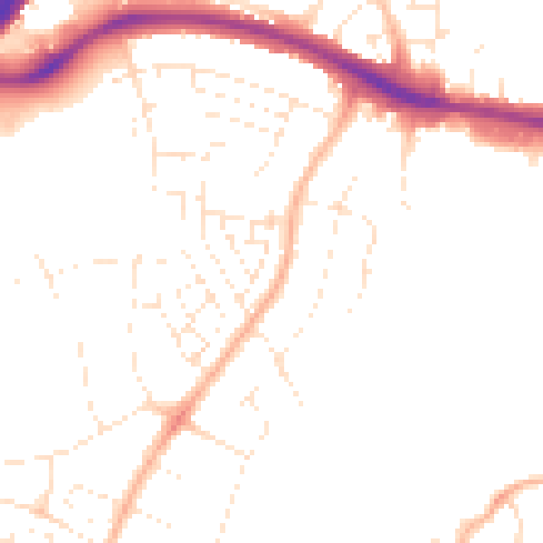
Daytime· 07:00 – 23:00
48.6dB

Night-time· 23:00 – 07:00
39.1dB