608 Filton Avenue, Filton, Bristol, BS34 7LD
About 608 Filton Avenue
608 Filton Avenue is a mid-terrace house in Filton, Bristol, Bristol (BS34 7LD). It has a recorded floor area of 67 m² (around 721 sq ft), construction records dating it to 1930-1949 and council tax band B. The latest certificate (October 2025) shows a D (score 64), on the cusp of jumping into the C band. When first surveyed in February 2015 the rating was E, the property has climbed 1 band since. Between certificates, roof efficiency went from Poor to Good, hot-water efficiency went from Poor to Average and lighting went from Very Poor to Very Good; while window efficiency dropped from Average to Poor. The recommended improvements would push it to C (score 76).
Across 1997–2021, sale prices on this property compounded at 8% per year. On a £-per-square-foot basis, the last sale (£347/sq ft) was about 71.1% above the typical sold price in the postcode. Most recent transfer: September 2021 at £250,000. That sale was during the post-pandemic price surge, when transactions cleared materially above pre-2020 trend.
Everything you need to know about 608 Filton Avenue
The true value, the hidden risks and the full sale history, in one report.
Pick your report · every report is £14.99
One time fee only - money back guarantee

The data behind every report


Energy performance
EPC Rating
Property Improvements
Changes detected from historical EPC data
Heating controls upgraded for better temperature management
Hot water efficiency improved
Roof insulation improved
More low energy lighting installed
Get a survey for this property
Level 2 HomeBuyer Report
We've checked 10 risk factors against the available data for this property and believe a Level 2 HomeBuyer Report could be a suitable option for you.
From £545 · Includes VAT
Planning history
608 Filton Avenue has no planning applications on record.
But the area is active
130 notable applications nearby — larger schemes and conversions that could reshape the street. The report maps them all.
Sales history & valuation
608 Filton Avenue has more than quadrupled in price since its earliest registered sale in 1997.
£271,000
Modelled from EPC, postcode comparables and a sale-price growth of 8.0% per year over 24 years.
£250,000
Growth on file: 8.0% per year over 24 years.
Sales timeline
29 September 2021Most recent
£250,000
+227.9%over 19 years7 December 2001
£76,250
+95.5%over 4 years7 August 1997
£39,000
Median price across the last 5 sales in BS34 7LD: £287,000 (2025–2023).
Nearby sales in BS34 7LD
614 Filton Avenue, Filton, Bristol, BS34 7LD
Sold Feb 2025
£295,000620 Filton Avenue, Filton, Bristol, BS34 7LD
Sold Nov 2024
£287,000636 Filton Avenue, Filton, Bristol, BS34 7LD
Sold Oct 2024
£245,000606 Filton Avenue, Filton, Bristol, BS34 7LD
Sold Jan 2024
£265,000640 Filton Avenue, Filton, Bristol, BS34 7LD
Sold Mar 2023
£350,000
Versus other Filton Avenue homes
608 Filton Avenue outperforms the street on co₂ emissions by a wide margin.
Price per m²
£3,731
Street avg £3,114
Floor Area
67 m²
Street avg 88 m²
Habitable Rooms
4 rooms
Street avg 5 rooms
CO₂ Emissions
2.6 t/year
Street avg 3.7 t/year
Everything you need to know about 608 Filton Avenue
The true value, the hidden risks and the full sale history, in one report.
Pick your report · every report is £14.99
One time fee only - money back guarantee
The data behind every report
Similar properties nearby
1 Mackie Road, Filton
BS34 7LY
1 Meadowsweet Avenue, Filton
BS34 7AN
1 Canberra Grove, Filton
BS34 7DH
1 Brookfield, Filton
BS34 7DY
1 Blenheim Drive, Filton
BS34 7AX
1 Bude Road, Filton
BS34 7HN
1 Concorde House, Bevan Court, Filton
BS34 7QN
1 Branksome Drive, Filton
BS34 7EG
The neighbourhood at a glance
Rail-style transport is unusually close for this postcode.
Crime
6/mo
Steady year-on-year across the wider district.
Nearest stop
0.1 km
Wallscourt Road — bus stop.
Closest school
0.4 km
Shield Road Primary School. 21 schools nearby.
Go deeper on the local area
A Local Area report breaks down crime, transport links, schools and air quality in depth.
Road noise across the postcode
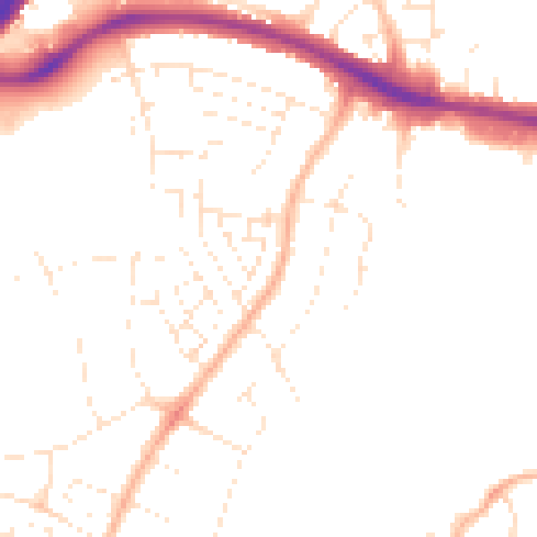
Daytime· 07:00 – 23:00
48.6dB

Night-time· 23:00 – 07:00
39.1dB