2 Jubilee House, Little Stoke Lane, Little Stoke, Bristol, BS34 6JH
About 2 Jubilee House
2 Jubilee House is a semi-detached house in Little Stoke, Bristol, Bristol (BS34 6JH). It has a recorded floor area of 46 m² (around 495 sq ft), construction records dating it to 1976-1982 and council tax band A. The latest certificate (July 2014) shows a D (score 66), on the cusp of jumping into the C band. The rating has held steady at D across 2 certificates since May 2014. Between certificates, wall efficiency went from Average to Good. The recommended improvements would push it to C (score 74). Main heating runs on electricity. The latest certificate is from July 2014, so improvements made since then won't be reflected.
Everything you need to know about 2 Jubilee House
The true value, the hidden risks and the full sale history, in one report.
Pick your report · every report is £14.99
One time fee only - money back guarantee

The data behind every report


Energy performance
2 Jubilee House's EPC is over a decade old — improvements since won't be reflected.
EPC Expired
This certificate is over 10 years old and is no longer valid.Expired 07 Jul 2024
EPC Rating
Property Improvements
Changes detected from historical EPC data
Wall insulation upgraded
Get a survey for this property
Level 3 Building Survey
Because the property has no mains gas supply, we believe a Level 3 building survey should be considered.
From £820 · Includes VAT
Planning history
2 Jubilee House has no planning applications on record.
But the area is active
5 notable applications nearby — larger schemes and conversions that could reshape the street. The report maps them all.
Sales history & valuation
2 Jubilee House has no Land Registry sales on file, suggesting it has stayed in the same hands since registration began.
£155,000
Modelled from EPC, postcode comparables.
No sales recorded with HM Land Registry
That can mean the property has never traded since the registry began publishing in 1995, was a new build that hasn't been registered yet, or is held in the same hands long-term.
Median price across the last 3 sales in BS34 6JH: £67,800 (2011–2006).
Nearby sales in BS34 6JH
Versus other Little Stoke Lane homes
2 Jubilee House is notably below the street on floor area.
EPC Rating
66 (D)
Street avg 66 (D)
Floor Area
46 m²
Street avg 53 m²
CO₂ Emissions
2.7 t/year
Street avg 2.8 t/year
Habitable Rooms
2 rooms
Street avg 3 rooms
Everything you need to know about 2 Jubilee House
The true value, the hidden risks and the full sale history, in one report.
Pick your report · every report is £14.99
One time fee only - money back guarantee
The data behind every report
Similar properties nearby
1 Jubilee House, Little Stoke Lane, Little Stoke
BS34 6JH
1 Brook House, Tetbury Close, Little Stoke
BS34 6SA
1 Kilminster Close, Little Stoke
BS34 6HN
1 Kings Court, Kingsway, Little Stoke
BS34 6JW
1 Amberley Road, Patchway
BS34 6BU
1 Hercules Close, Little Stoke
BS34 6JE
1 Gifford Crescent, Little Stoke
BS34 6JJ
1 Elm Close, Little Stoke
BS34 6RG
The neighbourhood at a glance
Rail-style transport is unusually close for this postcode.
Crime
6/mo
Steady year-on-year across the wider district.
Nearest stop
0.1 km
Farley Close — bus stop.
Closest school
0.4 km
Holy Family Catholic Primary School. 20 schools nearby.
Go deeper on the local area
A Local Area report breaks down crime, transport links, schools and air quality in depth.
Road noise across the postcode
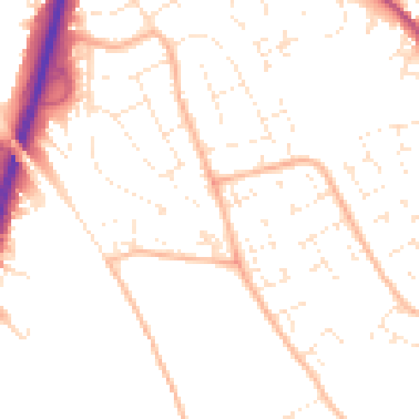
Daytime· 07:00 – 23:00
50.3dB

Night-time· 23:00 – 07:00
40.1dB