17 Stratton Close, Little Stoke, Bristol, BS34 6HD
About 17 Stratton Close
17 Stratton Close is a mid-terrace house in Little Stoke, Bristol, Bristol (BS34 6HD). It has a recorded floor area of 89 m² (around 958 sq ft), construction records dating it to 1967-1975 and council tax band B. The latest certificate (April 2014) shows a D (score 66), on the cusp of jumping into the C band. The rating has held steady at D across 2 certificates since March 2014. The recommended improvements would lift it to B (score 85), a 2-band jump. The latest certificate is from April 2014, so improvements made since then won't be reflected.
Held since May 2001 — that's 25 years off the open market, well above the local norm. Only one transfer is on record with HM Land Registry, suggesting it has stayed in the same hands for a long time. Today's modelled estimate of £302,000 sits 271.7% above the 2001 sale of £81,250. On a £-per-square-foot basis, the last sale (£85/sq ft) was about 49.9% below the postcode norm.
Everything you need to know about 17 Stratton Close
The true value, the hidden risks and the full sale history, in one report.
Pick your report · every report is £14.99
One time fee only - money back guarantee

The data behind every report


Energy performance
Recommended upgrades on file would lift this property by multiple EPC bands.
EPC Expired
This certificate is over 10 years old and is no longer valid.Expired 21 Apr 2024
EPC Rating
Get a survey for this property
Level 3 Building Survey
Because the property has been extended more than once, we believe a Level 3 building survey should be considered.
From £955 · Includes VAT
Planning history
17 Stratton Close has no planning applications on record.
But the area is active
5 notable applications nearby — larger schemes and conversions that could reshape the street. The report maps them all.
Sales history & valuation
17 Stratton Close's estimated value is more than triple its earliest registered sale price (2001).
£302,000
Modelled from EPC, postcode comparables.
£81,250
Recorded with HM Land Registry.
Sales timeline
31 May 2001Most recent
£81,250
Median price across the last 5 sales in BS34 6HD: £180,000 (2025–2006).
Nearby sales in BS34 6HD
1 Stratton Close, Little Stoke, Bristol, BS34 6HD
Sold Oct 2025
£320,00018 Stratton Close, Little Stoke, Bristol, BS34 6HD
Sold Feb 2022
£280,00015 Stratton Close, Little Stoke, Bristol, BS34 6HD
Sold Jul 2014
£180,0003 Stratton Close, Little Stoke, Bristol, BS34 6HD
Sold Apr 2006
£167,0005 Stratton Close, Little Stoke, Bristol, BS34 6HD
Sold Jan 2004
£124,000
Versus other Stratton Close homes
On price per m², 17 Stratton Close runs well behind the street norm.
Price per m²
£913
Street avg £2,517
Floor Area
89 m²
Street avg 91 m²
Habitable Rooms
6 rooms
Street avg 5 rooms
CO₂ Emissions
3.4 t/year
Street avg 3.2 t/year
Everything you need to know about 17 Stratton Close
The true value, the hidden risks and the full sale history, in one report.
Pick your report · every report is £14.99
One time fee only - money back guarantee
The data behind every report
Similar properties nearby
1 Gallivan Close, Little Stoke
BS34 6RW
1 Elm Close, Little Stoke
BS34 6RG
1 Gifford Crescent, Little Stoke
BS34 6JJ
1 Ash Close, Little Stoke
BS34 6RE
1 Farley Close, Little Stoke
BS34 6HB
1 Filby Drive, Little Stoke
BS34 6EL
1 Collins Avenue, Little Stoke
BS34 6JZ
1 Hercules Close, Little Stoke
BS34 6JE
The neighbourhood at a glance
Rail-style transport is unusually close for this postcode.
Crime
6/mo
Steady year-on-year across the wider district.
Nearest stop
0.1 km
Farley Close — bus stop.
Closest school
0.4 km
Stoke Lodge Primary School. 20 schools nearby.
Go deeper on the local area
A Local Area report breaks down crime, transport links, schools and air quality in depth.
Road noise across the postcode
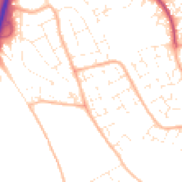
Daytime· 07:00 – 23:00
49.6dB

Night-time· 23:00 – 07:00
39.1dB