12 Brockley Close, Little Stoke, Bristol, BS34 6EZ
About 12 Brockley Close
12 Brockley Close is a semi-detached house in Little Stoke, Bristol, Bristol (BS34 6EZ). It has a recorded floor area of 105 m² (around 1130 sq ft), construction records dating it to 1967-1975 and council tax band C. The latest certificate (August 2021) returns a high B (score 88), putting the home a stone's throw from an A rating. The recommended improvements would push it to A (score 92). Main heating runs on electricity.
At 105 m² the property is well over the postcode median (81 m² across 12 EPCs), placing it in the larger end of the local stock. Its energy rating outperforms most of the postcode (better than 75% of similar EPCs). Today's modelled estimate of £360,000 sits 148.3% above the 2013 sale of £145,000. On a £-per-square-foot basis, the last sale (£128/sq ft) was about 54.7% below the postcode norm. One planning record on file: an extension approved in 2014. Past consents include an extension and partial demolition, meaningful when judging how the property has evolved. 13 years since the last transfer (September 2013).
Everything you need to know about 12 Brockley Close
The true value, the hidden risks and the full sale history, in one report.
Pick your report · every report is £14.99
One time fee only - money back guarantee

The data behind every report


Energy performance
12 Brockley Close's carbon output is low for the local stock.
EPC Rating
Get a survey for this property
Level 3 Building Survey
Because the property has been extended more than once, we believe a Level 3 building survey should be considered.
From £955 · Includes VAT
Planning history
Planning history includes recorded demolition works, indicating a major rebuild phase at this address.
1 application on record at 12 Brockley Close, Little Stoke, Bristol, BS34 6EZ
- Feb 2014DemolitionFullOutcome in report
Extension: Part single, part two storey · Side and rear of property
Demolition of existing side extension and rear conservatory. Erection of two storey side extension, single storey rear extension, single storey front extension and installation of front and rear dormer windows to form additional living accommodation.
Extension- Documents
- 15 docs on file
- Reference
- PT13/4599/F
Unlock 12 Brockley Close, Little Stoke, Bristol, BS34 6EZ's full planning history
You're seeing the shape of it. The report has the substance.
- Every decision — granted, refused or withdrawn (1 on record)
- All 1 application on this property in full, plus 5 notable nearby
- The 15 documents, officer reports & conditions
- What the pattern means for extending or converting here
One time fee only - money back guarantee
Sales history & valuation
12 Brockley Close valuation sits well clear of the typical sold price in this postcode.
£360,000
Modelled from EPC, postcode comparables.
£145,000
Recorded with HM Land Registry.
Sales timeline
26 September 2013Most recent
£145,000
Median price across the last 5 sales in BS34 6EZ: £300,000 (2024–2023).
Nearby sales in BS34 6EZ
19 Brockley Close, Little Stoke, Bristol, BS34 6EZ
Sold Sept 2024
£272,50017 Brockley Close, Little Stoke, Bristol, BS34 6EZ
Sold Nov 2023
£300,0002 Brockley Close, Little Stoke, Bristol, BS34 6EZ
Sold Sept 2023
£295,00014 Brockley Close, Little Stoke, Bristol, BS34 6EZ
Sold Jul 2023
£310,00011 Brockley Close, Little Stoke, Bristol, BS34 6EZ
Sold Mar 2023
£370,000
Versus other Brockley Close homes
CO₂ Emissions for 12 Brockley Close runs comfortably ahead of the street norm.
Price per m²
£1,381
Street avg £3,013
Floor Area
105 m²
Street avg 80 m²
Habitable Rooms
8 rooms
Street avg 5 rooms
CO₂ Emissions
0.5 t/year
Street avg 3.2 t/year
Everything you need to know about 12 Brockley Close
The true value, the hidden risks and the full sale history, in one report.
Pick your report · every report is £14.99
One time fee only - money back guarantee
The data behind every report
Similar properties nearby
1 Brockley Close, Little Stoke
BS34 6EZ
1 Bourton Avenue, Patchway
BS34 6EB
1 Highnam Close, Patchway
BS34 6AB
1 Brookcote Drive, Little Stoke
BS34 6LG
1 Collins Avenue, Little Stoke
BS34 6JZ
1 Filby Drive, Little Stoke
BS34 6EL
1 Farley Close, Little Stoke
BS34 6HB
1 Clanberris Court, Redfield Road, Patchway
BS34 6PJ
The neighbourhood at a glance
Rail-style transport is unusually close for this postcode.
Crime
6/mo
Steady year-on-year across the wider district.
Nearest stop
0.2 km
Farley Close — bus stop.
Closest school
0.6 km
Stoke Lodge Primary School. 21 schools nearby.
Go deeper on the local area
A Local Area report breaks down crime, transport links, schools and air quality in depth.
Road noise across the postcode
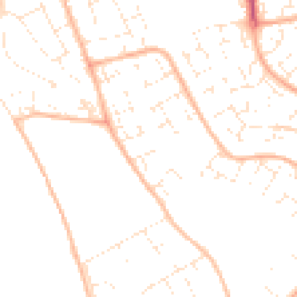
Daytime· 07:00 – 23:00
48.8dB

Night-time· 23:00 – 07:00
37.9dB