12 Ormsley Close, Little Stoke, Bristol, BS34 6EN
About 12 Ormsley Close
12 Ormsley Close is a three-bedroom end-of-terrace house in Little Stoke, Bristol, Bristol (BS34 6EN). It has a recorded floor area of 65 m² (around 700 sq ft), construction records dating it to 1950-1966 and council tax band B. The latest certificate (September 2014) shows a D (score 58), a step below the typical UK home. When first surveyed in March 2014 the rating was E, the property has climbed 1 band since. Between certificates, wall efficiency went from Poor to Good; while lighting dropped from Good to Very Poor. The recommended improvements would lift it to B (score 91), a 2-band jump. The latest certificate is from September 2014, so improvements made since then won't be reflected.
Across 2004–2014, sale prices on this property compounded at 3% per year. Today's modelled estimate of £289,000 sits 69% above the 2014 sale of £171,000. On a £-per-square-foot basis, the last sale (£244/sq ft) was about 18.4% below the postcode norm. Last changed hands 12 years ago, in April 2014.
What this property has
Inside
- Bedrooms3
Outside
- GarageYes
Building
- Central heatingYes
Everything you need to know about 12 Ormsley Close
The true value, the hidden risks and the full sale history, in one report.
Pick your report · every report is £14.99
One time fee only - money back guarantee

The data behind every report


Energy performance
Recommended upgrades on file would lift this property by multiple EPC bands.
EPC Expired
This certificate is over 10 years old and is no longer valid.Expired 22 Sept 2024
EPC Rating
Property Improvements
Changes detected from historical EPC data
Heating controls changed
Cavity wall insulation installed
Low energy lighting percentage decreased
Get a survey for this property
Level 2 HomeBuyer Report
We've checked 10 risk factors against the available data for this property and believe a Level 2 HomeBuyer Report could be a suitable option for you.
From £545 · Includes VAT
Planning history
12 Ormsley Close has no planning applications on record.
But the area is active
5 notable applications nearby — larger schemes and conversions that could reshape the street. The report maps them all.
Sales history & valuation
12 Ormsley Close valuation sits well clear of the typical sold price in this postcode.
£289,000
Modelled from EPC, postcode comparables and a sale-price growth of 3.0% per year over 10 years.
£171,000
Growth on file: 3.0% per year over 10 years.
Sales timeline
24 April 2014Most recent
£171,000
+14.8%over 7 years25 May 2006
£149,000
+17.8%over 2 years26 March 2004
£126,500
Median price across the last 5 sales in BS34 6EN: £287,750 (2025–2021).
Nearby sales in BS34 6EN
21 Ormsley Close, Little Stoke, Bristol, BS34 6EN
Sold Jul 2025
£295,00020 Ormsley Close, Little Stoke, Bristol, BS34 6EN
Sold Mar 2025
£280,00010 Ormsley Close, Little Stoke, Bristol, BS34 6EN
Sold Aug 2024
£287,75036 Ormsley Close, Little Stoke, Bristol, BS34 6EN
Sold Jul 2024
£294,00022 Ormsley Close, Little Stoke, Bristol, BS34 6EN
Sold Sept 2021
£350,000
Versus other Ormsley Close homes
12 Ormsley Close is notably below the street on habitable rooms.
Price per m²
£2,631
Street avg £3,360
Floor Area
65 m²
Street avg 70 m²
Habitable Rooms
4 rooms
Street avg 5 rooms
CO₂ Emissions
3.5 t/year
Street avg 2.9 t/year
Everything you need to know about 12 Ormsley Close
The true value, the hidden risks and the full sale history, in one report.
Pick your report · every report is £14.99
One time fee only - money back guarantee
The data behind every report
Similar properties nearby
1 Farley Close, Little Stoke
BS34 6HB
1 Filby Drive, Little Stoke
BS34 6EL
1 Collins Avenue, Little Stoke
BS34 6JZ
1 Brockley Close, Little Stoke
BS34 6EZ
1 Bourton Avenue, Patchway
BS34 6EB
1 Bibury Avenue, Patchway
BS34 6DE
1 Cranham Drive, Patchway
BS34 6AQ
1 Gallivan Close, Little Stoke
BS34 6RW
The neighbourhood at a glance
Rail-style transport is unusually close for this postcode.
Crime
6/mo
Steady year-on-year across the wider district.
Nearest stop
0.1 km
Wroxham Drive — bus stop.
Closest school
0.3 km
Stoke Lodge Primary School. 20 schools nearby.
Go deeper on the local area
A Local Area report breaks down crime, transport links, schools and air quality in depth.
Road noise across the postcode
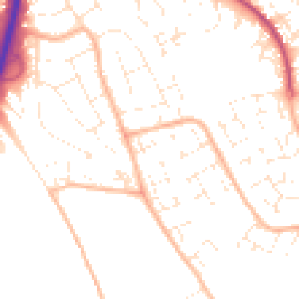
Daytime· 07:00 – 23:00
50.1dB

Night-time· 23:00 – 07:00
39.6dB