3 Burford Avenue, Patchway, Bristol, BS34 6DJ
About 3 Burford Avenue
3 Burford Avenue is a three-bedroom detached house in Patchway, Bristol, Bristol (BS34 6DJ). It has a recorded floor area of 122 m² (around 1313 sq ft), construction records dating it to 1930-1949 and council tax band D. The latest certificate (April 2019) shows a D (score 68), on the cusp of jumping into the C band. The recommended improvements would push it to C (score 78). Other recorded features include a conservatory. Records show the property has been extended at some point in its history. The home occupies a cul-de-sac position.
Across 1995–2020, sale prices on this property compounded at 7.1% per year. Today's modelled estimate of £466,000 is 33.1% above the 2020 sale price. Last sale on file: £350,000 in February 2020.
What this property has
Inside
- Bedrooms3
- Bathrooms2
- Dining roomYes
- CloakroomYes
- ConservatoryYes
Outside
- Private gardenYes
- GarageYes
- Cul-de-sacYes
Building
- Previously extendedYes
Everything you need to know about 3 Burford Avenue
The true value, the hidden risks and the full sale history, in one report.
Pick your report · every report is £14.99
One time fee only - money back guarantee

The data behind every report


Energy performance
EPC Rating
Get a survey for this property
Level 2 HomeBuyer Report
We've checked 10 risk factors against the available data for this property and believe a Level 2 HomeBuyer Report could be a suitable option for you.
From £695 · Includes VAT
Planning history
3 Burford Avenue has no planning applications on record.
But the area is active
5 notable applications nearby — larger schemes and conversions that could reshape the street. The report maps them all.
Sales history & valuation
Price for 3 Burford Avenue has grown more than fourfold since the 1995 starting point.
£466,000
Modelled from EPC, postcode comparables and a sale-price growth of 7.1% per year over 25 years.
£350,000
Growth on file: 7.1% per year over 25 years.
Sales timeline
25 February 2020Most recent
£350,000
+282.5%over 20 years30 March 1999
£91,500
+41.9%over 3 years29 June 1995
£64,500
Median price across the last 4 sales in BS34 6DJ: £104,750 (2002–1995).
Nearby sales in BS34 6DJ
Everything you need to know about 3 Burford Avenue
The true value, the hidden risks and the full sale history, in one report.
Pick your report · every report is £14.99
One time fee only - money back guarantee
The data behind every report
Similar properties nearby
1 Cranham Drive, Patchway
BS34 6AQ
1 Bibury Avenue, Patchway
BS34 6DE
1 Bourton Avenue, Patchway
BS34 6EB
1 Brockley Close, Little Stoke
BS34 6EZ
1 Collins Avenue, Little Stoke
BS34 6JZ
1 Filby Drive, Little Stoke
BS34 6EL
1 Farley Close, Little Stoke
BS34 6HB
1 Clanberris Court, Redfield Road, Patchway
BS34 6PJ
The neighbourhood at a glance
Rail-style transport is unusually close for this postcode.
Crime
6/mo
Steady year-on-year across the wider district.
Nearest stop
0.2 km
Farley Close — bus stop.
Closest school
0.2 km
Holy Family Catholic Primary School. 20 schools nearby.
Go deeper on the local area
A Local Area report breaks down crime, transport links, schools and air quality in depth.
Road noise across the postcode
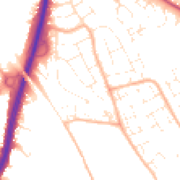
Daytime· 07:00 – 23:00
51.6dB

Night-time· 23:00 – 07:00
41.6dB