9 Arlingham Way, Patchway, Bristol, BS34 5NH
About 9 Arlingham Way
9 Arlingham Way is a mid-terrace house in Patchway, Bristol, Bristol (BS34 5NH). It has a recorded floor area of 77 m² (around 829 sq ft), construction records dating it to 1950-1966 and council tax band B. The latest certificate (June 2009) shows a C (score 75), near the top of the C band. The latest certificate is from June 2009, so improvements made since then won't be reflected.
Its energy rating outperforms most of the postcode (better than 74% of similar EPCs).
Everything you need to know about 9 Arlingham Way
The true value, the hidden risks and the full sale history, in one report.
Pick your report · every report is £14.99
One time fee only - money back guarantee

The data behind every report


Energy performance
9 Arlingham Way's EPC is over a decade old — improvements since won't be reflected.
EPC Expired
This certificate is over 10 years old and is no longer valid.Expired 03 Jun 2019
EPC Rating
Get a survey for this property
Level 2 HomeBuyer Report
We've checked 10 risk factors against the available data for this property and believe a Level 2 HomeBuyer Report could be a suitable option for you.
From £545 · Includes VAT
Planning history
9 Arlingham Way has no planning applications on record.
But the area is active
11 notable applications nearby — larger schemes and conversions that could reshape the street. The report maps them all.
Sales history & valuation
9 Arlingham Way has no Land Registry sales on file, suggesting it has stayed in the same hands since registration began.
£247,000
Modelled from EPC, postcode comparables.
No sales recorded with HM Land Registry
That can mean the property has never traded since the registry began publishing in 1995, was a new build that hasn't been registered yet, or is held in the same hands long-term.
Median price across the last 5 sales in BS34 5NH: £235,000 (2022–2018).
Nearby sales in BS34 5NH
49 Arlingham Way, Patchway, Bristol, BS34 5NH
Sold Dec 2022
£268,00069 Arlingham Way, Patchway, Bristol, BS34 5NH
Sold Nov 2021
£250,00047 Arlingham Way, Patchway, Bristol, BS34 5NH
Sold Jan 2021
£235,00071 Arlingham Way, Patchway, Bristol, BS34 5NH
Sold Oct 2018
£222,00013 Arlingham Way, Patchway, Bristol, BS34 5NH
Sold Sept 2018
£233,000
Versus other Arlingham Way homes
EPC Rating for 9 Arlingham Way runs comfortably ahead of the street norm.
EPC Rating
75 (C)
Street avg 63 (D)
Floor Area
77 m²
Street avg 78 m²
CO₂ Emissions
2.5 t/year
Street avg 3.4 t/year
Habitable Rooms
5 rooms
Street avg 4 rooms
Everything you need to know about 9 Arlingham Way
The true value, the hidden risks and the full sale history, in one report.
Pick your report · every report is £14.99
One time fee only - money back guarantee
The data behind every report
Similar properties nearby
1 Cedar Close, Patchway
BS34 5HD
1 Arlingham Way, Patchway
BS34 5NH
1 Brick Hill Way, Patchway
BS34 5UY
1 Cross Field, Patchway
BS34 5GU
1 Ashford Road, Patchway
BS34 5DX
1 Birch Close, Patchway
BS34 5SB
1 Bay Tree Close, Patchway
BS34 5EU
1 Borkley Street, Patchway
BS34 5DB
The neighbourhood at a glance
Crime
6/mo
Steady year-on-year across the wider district.
Nearest stop
0.1 km
Durban Road — bus stop.
Closest school
0.3 km
Coniston Primary School. 16 schools nearby.
Go deeper on the local area
A Local Area report breaks down crime, transport links, schools and air quality in depth.
Road noise across the postcode
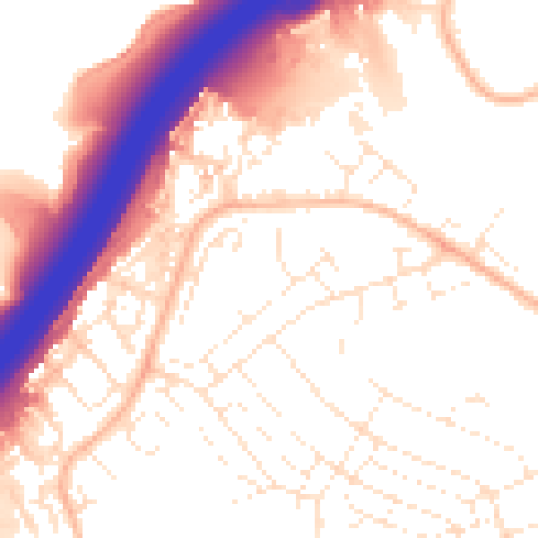
Daytime· 07:00 – 23:00
55.0dB

Night-time· 23:00 – 07:00
45.4dB