25 Arlingham Way, Patchway, Bristol, BS34 5NH
About 25 Arlingham Way
25 Arlingham Way is an end-of-terrace house in Patchway, Bristol, Bristol (BS34 5NH). It has a recorded floor area of 62 m² (around 667 sq ft), construction records dating it to 1950-1966 and council tax band B. The latest certificate (April 2014) shows an E (score 47), well below the UK norm with real room to improve. The recommended improvements would lift it to C (score 75), a 2-band jump. The latest certificate is from April 2014, so improvements made since then won't be reflected.
Across 1997–2014, sale prices on this property compounded at 8.2% per year. Today's modelled estimate of £254,000 sits 69.3% above the 2014 sale of £150,000. On a £-per-square-foot basis, the last sale (£225/sq ft) was about 53.7% above the typical sold price in the postcode. At 62 m² it's 19.5% smaller than the typical home in the postcode (77 m² median across 23 EPCs). It lags the bulk of the postcode on energy efficiency (less efficient than 87% of similar EPCs). On the market in September 2014 and unlisted since — roughly 12 years.
Everything you need to know about 25 Arlingham Way
The true value, the hidden risks and the full sale history, in one report.
Pick your report · every report is £14.99
One time fee only - money back guarantee

The data behind every report


Energy performance
Recommended upgrades on file would lift this property by multiple EPC bands.
EPC Expired
This certificate is over 10 years old and is no longer valid.Expired 10 Apr 2024
EPC Rating
Get a survey for this property
Level 2 HomeBuyer Report
We've checked 10 risk factors against the available data for this property and believe a Level 2 HomeBuyer Report could be a suitable option for you.
From £545 · Includes VAT
Planning history
25 Arlingham Way has no planning applications on record.
But the area is active
11 notable applications nearby — larger schemes and conversions that could reshape the street. The report maps them all.
Sales history & valuation
25 Arlingham Way has more than tripled in price since its earliest registered sale in 1997.
£254,000
Modelled from EPC, postcode comparables and a sale-price growth of 8.2% per year over 17 years.
£150,000
Growth on file: 8.2% per year over 17 years.
Sales timeline
8 September 2014Most recent
£150,000
+134.4%over 13 years26 April 2001
£64,000
+69.5%over 4 years14 March 1997
£37,750
Median price across the last 5 sales in BS34 5NH: £235,000 (2022–2018).
Nearby sales in BS34 5NH
49 Arlingham Way, Patchway, Bristol, BS34 5NH
Sold Dec 2022
£268,00069 Arlingham Way, Patchway, Bristol, BS34 5NH
Sold Nov 2021
£250,00047 Arlingham Way, Patchway, Bristol, BS34 5NH
Sold Jan 2021
£235,00071 Arlingham Way, Patchway, Bristol, BS34 5NH
Sold Oct 2018
£222,00013 Arlingham Way, Patchway, Bristol, BS34 5NH
Sold Sept 2018
£233,000
Versus other Arlingham Way homes
EPC Rating for 25 Arlingham Way lags the street by a wide margin.
Price per m²
£2,419
Street avg £2,237
Floor Area
62 m²
Street avg 79 m²
Habitable Rooms
5 rooms
Street avg 4 rooms
CO₂ Emissions
4.1 t/year
Street avg 3.3 t/year
Everything you need to know about 25 Arlingham Way
The true value, the hidden risks and the full sale history, in one report.
Pick your report · every report is £14.99
One time fee only - money back guarantee
The data behind every report
Similar properties nearby
1 Cedar Close, Patchway
BS34 5HD
1 Brick Hill Way, Patchway
BS34 5UY
1 Arlingham Way, Patchway
BS34 5NH
1 Ashford Road, Patchway
BS34 5DX
1 Cross Field, Patchway
BS34 5GU
1 Birch Close, Patchway
BS34 5SB
1 Bay Tree Close, Patchway
BS34 5EU
1 Borkley Street, Patchway
BS34 5DB
The neighbourhood at a glance
Crime
6/mo
Steady year-on-year across the wider district.
Nearest stop
0.1 km
Durban Road — bus stop.
Closest school
0.3 km
Coniston Primary School. 16 schools nearby.
Go deeper on the local area
A Local Area report breaks down crime, transport links, schools and air quality in depth.
Road noise across the postcode
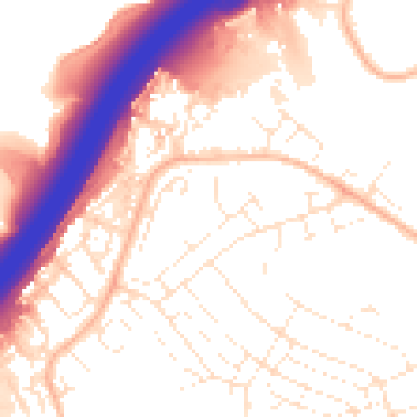
Daytime· 07:00 – 23:00
55.0dB

Night-time· 23:00 – 07:00
45.4dB