27 Bradley Road, Patchway, Bristol, BS34 5LF
About 27 Bradley Road
27 Bradley Road is a property in Patchway, Bristol, Bristol (BS34 5LF). It has council tax band B.
Held since December 1996 — that's 29 years off the open market, well above the local norm. Only one transfer is on record with HM Land Registry, suggesting it has stayed in the same hands for a long time.
Everything you need to know about 27 Bradley Road
The true value, the hidden risks and the full sale history, in one report.
Pick your report · every report is £14.99
One time fee only - money back guarantee

The data behind every report


Energy performance
No EPC on record
This property doesn't have an Energy Performance Certificate yet. An EPC is required to sell or let — and unlocks our automated valuation.
Get a survey for this property
Level 2 HomeBuyer Report
We've checked 10 risk factors against the available data for this property and believe a Level 2 HomeBuyer Report could be a suitable option for you.
Planning history
27 Bradley Road has no planning applications on record.
But the area is active
11 notable applications nearby — larger schemes and conversions that could reshape the street. The report maps them all.
Sales history & valuation
Latest sale on 27 Bradley Road was the lowest on Land Registry record across the postcode.
£36,500
Recorded with HM Land Registry.
Sales timeline
6 December 1996Most recent
£36,500
Median price across the last 5 sales in BS34 5LF: £250,000 (2023–2018).
Nearby sales in BS34 5LF
19 Bradley Road, Patchway, Bristol, BS34 5LF
Sold Dec 2023
£265,00015 Bradley Road, Patchway, Bristol, BS34 5LF
Sold Nov 2021
£250,00011 Bradley Road, Patchway, Bristol, BS34 5LF
Sold Jul 2018
£150,00021 Bradley Road, Patchway, Bristol, BS34 5LF
Sold May 2018
£200,00039 Bradley Road, Patchway, Bristol, BS34 5LF
Sold Mar 2016
£200,000
Everything you need to know about 27 Bradley Road
The true value, the hidden risks and the full sale history, in one report.
Pick your report · every report is £14.99
One time fee only - money back guarantee
The data behind every report
Similar properties nearby
1 Arlingham Way, Patchway
BS34 5NH
1 Ashford Road, Patchway
BS34 5DX
1 Ashley House, Elmore Road, Patchway
BS34 5NU
1 Bay Tree Close, Patchway
BS34 5EU
1 Beck House, Derwent Close, Patchway
BS34 5JD
1 Bevington Close, Patchway
BS34 5NN
1 Bevington Walk, Patchway
BS34 5NY
1 Birch Close, Patchway
BS34 5SB
The neighbourhood at a glance
Crime
6/mo
Steady year-on-year across the wider district.
Nearest stop
0.1 km
Bradley Road — bus stop.
Closest school
0.4 km
Coniston Primary School. 17 schools nearby.
Go deeper on the local area
A Local Area report breaks down crime, transport links, schools and air quality in depth.
Road noise across the postcode
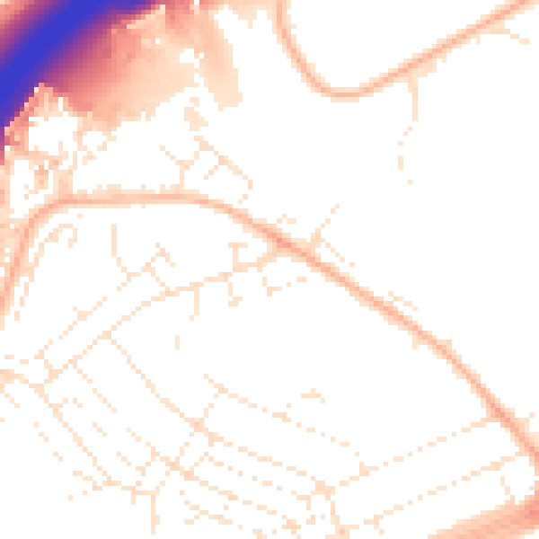
Daytime· 07:00 – 23:00
51.7dB

Night-time· 23:00 – 07:00
41.9dB