19 Bradley Road, Patchway, Bristol, BS34 5LF
About 19 Bradley Road
19 Bradley Road is a mid-terrace house in Patchway, Bristol, Bristol (BS34 5LF). It has a recorded floor area of 64 m² (around 689 sq ft), construction records dating it to 1950-1966 and council tax band B. The latest certificate (July 2023) shows a D (score 66), on the cusp of jumping into the C band. The recommended improvements would lift it to B (score 81), a 2-band jump.
It lags the bulk of the postcode on energy efficiency (less efficient than 75% of similar EPCs). Across 2010–2023, sale prices on this property compounded at 5.9% per year. On a £-per-square-foot basis, the last sale (£385/sq ft) was about 99.5% above the typical sold price in the postcode. Most recent transfer: December 2023 at £265,000.
Everything you need to know about 19 Bradley Road
The true value, the hidden risks and the full sale history, in one report.
Pick your report · every report is £14.99
One time fee only - money back guarantee

The data behind every report


Energy performance
Recommended upgrades on file would lift this property by multiple EPC bands.
EPC Rating
Get a survey for this property
Level 2 HomeBuyer Report
We've checked 10 risk factors against the available data for this property and believe a Level 2 HomeBuyer Report could be a suitable option for you.
From £545 · Includes VAT
Planning history
19 Bradley Road has no planning applications on record.
But the area is active
11 notable applications nearby — larger schemes and conversions that could reshape the street. The report maps them all.
Sales history & valuation
Latest sale on 19 Bradley Road was the highest on Land Registry record across the postcode.
£281,000
Modelled from EPC, postcode comparables and a sale-price growth of 5.9% per year over 13 years.
£265,000
Growth on file: 5.9% per year over 13 years.
Sales timeline
15 December 2023Most recent
£265,000
-3.6%17 August 2023
£275,000
+120.0%over 12 years12 November 2010
£125,000
Median price across the last 5 sales in BS34 5LF: £200,000 (2021–2010).
Nearby sales in BS34 5LF
15 Bradley Road, Patchway, Bristol, BS34 5LF
Sold Nov 2021
£250,00011 Bradley Road, Patchway, Bristol, BS34 5LF
Sold Jul 2018
£150,00021 Bradley Road, Patchway, Bristol, BS34 5LF
Sold May 2018
£200,00039 Bradley Road, Patchway, Bristol, BS34 5LF
Sold Mar 2016
£200,0003 Bradley Road, Patchway, Bristol, BS34 5LF
Sold Mar 2007
£114,500
Versus other Bradley Road homes
On price per m², 19 Bradley Road stands well clear of the street.
Price per m²
£4,141
Street avg £1,924
Floor Area
64 m²
Street avg 80 m²
Habitable Rooms
5 rooms
Street avg 5 rooms
CO₂ Emissions
2.8 t/year
Street avg 3.1 t/year
Everything you need to know about 19 Bradley Road
The true value, the hidden risks and the full sale history, in one report.
Pick your report · every report is £14.99
One time fee only - money back guarantee
The data behind every report
Similar properties nearby
1 Ashford Road, Patchway
BS34 5DX
1 Birch Close, Patchway
BS34 5SB
1 Bay Tree Close, Patchway
BS34 5EU
1 Brick Hill Way, Patchway
BS34 5UY
1 Cedar Close, Patchway
BS34 5HD
1 Donns Close, Patchway
BS34 5JW
1 Eagle Drive, Patchway
BS34 5RJ
1 Arlingham Way, Patchway
BS34 5NH
The neighbourhood at a glance
Crime
6/mo
Steady year-on-year across the wider district.
Nearest stop
0.1 km
Bradley Road — bus stop.
Closest school
0.4 km
Coniston Primary School. 17 schools nearby.
Go deeper on the local area
A Local Area report breaks down crime, transport links, schools and air quality in depth.
Road noise across the postcode
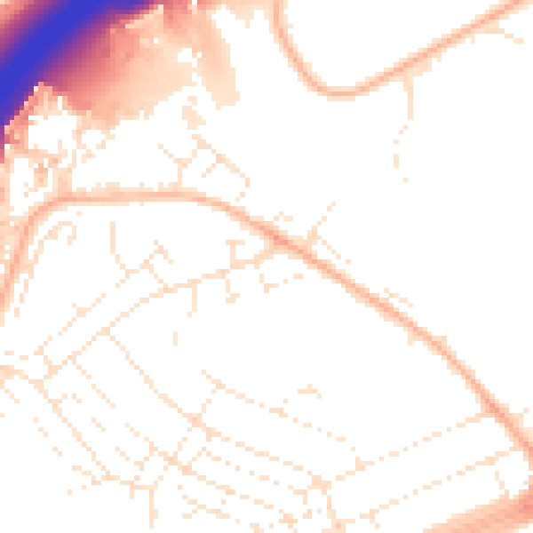
Daytime· 07:00 – 23:00
51.7dB

Night-time· 23:00 – 07:00
41.9dB