39 Skinners Croft, Patchway, Bristol, BS34 5AX
About 39 Skinners Croft
39 Skinners Croft is a detached house in Patchway, Bristol, Bristol (BS34 5AX). It has a recorded floor area of 64 m² (around 689 sq ft) and construction records dating it to 2012 onwards. At 64 m² this is the 18th smallest of 52 units on EPC record in the building, where floor areas span 57–132 m². The building's EPC ratings span C to B, with this unit at the bottom. The latest certificate (April 2024) shows a C (score 80), near the top of the C band. Earlier certificates rated it B (April 2013); the latest reading is one band lower. Between certificates, window efficiency dropped from Very Good to Good.
At 64 m² it's 16.9% smaller than the typical home in the postcode (77 m² median across 51 EPCs). It lags the bulk of the postcode on energy efficiency (less efficient than 71% of similar EPCs). Across 2014–2024, sale prices on this property compounded at 3.8% per year. Today's modelled estimate of £121,000 is 34.4% above the 2024 sale price. On a £-per-square-foot basis, the last sale (£131/sq ft) was about 46.2% below the postcode norm. Most recent transfer: August 2024 at £90,000.
Everything you need to know about 39 Skinners Croft
The true value, the hidden risks and the full sale history, in one report.
Pick your report · every report is £14.99
One time fee only - money back guarantee

The data behind every report


Energy performance
39 Skinners Croft's carbon output is low for the local stock.
EPC Rating
Property Improvements
Changes detected from historical EPC data
Floor insulation added or improved
Get a survey for this property
Level 2 HomeBuyer Report
We've checked 10 risk factors against the available data for this property and believe a Level 2 HomeBuyer Report could be a suitable option for you.
From £495 · Includes VAT
Planning history
39 Skinners Croft has no planning applications on record.
But the area is active
11 notable applications nearby — larger schemes and conversions that could reshape the street. The report maps them all.
Sales history & valuation
39 Skinners Croft saw 3 transfers in just over a decade — high turnover for the postcode.
£121,000
Modelled from EPC, postcode comparables and a sale-price growth of 3.8% per year over 10 years.
£90,000
Growth on file: 3.8% per year over 10 years.
Sales timeline
18 August 2024Most recent
£90,000
+10.8%over 2 years9 December 2021
£81,200
+30.1%over 7 years9 October 2014
£62,400
Median price across the last 5 sales in BS34 5AX: £338,000 (2025–2023).
Nearby sales in BS34 5AX
65 Skinners Croft, Patchway, Bristol, BS34 5AX
Sold May 2025
£338,0007 Skinners Croft, Patchway, Bristol, BS34 5AX
Sold Mar 2025
£310,00059 Skinners Croft, Patchway, Bristol, BS34 5AX
Sold Nov 2024
£275,00027 Skinners Croft, Patchway, Bristol, BS34 5AX
Sold Jun 2024
£397,00062 Skinners Croft, Patchway, Bristol, BS34 5AX
Sold Nov 2023
£350,000
Versus other Skinners Croft homes
39 Skinners Croft outperforms the street on price per m² by a wide margin.
Price per m²
£1,406
Street avg £1,315
Floor Area
64 m²
Street avg 61 m²
CO₂ Emissions
1.3 t/year
Street avg 1.0 t/year
Years Held
2 years
Street avg 6 years
Everything you need to know about 39 Skinners Croft
The true value, the hidden risks and the full sale history, in one report.
Pick your report · every report is £14.99
One time fee only - money back guarantee
The data behind every report
Similar properties nearby
1 Coleridge House, Coniston Road, Patchway
BS34 5QH
1 Beck House, Derwent Close, Patchway
BS34 5JD
1 Ashley House, Elmore Road, Patchway
BS34 5NU
1 Charlton Court, Coniston Road, Patchway
BS34 5LJ
1 Cranbourne Road, Patchway
BS34 5EA
1 Borkley Street, Patchway
BS34 5DB
1 Cross Field, Patchway
BS34 5GU
1 Arlingham Way, Patchway
BS34 5NH
The neighbourhood at a glance
Rail-style transport is unusually close for this postcode.
Crime
6/mo
Steady year-on-year across the wider district.
Nearest stop
0.1 km
Callicroft Road — bus stop.
Closest school
0.4 km
Charlton Wood Primary Academy. 23 schools nearby.
Go deeper on the local area
A Local Area report breaks down crime, transport links, schools and air quality in depth.
Road noise across the postcode
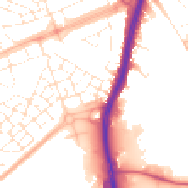
Daytime· 07:00 – 23:00
53.0dB

Night-time· 23:00 – 07:00
43.3dB