1 Gwilliam Street, Bristol, BS3 4LT
About 1 Gwilliam Street
1 Gwilliam Street is a three-bedroom mid-terrace house in Bristol (BS3 4LT). It has a recorded floor area of 97 m² (around 1044 sq ft), construction records dating it to before 1900 and council tax band B. The latest certificate (June 2020) shows a D (score 61), on the cusp of jumping into the C band. The recommended improvements would push it to C (score 80).
Across 1996–2022, sale prices on this property compounded at 9.5% per year. Today's modelled estimate of £476,000 is 13.3% above the 2022 sale price. On a £-per-square-foot basis, the last sale (£402/sq ft) was about 152.8% above the typical sold price in the postcode. Sold August 2022 for £420,000. That sale was during the post-pandemic price surge, when transactions cleared materially above pre-2020 trend.
What this property has
Inside
- Bedrooms3
- Bathrooms1
Outside
- Private gardenYes
Building
- Heating systemGas
- RefurbishedYes
Everything you need to know about 1 Gwilliam Street
The true value, the hidden risks and the full sale history, in one report.
Pick your report · every report is £14.99
One time fee only - money back guarantee

The data behind every report


Energy performance
EPC Rating
Get a survey for this property
Level 3 Building Survey
Because the property was built before 1919 and has solid (non-cavity) walls, we believe a Level 3 building survey should be considered.
From £1,020 · Includes VAT
Planning history
1 Gwilliam Street has no planning applications on record.
But the area is active
20 notable applications nearby — larger schemes and conversions that could reshape the street. The report maps them all.
Sales history & valuation
1 Gwilliam Street has more than quadrupled in price since its earliest registered sale in 1996.
£476,000
Modelled from EPC, postcode comparables and a sale-price growth of 9.5% per year over 26 years.
£420,000
Growth on file: 9.5% per year over 26 years.
Sales timeline
25 August 2022Most recent
£420,000
+10.5%over 1 year6 November 2020
£380,000
+826.8%over 23 years6 December 1996
£41,000
Median price across the last 5 sales in BS3 4LT: £450,000 (2025–2024).
Nearby sales in BS3 4LT
Versus other Gwilliam Street homes
1 Gwilliam Street is notably below the street on epc rating.
Price per m²
£4,330
Street avg £3,355
Floor Area
97 m²
Street avg 105 m²
Habitable Rooms
5 rooms
Street avg 5 rooms
CO₂ Emissions
4.4 t/year
Street avg 3.8 t/year
Everything you need to know about 1 Gwilliam Street
The true value, the hidden risks and the full sale history, in one report.
Pick your report · every report is £14.99
One time fee only - money back guarantee
The data behind every report
Similar properties nearby
1 Granby Mews
BS3 4BF
1 Newport Street
BS3 4ST
1 Fraser Street
BS3 4LZ
1 Cotswold Road
BS3 4NX
1 Lambourn Close
BS3 4LX
1 Merioneth Street
BS3 4SL
1 Kensal Avenue
BS3 4QY
1 Maidstone Street
BS3 4SW
The neighbourhood at a glance
Rail-style transport is unusually close for this postcode.
Crime
4/mo
Rising year-on-year across the wider district.
Nearest stop
0.1 km
Bedminster Rail Station — railway station.
Closest school
0.4 km
St Mary Redcliffe Church of England Primary School. 42 schools nearby.
Go deeper on the local area
A Local Area report breaks down crime, transport links, schools and air quality in depth.
Road noise across the postcode
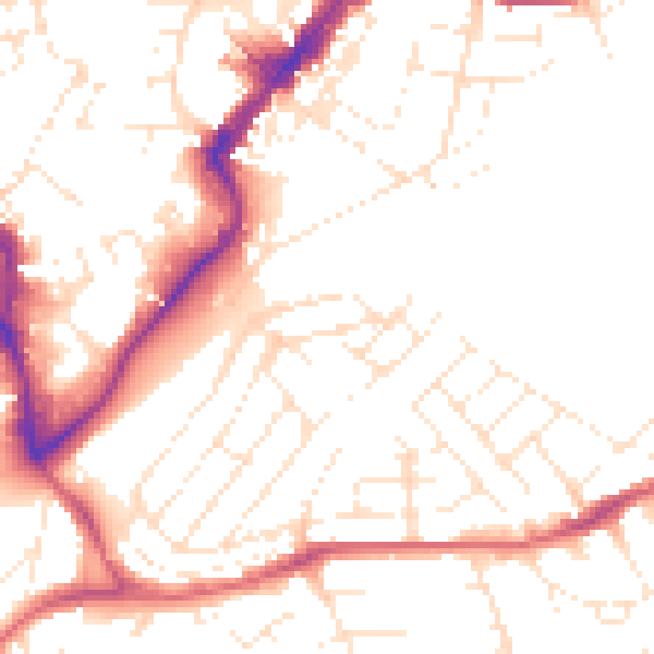
Daytime· 07:00 – 23:00
51.7dB
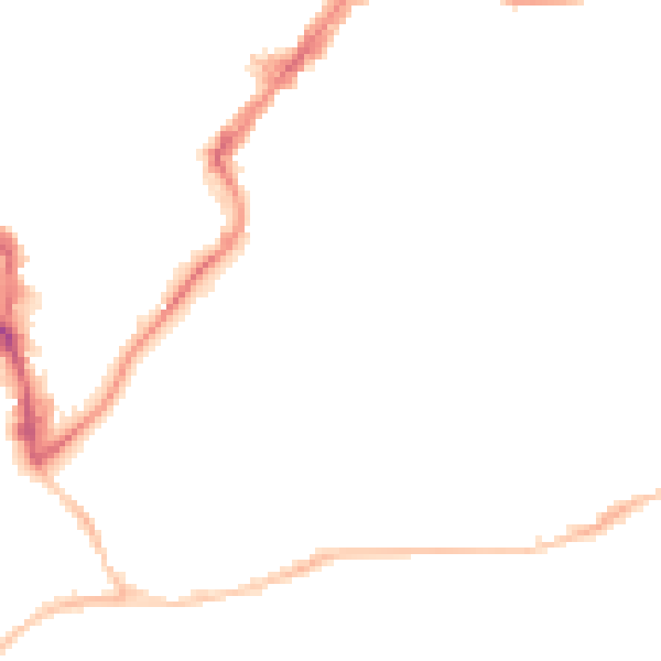
Night-time· 23:00 – 07:00
41.6dB