6 Marsh Lane, Ashton, Bristol, BS3 2NR
About 6 Marsh Lane
6 Marsh Lane is a mid-terrace house in Ashton, Bristol, Bristol (BS3 2NR). It has a recorded floor area of 53 m² (around 570 sq ft) and construction records dating it to 1900-1929. At 53 m² this is the smallest unit on EPC record across the building (53–77 m²). The building's EPC ratings span D to C, with this unit at the top. The latest certificate (September 2022) shows a C (score 71). When first surveyed in April 2012 the rating was D, the property has climbed 1 band since. Between certificates, window efficiency went from Average to Good.
Everything you need to know about 6 Marsh Lane
The true value, the hidden risks and the full sale history, in one report.
Pick your report · every report is £14.99
One time fee only - money back guarantee

The data behind every report


Energy performance
EPC Rating
Property Improvements
Changes detected from historical EPC data
Heating controls changed
Hot water system changed
Heating controls upgraded for better temperature management
Hot water system upgraded
Heating controls changed
Window efficiency improved
Get a survey for this property
Level 3 Building Survey
Because the property was built before 1919, has been extended more than once, and has solid (non-cavity) walls, we believe a Level 3 building survey should be considered.
From £885 · Includes VAT
Planning history
6 Marsh Lane has no planning applications on record.
But the area is active
4 notable applications nearby — larger schemes and conversions that could reshape the street. The report maps them all.
Sales history & valuation
6 Marsh Lane has no Land Registry sales on file, suggesting it has stayed in the same hands since registration began.
£242,000
Modelled from EPC, postcode comparables.
No sales recorded with HM Land Registry
That can mean the property has never traded since the registry began publishing in 1995, was a new build that hasn't been registered yet, or is held in the same hands long-term.
Median price across the last 3 sales in BS3 2NR: £130,000 (2012–2010).
Nearby sales in BS3 2NR
Everything you need to know about 6 Marsh Lane
The true value, the hidden risks and the full sale history, in one report.
Pick your report · every report is £14.99
One time fee only - money back guarantee
The data behind every report
Similar properties nearby
1 Dufty Buildings, South Liberty Lane
BS3 2SQ
1 Buttercup Walk
BS3 2TZ
1 Alma Cottages, South Liberty Lane
BS3 2SL
1 Alma Place, South Liberty Lane
BS3 2BQ
1 Avebury Road
BS3 2QQ
1 Balfour Road
BS3 2AF
1 Bower Court, Bower Road
BS3 2LH
1 Breach Road
BS3 2BD
The neighbourhood at a glance
Rail-style transport is unusually close for this postcode.
Crime
4/mo
Rising year-on-year across the wider district.
Nearest stop
0.0 km
Marsh Lane — bus stop.
Closest school
0.4 km
Luckwell Primary School. 34 schools nearby.
Go deeper on the local area
A Local Area report breaks down crime, transport links, schools and air quality in depth.
Road noise across the postcode
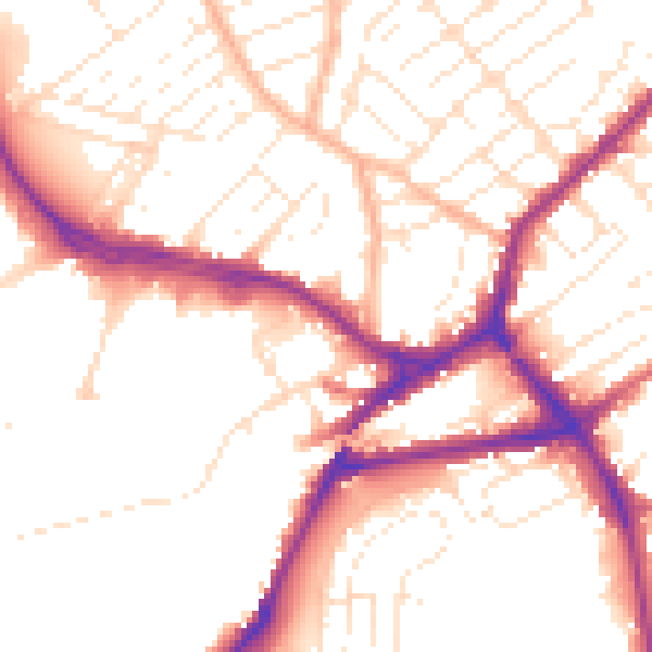
Daytime· 07:00 – 23:00
52.9dB

Night-time· 23:00 – 07:00
43.7dB