14 Heywood Terrace, Pill, Bristol, BS20 0EA
About 14 Heywood Terrace
14 Heywood Terrace is a three-bedroom property in Pill, Bristol, Bristol (BS20 0EA). It has council tax band C.
It hasn't traded since November 2002, a hold of 24 years that's notably long for the area.
Know exactly what you're buying at 14 Heywood Terrace
Before you offer, see what the listing won't tell you, the true value, the red flags and the full history.
Valuation
against the asking price
Risks
planning & flood
Sold prices
similar homes nearby
Trends
the local market
What this property has
Inside
- Bedrooms3
Energy performance
No EPC on record
This property doesn't have an Energy Performance Certificate yet. An EPC is required to sell or let — and unlocks our automated valuation.
Planning history
14 Heywood Terrace has no planning applications on record.
The full report still covers planning activity across the surrounding area.
Sales history & valuation
£137,450
Recorded with HM Land Registry.
Sales timeline
29 November 2002Most recent
£137,450
Median price across the last 5 sales in BS20 0EA: £315,000 (2025–2021).
Nearby sales in BS20 0EA
9 Heywood Terrace, Pill, Bristol, BS20 0EA
Sold Mar 2025
£320,00022 Heywood Terrace, Pill, Bristol, BS20 0EA
Sold Nov 2023
£290,0008 Heywood Terrace, Pill, Bristol, BS20 0EA
Sold Jun 2023
£270,00015 Heywood Terrace, Pill, Bristol, BS20 0EA
Sold Dec 2022
£315,00024 Heywood Terrace, Pill, Bristol, BS20 0EA
Sold Jun 2021
£350,000
Everything we know about 14 Heywood Terrace, in one report
What it's really worth, what could be wrong, and the planning, sales and area data in full.
- Am I paying too much?
- Is something wrong with it?
- Is the agent's story true?
- Will it hold its value?

Similar properties nearby
1 Hardwick Road, Pill
BS20 0DG
1 Back Lane, Pill
BS20 0AX
1 Beechwood Road, Easton In Gordano
BS20 0NA
1 Ham Green, Pill
BS20 0EY
1 Haberfield Cottages, Happerton Lane, Easton In Gordano
BS20 0QW
1 Eirene Terrace, Pill
BS20 0ET
1 Anchor Way, Pill
BS20 0JY
1 Easton Road, Pill
BS20 0DT
The neighbourhood at a glance
Rail-style transport is unusually close for this postcode.
Crime
5/mo
Steady year-on-year across the wider district.
Nearest stop
0.1 km
Station Road — bus stop.
Closest school
0.4 km
Crockerne Church of England Primary School. 11 schools nearby.
Go deeper on the local area
The full report breaks down crime, transport links, schools and air quality in depth.
Road noise across the postcode
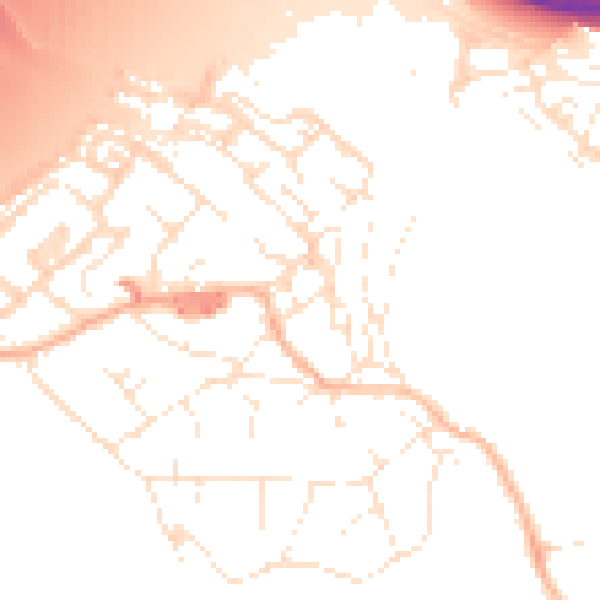
Daytime· 07:00 – 23:00
51.9dB

Night-time· 23:00 – 07:00
42.5dB