16 Springfield Road, Pill, Bristol, BS20 0DP
About 16 Springfield Road
16 Springfield Road is a three-bedroom semi-detached house in Pill, Bristol, Bristol (BS20 0DP). It has a recorded floor area of 113 m² (around 1216 sq ft), construction records dating it to before 1900 and council tax band C. The latest certificate (April 2023) shows a D (score 55), a step below the typical UK home. The recommended improvements would lift it to B (score 82), a 2-band jump. Period features are noted in the property record.
It hasn't traded since December 2007, a hold of 18 years that's notably long for the area. Across the public record there are 5 sales, relatively high churn for a single property. That sale landed at the peak of the pre-credit-crunch market, which is a useful reference point when interpreting the price. Across 1995–2007, sale prices on this property compounded at 13.8% per year. Today's modelled estimate of £409,000 is 44.8% above the 2007 sale price. On a £-per-square-foot basis, the last sale (£232/sq ft) was about 41.3% above the typical sold price in the postcode.
Know exactly what you're buying at 16 Springfield Road
Before you offer, see what the listing won't tell you, the true value, the red flags and the full history.
Valuation
against the asking price
Risks
planning & flood
Sold prices
similar homes nearby
Trends
the local market
What this property has
Inside
- Bedrooms3
- Bathrooms2
Outside
- Private gardenRear
Building
- Period featuresYes
Energy performance
16 Springfield Road's carbon output runs well above what efficient homes in the postcode produce.
EPC Rating
Planning history
16 Springfield Road has no planning applications on record.
The full report still covers planning activity across the surrounding area.
Sales history & valuation
Price for 16 Springfield Road has grown more than fourfold since the 1995 starting point.
£409,000
Modelled from EPC, postcode comparables and a sale-price growth of 13.8% per year over 13 years.
£282,500
Growth on file: 13.8% per year over 13 years.
Sales timeline
7 December 2007Most recent
£282,500
+78.2%over 5 years20 March 2002
£158,500
+88.8%over 2 years24 August 1999
£83,950
+44.7%over 2 years5 May 1997
£58,000
+5.5%over 2 years3 April 1995
£55,000
Median price across the last 5 sales in BS20 0DP: £280,000 (2024–2018).
Nearby sales in BS20 0DP
10 Springfield Road, Pill, Bristol, BS20 0DP
Sold Apr 2024
£310,00012 Springfield Road, Pill, Bristol, BS20 0DP
Sold Nov 2023
£350,0008 Springfield Road, Pill, Bristol, BS20 0DP
Sold Jun 2022
£280,00011 Springfield Road, Pill, Bristol, BS20 0DP
Sold Jun 2021
£256,5007 Springfield Road, Pill, Bristol, BS20 0DP
Sold Oct 2018
£270,000
Everything we know about 16 Springfield Road, in one report
What it's really worth, what could be wrong, and the planning, sales and area data in full.
- Am I paying too much?
- Is something wrong with it?
- Is the agent's story true?
- Will it hold its value?

Versus other Springfield Road homes
16 Springfield Road outperforms the street on floor area by a wide margin.
Price per m²
£2,500
Street avg £2,346
Floor Area
113 m²
Street avg 110 m²
Habitable Rooms
6 rooms
Street avg 5 rooms
CO₂ Emissions
6.0 t/year
Street avg 5.0 t/year
Similar properties nearby
1 Ham Green, Pill
BS20 0EY
1 Beechwood Road, Easton In Gordano
BS20 0NA
1 Hardwick Road, Pill
BS20 0DG
1 Haberfield Cottages, Happerton Lane, Easton In Gordano
BS20 0QW
1 Back Lane, Pill
BS20 0AX
1 Anchor Way, Pill
BS20 0JY
1 Easton Road, Pill
BS20 0DT
1 Court Hay, Easton In Gordano
BS20 0PY
The neighbourhood at a glance
Rail-style transport is unusually close for this postcode.
Crime
5/mo
Steady year-on-year across the wider district.
Nearest stop
0.1 km
Station Road — bus stop.
Closest school
0.3 km
Crockerne Church of England Primary School. 11 schools nearby.
Go deeper on the local area
The full report breaks down crime, transport links, schools and air quality in depth.
Road noise across the postcode
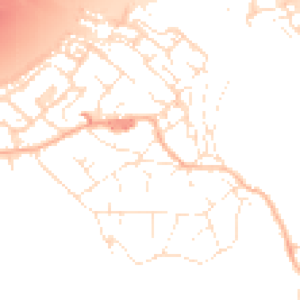
Daytime· 07:00 – 23:00
51.4dB

Night-time· 23:00 – 07:00
41.9dB