13 Monmouth Road, Pill, Bristol, BS20 0AY
About 13 Monmouth Road
13 Monmouth Road is a three-bedroom detached house in Pill, Bristol, Bristol (BS20 0AY). It has a recorded floor area of 164 m² (around 1765 sq ft), construction records dating it to 1900-1929 and council tax band D. The latest certificate (August 2022) shows an E (score 41), well below the UK norm with real room to improve. When first surveyed in November 2011 the rating was F, the property has climbed 1 band since. Between certificates, window efficiency went from Poor to Good and lighting went from Average to Very Good. The recommended improvements would lift it to C (score 76), a 2-band jump.
Across 2017–2022, sale prices on this property compounded at 8.4% per year. On a £-per-square-foot basis, the last sale (£280/sq ft) was about 92% above the typical sold price in the postcode. Sold September 2022 for £495,000. That sale was during the post-pandemic price surge, when transactions cleared materially above pre-2020 trend.
Know exactly what you're buying at 13 Monmouth Road
Before you offer, see what the listing won't tell you, the true value, the red flags and the full history.
Valuation
against the asking price
Risks
planning & flood
Sold prices
similar homes nearby
Trends
the local market
What this property has
Inside
- Bedrooms3
- Bathrooms3
Energy performance
13 Monmouth Road's carbon output runs well above what efficient homes in the postcode produce.
EPC Rating
Property Improvements
Changes detected from historical EPC data
Glazing upgraded to newer, more efficient type
Windows upgraded, improving insulation
More low energy lighting installed
Planning history
13 Monmouth Road has no planning applications on record.
The full report still covers planning activity across the surrounding area.
Sales history & valuation
Latest sale on 13 Monmouth Road was the highest on Land Registry record across the postcode.
£508,000
Modelled from EPC, postcode comparables and a sale-price growth of 8.4% per year over 5 years.
£495,000
Growth on file: 8.4% per year over 5 years.
Sales timeline
14 September 2022Most recent
£495,000
+24.7%over 3 years28 March 2019
£397,000
+24.1%over 1 year12 April 2017
£320,000
Median price across the last 5 sales in BS20 0AY: £325,000 (2021–2010).
Nearby sales in BS20 0AY
10 Monmouth Road, Pill, Bristol, BS20 0AY
Sold Sept 2021
£490,0007 Monmouth Road, Pill, Bristol, BS20 0AY
Sold Dec 2015
£325,00012 Monmouth Road, Pill, Bristol, BS20 0AY
Sold Oct 2015
£345,0003 Monmouth Road, Pill, Bristol, BS20 0AY
Sold Dec 2014
£280,00011 Monmouth Road, Pill, Bristol, BS20 0AY
Sold Jul 2010
£273,000
Everything we know about 13 Monmouth Road, in one report
What it's really worth, what could be wrong, and the planning, sales and area data in full.
- Am I paying too much?
- Is something wrong with it?
- Is the agent's story true?
- Will it hold its value?

Versus other Monmouth Road homes
Years Held for 13 Monmouth Road lags the street by a wide margin.
Price per m²
£3,018
Street avg £2,201
Floor Area
164 m²
Street avg 148 m²
Habitable Rooms
6 rooms
Street avg 7 rooms
CO₂ Emissions
11.0 t/year
Street avg 7.7 t/year
Similar properties nearby
1 Haberfield Cottages, Happerton Lane, Easton In Gordano
BS20 0QW
1 Ham Green, Pill
BS20 0EY
1 Beechwood Road, Easton In Gordano
BS20 0NA
1 Hardwick Road, Pill
BS20 0DG
1 Court Hay, Easton In Gordano
BS20 0PY
1 Fitzharding Road, Pill
BS20 0EH
1 Back Lane, Pill
BS20 0AX
1 Hart Close, Pill
BS20 0BY
The neighbourhood at a glance
Rail-style transport is unusually close for this postcode.
Crime
5/mo
Steady year-on-year across the wider district.
Nearest stop
0.2 km
Station Road — bus stop.
Closest school
0.6 km
Crockerne Church of England Primary School. 11 schools nearby.
Go deeper on the local area
The full report breaks down crime, transport links, schools and air quality in depth.
Road noise across the postcode
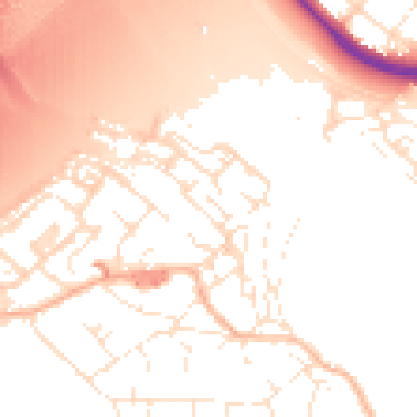
Daytime· 07:00 – 23:00
53.7dB

Night-time· 23:00 – 07:00
44.4dB