23 Clarendon Way, Chislehurst, BR7 6RE
About 23 Clarendon Way
23 Clarendon Way is a three-bedroom detached house in Chislehurst (BR7 6RE). It has a recorded floor area of 130 m² (around 1399 sq ft), construction records dating it to 1900-1929 and council tax band F. The latest certificate (March 2019) shows an E (score 52), well below the UK norm with real room to improve. The recommended improvements would lift it to C (score 79), a 2-band jump. Our model identifies extension potential, subject to local planning policy.
At 130 m² it sits well below the postcode median (201 m² across 12 EPCs), making it one of the more compact homes locally. It lags the bulk of the postcode on energy efficiency (less efficient than 83% of similar EPCs). 2 planning records sit against the property, 2 approved, 0 refused. Past consents include an extension, meaningful when judging how the property has evolved. Across 1996–2019, sale prices on this property compounded at 7.2% per year. Today's modelled estimate of £960,000 is 14% above the 2019 sale price. On a £-per-square-foot basis, the last sale (£602/sq ft) was about 52.6% above the typical sold price in the postcode. Most recent transfer: August 2019 at £842,000.
Know exactly what you're buying at 23 Clarendon Way
Before you offer, see what the listing won't tell you, the true value, the red flags and the full history.
Already flagged here
Valuation
against the asking price
Risks
planning & flood
Sold prices
similar homes nearby
Trends
the local market
What this property has
Inside
- Bedrooms3
- Bathrooms1
- Dining roomYes
- CloakroomYes
Outside
- Private gardenYes
Building
- Extension potentialPossible
Energy performance
Recommended upgrades on file would lift this property by multiple EPC bands.
EPC Rating
Planning history
23 Clarendon Way has 2 separate extension applications on the council record.
- Jul 2007ExtensionFullIn report
Extension: Part single, part two storey · Side and rear of property
Part one/two storey side/rear extensions
- Documents
- 5 docs on file
- Reference
- 07/02021/FULL6
- Aug 2001ExtensionFullIn report
Extension: Part single, part two storey · Side and rear of property
Part one/two storey side and rear extension
- Reference
- 01/02167/FULL1
We flagged 1 thing worth checking at 23 Clarendon Way
Independent checks surfaced things a buyer would want to understand before offering. The report explains each one in full, with the underlying data and what to ask.
- Larger development activity nearby
30-day money-back guarantee
Sales history & valuation
Price for 23 Clarendon Way has grown more than fourfold since the 1996 starting point.
£960,000
Modelled from EPC, postcode comparables and a sale-price growth of 7.2% per year over 23 years.
£842,000
Growth on file: 7.2% per year over 23 years.
Sales timeline
14 August 2019Most recent
£842,000
+381.1%over 22 years12 December 1996
£175,000
Median price across the last 5 sales in BR7 6RE: £1,060,000 (2025–2019).
Nearby sales in BR7 6RE
25 Clarendon Way, Chislehurst, BR7 6RE
Sold Feb 2025
£1,444,00019a, Clarendon Way, Chislehurst, BR7 6RE
Sold May 2023
£950,00031 Clarendon Way, Chislehurst, BR7 6RE
Sold Apr 2021
£1,060,00019 Clarendon Way, Chislehurst, BR7 6RE
Sold Aug 2019
£1,025,00033 Clarendon Way, Chislehurst, BR7 6RE
Sold May 2018
£1,062,500
Everything we know about 23 Clarendon Way, in one report
What it's really worth, what could be wrong, and the planning, sales and area data in full.
What we flagged
- Larger development activity nearby

Versus other Clarendon Way homes
CO₂ Emissions for 23 Clarendon Way runs comfortably ahead of the street norm.
Price per m²
£6,477
Street avg £4,974
Floor Area
130 m²
Street avg 197 m²
Habitable Rooms
6 rooms
Street avg 8 rooms
CO₂ Emissions
5.4 t/year
Street avg 7.8 t/year
Similar properties nearby
1 Brickfield Cottages, White Horse Hill
BR7 6DP
1 Benson Mews
BR7 6FD
1 Cranmore Road
BR7 6EP
1 Belmont Lane
BR7 6BH
1 Barham Close
BR7 6JA
1 Buckingham Drive
BR7 6TB
1 Albany Road
BR7 6BG
1 Broadheath Drive
BR7 6EU
The neighbourhood at a glance
Crime
3/mo
Steady year-on-year across the wider district.
Nearest stop
0.2 km
Marlings Park Avenue — bus stop.
Closest school
0.8 km
Leesons Primary School. 23 schools nearby.
Go deeper on the local area
The full report breaks down crime, transport links, schools and air quality in depth.
Road noise across the postcode
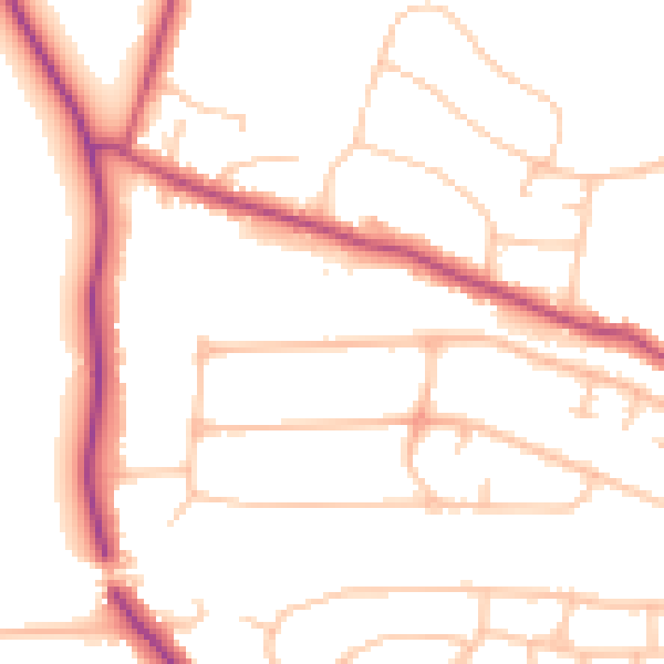
Daytime· 07:00 – 23:00
50.4dB

Night-time· 23:00 – 07:00
40.6dB