20a, High Street, West Wickham, BR4 0NJ
About 20a
20a is an end-of-terrace house in West Wickham (BR4 0NJ). It has a recorded floor area of 163 m² (around 1755 sq ft), construction records dating it to 1900-1929 and council tax band D. At 163 m² this is the largest unit on EPC record across the building (29–163 m²). The building's EPC ratings span G to B across 22 units on file. The latest certificate (November 2016) shows a D (score 56), a step below the typical UK home.
Today's modelled estimate of £368,000 is 55.2% below the 2018 sale of £821,000, an unusual pattern given regional price growth and worth checking against the EPC condition. On a £-per-square-foot basis, the last sale (£468/sq ft) was about 38.3% above the typical sold price in the postcode. At 163 m² the property is well over the postcode median (62 m² across 21 EPCs), placing it in the larger end of the local stock. 3 planning records sit against the property, 3 approved, 0 refused. Past consents include change of use to residential and new windows, meaningful when judging how the property has evolved. The record references conservation-area consent, which constrain future alterations. Most recent transfer: August 2018 at £821,000.
Know exactly what you're buying at 20a
Before you offer, see what the listing won't tell you, the true value, the red flags and the full history.
Already flagged here
Valuation
against the asking price
Risks
planning & flood
Sold prices
similar homes nearby
Trends
the local market
Energy performance
20a's carbon output runs well above what efficient homes in the postcode produce.
EPC Rating
Planning history
20a sits within a conservation area — exterior works face additional planning controls.
- Dec 2022Change of UseIn report
Change of use of rear ground/first floor area from Class E to provide 2 no. 1 bedroom flats under Class MA, Part 3, Schedule 2 of the Town and Country Planning (General Permitted Development) Order 2015 (as amended) (56 day application for prior approval in respect of transport and highways impacts, contamination risks, flood risk, noise impacts, character or sustainability of a conservation area, provision of natural light to habitable rooms, impact on an area of general or heavy industry, impact of loss of services provided by a registered nursery or a health centre, fire safety impacts)
- Agent
- Planning and Party Wall Specialists Ltd
Conservation Area- Documents
- 13 docs on file
- Reference
- 22/04321/CUETC3
- Dec 2022RenovationFullIn report
Replacement of two front elevation windows at ground floor level to match the size of the adjacent original longer length front elevation window, including associated builder's works in connection with the amended window size
- Agent
- Planning and Party Wall Specialists Ltd
New Windows- Documents
- 9 docs on file
- Reference
- 22/04322/FULL1
We flagged 1 thing worth checking at 20a
Independent checks surfaced things a buyer would want to understand before offering. The report explains each one in full, with the underlying data and what to ask.
- Larger development activity nearby
30-day money-back guarantee
Sales history & valuation
Latest sale on 20a was the highest on Land Registry record across the postcode.
£368,000
Modelled from EPC, postcode comparables.
£821,000
Recorded with HM Land Registry.
Sales timeline
21 August 2018Most recent
£821,000
Median price across the last 5 sales in BR4 0NJ: £401,000 (2022–2005).
Nearby sales in BR4 0NJ
38 40, High Street, West Wickham, BR4 0NJ
Sold Jun 2022
£580,00010a, High Street, West Wickham, BR4 0NJ
Sold Apr 2017
£195,00044a, High Street, West Wickham, BR4 0NJ
Sold Dec 2011
£401,00042a, High Street, West Wickham, BR4 0NJ
Sold May 2005
£106,24728a, High Street, West Wickham, BR4 0NJ
Sold Oct 2002
£175,000
Everything we know about 20a, in one report
What it's really worth, what could be wrong, and the planning, sales and area data in full.
What we flagged
- Larger development activity nearby

Versus other High Street homes
Floor Area for 20a runs comfortably ahead of the street norm.
Price per m²
£5,037
Street avg £5,605
Floor Area
163 m²
Street avg 70 m²
Habitable Rooms
4 rooms
Street avg 3 rooms
CO₂ Emissions
7.8 t/year
Street avg 3.5 t/year
Similar properties nearby
The neighbourhood at a glance
Rail-style transport is unusually close for this postcode.
Crime
3/mo
Steady year-on-year across the wider district.
Nearest stop
0.0 km
High Street / The Grove — bus stop.
Closest school
0.7 km
Hawes Down Primary School. 28 schools nearby.
Go deeper on the local area
The full report breaks down crime, transport links, schools and air quality in depth.
Road noise across the postcode
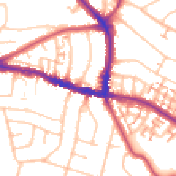
Daytime· 07:00 – 23:00
52.7dB

Night-time· 23:00 – 07:00
42.0dB