15 Brabourne Rise, Beckenham, BR3 6SQ
About 15 Brabourne Rise
15 Brabourne Rise is a five-bedroom detached house in Beckenham (BR3 6SQ). It has a recorded floor area of 299 m² (around 3218 sq ft), construction records dating it to 1930-1949 and council tax band G. The latest certificate (June 2022) shows an E (score 50), well below the UK norm with real room to improve. The recommended improvements would lift it to C (score 74), a 2-band jump. Our model identifies extension potential, subject to local planning policy.
At 299 m² the property is well over the postcode median (203 m² across 11 EPCs), placing it in the larger end of the local stock. 5 planning records sit against the property, 5 approved, 0 refused. Past consents include an extension and partial demolition, meaningful when judging how the property has evolved. Today's modelled estimate of £1,568,000 is 14.5% above the 2023 sale price. On a £-per-square-foot basis, the last sale (£426/sq ft) was about 32.1% above the typical sold price in the postcode. Last sale on file: £1,370,000 in October 2023.
Know exactly what you're buying at 15 Brabourne Rise
Before you offer, see what the listing won't tell you, the true value, the red flags and the full history.
Already flagged here
Valuation
against the asking price
Risks
planning & flood
Sold prices
similar homes nearby
Trends
the local market
What this property has
Inside
- Bedrooms5
- Bathrooms2
- Open-plan layoutYes
- EnsuiteYes
Outside
- Private gardenSouth-east-facing
- ParkingOff street
Building
- Central heatingYes
- Extension potentialPossible
Energy performance
15 Brabourne Rise's carbon output runs well above what efficient homes in the postcode produce.
EPC Rating
Planning history
Planning history includes recorded demolition works, indicating a major rebuild phase at this address.
- Apr 2025AmendmentIn report
Non-material amendment application under S96a of the Town and Country Planning Act to planning permission reference 24/01625/FULL6 to amend front entrance door to be made narrower, two central rear first floor windows to be wider and a new skylight proposed on rear roof pitch.
- Agent
- Scenario Architecture
- Documents
- 45 docs on file
- Reference
- 24/01625/AMD
- Jun 2024DemolitionFullIn report
Extension: Single storey · Rear of property
Demolition of rear addition and outbuilding and erection of single storey rear extension and elevational alterations and rooflights.
- Agent
- Scenario Architecture
Extension- Documents
- 33 docs on file
- Reference
- 24/01625/FULL6
We flagged 1 thing worth checking at 15 Brabourne Rise
Independent checks surfaced things a buyer would want to understand before offering. The report explains each one in full, with the underlying data and what to ask.
- Larger development activity nearby
30-day money-back guarantee
Sales history & valuation
15 Brabourne Rise valuation sits well clear of the typical sold price in this postcode.
£1,568,000
Modelled from EPC, postcode comparables.
£1,370,000
Recorded with HM Land Registry.
Sales timeline
31 October 2023Most recent
£1,370,000
Median price across the last 5 sales in BR3 6SQ: £1,022,000 (2025–2013).
Nearby sales in BR3 6SQ
Everything we know about 15 Brabourne Rise, in one report
What it's really worth, what could be wrong, and the planning, sales and area data in full.
What we flagged
- Larger development activity nearby

Versus other Brabourne Rise homes
CO₂ Emissions for 15 Brabourne Rise lags the street by a wide margin.
Price per m²
£4,582
Street avg £4,555
Floor Area
299 m²
Street avg 201 m²
Habitable Rooms
8 rooms
Street avg 7 rooms
CO₂ Emissions
14.0 t/year
Street avg 8.5 t/year
Similar properties nearby
1 Fairway Gardens
BR3 6YL
1 Courtenay Drive
BR3 6YE
1 Barnfield Wood Close
BR3 6SY
1 Den Close
BR3 6RP
1 Howards Crest Close
BR3 6NW
1 Brograve Gardens
BR3 6NH
1 Barnfield Wood Road
BR3 6SR
1 Ashdown Close
BR3 6TJ
The neighbourhood at a glance
Reported crime in the wider district is trending notably upward year-on-year.
Crime
9/mo
Rising year-on-year across the wider district.
Nearest stop
0.2 km
Brabourne Rise — bus stop.
Closest school
0.5 km
Highfield Junior School. 34 schools nearby.
Go deeper on the local area
The full report breaks down crime, transport links, schools and air quality in depth.
Road noise across the postcode
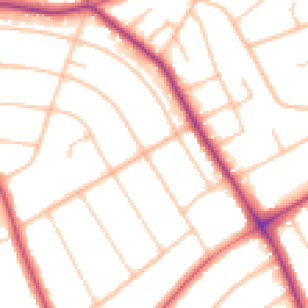
Daytime· 07:00 – 23:00
50.6dB
Night-time· 23:00 – 07:00
41.0dB