25 Forest Ridge, Keston, BR2 6EG
About 25 Forest Ridge
25 Forest Ridge is a four-bedroom detached house in Keston (BR2 6EG). It has a recorded floor area of 717 m² (around 7718 sq ft), construction records dating it to 1967-1975 and council tax band H. The latest certificate (June 2017) shows a D (score 65), on the cusp of jumping into the C band.
Untraded for 19 years, with the last transfer in May 2007. That sale landed at the peak of the pre-credit-crunch market, which is a useful reference point when interpreting the price. At 717 m² the property is well over the postcode median (494 m² across 10 EPCs), placing it in the larger end of the local stock. 11 planning records sit against the property, 4 approved, 1 refused. Past consents include an extension and a porch, meaningful when judging how the property has evolved. The record references listed-building consent and conservation-area consent, which constrain future alterations. On a £-per-square-foot basis, the last sale (£303/sq ft) was about 24.3% below the postcode norm.
Know exactly what you're buying at 25 Forest Ridge
Before you offer, see what the listing won't tell you, the true value, the red flags and the full history.
Already flagged here
Valuation
against the asking price
Risks
planning & flood
Sold prices
similar homes nearby
Trends
the local market
What this property has
Inside
- Bedrooms4
- Bathrooms3
Energy performance
25 Forest Ridge's carbon output runs well above what efficient homes in the postcode produce.
EPC Rating
Planning history
A a basement excavation application was refused at 25 Forest Ridge in 2023.
- Sept 2023BasementFullIn report
Extension: Two storey · Side of property
Demolition of side court yards and erection of two storey side extension to southern side elevation with rooflights and provision of basement plant room under pool changing room and elevational alterations (revised scheme following application allowed at appeal under 23/00389/FULL6).
- Agent
- Robinson Escott Planning
ListedExtensionDemolition- Documents
- 8 docs on file
- Reference
- 23/03414/FULL6
- Jul 2023BasementFullIn report
Extension: Two storey · Side of property
Demolition of side court yards and erection of two storey side extensions to northern and southern sides with rooflights and provision of basement plant room under pool changing room and elevational alterations.
- Agent
- Robinson Escott Planning
Extension- Documents
- 24 docs on file
- Reference
- 23/00389/FULL6
We flagged 1 thing worth checking at 25 Forest Ridge
Independent checks surfaced things a buyer would want to understand before offering. The report explains each one in full, with the underlying data and what to ask.
- A planning decision worth checking
30-day money-back guarantee
Sales history & valuation
The latest sale landed at the peak of the pre-credit-crunch market — a high-water reference point.
£2,570,000
Modelled from EPC, postcode comparables.
£2,337,500
Recorded with HM Land Registry.
Sales timeline
17 May 2007Most recent
£2,337,500
Median price across the last 5 sales in BR2 6EG: £3,600,000 (2024–2018).
Everything we know about 25 Forest Ridge, in one report
What it's really worth, what could be wrong, and the planning, sales and area data in full.
What we flagged
- A planning decision worth checking

Versus other Forest Ridge homes
On years held, 25 Forest Ridge stands well clear of the street.
Price per m²
£3,260
Street avg £6,633
Floor Area
717 m²
Street avg 598 m²
Habitable Rooms
10 rooms
Street avg 9 rooms
CO₂ Emissions
24.0 t/year
Street avg 17.0 t/year
Similar properties nearby
1 Ebury Close
BR2 6EL
1 Colliers Shaw
BR2 6JA
1 Leaves Green House, Leaves Green Road
BR2 6DU
1 Greys Park Close
BR2 6BD
1 Heritage Hill
BR2 6AU
1 Keston End, Leaves Green Road
BR2 6DT
1 High House Cottages, Ashmore Lane
BR2 6DH
1 Blackness Cottages, Blackness Lane
BR2 6HP
The neighbourhood at a glance
Daytime road noise here sits well below conversation level — a quiet pocket of the postcode.
Crime
4/mo
Steady year-on-year across the wider district.
Nearest stop
0.3 km
Keston Park Close — bus stop.
Closest school
0.9 km
Ravens Wood School. 16 schools nearby.
Go deeper on the local area
The full report breaks down crime, transport links, schools and air quality in depth.
Road noise across the postcode
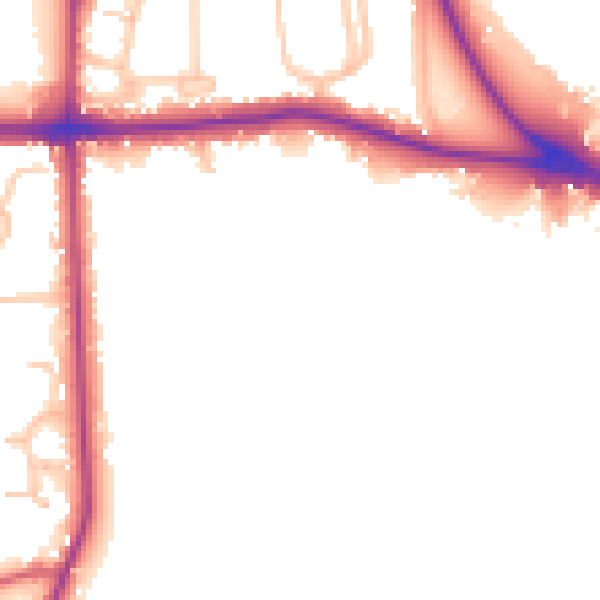
Daytime· 07:00 – 23:00
48.9dB

Night-time· 23:00 – 07:00
42.6dB