13 Shelldale Avenue, Portslade, Brighton, BN41 1LH
About 13 Shelldale Avenue
13 Shelldale Avenue is a five-bedroom end-of-terrace house in Portslade, Brighton, Brighton (BN41 1LH). It has a recorded floor area of 121 m² (around 1302 sq ft), construction records dating it to 1900-1929 and council tax band B. The latest certificate (July 2019) shows a C (score 69), just inside the C band. The recommended improvements would push it to B (score 83).
At 121 m² the property is well over the postcode median (74 m² across 22 EPCs), placing it in the larger end of the local stock. Its energy rating outperforms most of the postcode (better than 73% of similar EPCs). 5 bedrooms is on the larger side for this postcode, where 3 is the typical count. Most recent transfer was January 2025 at £400,250 — fresh data. One planning record on file: an extension approved in 2012. Past consents include an extension, meaningful when judging how the property has evolved. Across 2000–2025, sale prices on this property compounded at 8.6% per year. Today's modelled estimate of £441,000 is 10.2% above the 2025 sale price. On a £-per-square-foot basis, the last sale (£307/sq ft) was about 46.8% above the typical sold price in the postcode.
Know exactly what you're buying at 13 Shelldale Avenue
Before you offer, see what the listing won't tell you, the true value, the red flags and the full history.
Already flagged here
Valuation
against the asking price
Risks
planning & flood
Sold prices
similar homes nearby
Trends
the local market
What this property has
Inside
- Bedrooms5
- Bathrooms3
- Dining roomYes
- EnsuiteYes
Outside
- Private gardenRear
Energy performance
EPC Rating
Planning history
13 Shelldale Avenue has an approved single-storey rear extension on the planning record.
- Jul 2012ExtensionFullIn report
Extension: Single storey · Rear of property
Erection of single storey rear extension and construction of access ramp to front of property.
- Agent
- Mr Mark Mason
- Documents
- 8 docs on file
- Reference
- BH2012/01445
We flagged 2 things worth checking at 13 Shelldale Avenue
Independent checks surfaced things a buyer would want to understand before offering. The report explains each one in full, with the underlying data and what to ask.
- Signs of HMO activity in the area
- Larger development activity nearby
30-day money-back guarantee
Sales history & valuation
Price for 13 Shelldale Avenue has grown more than fourfold since the 2000 starting point.
£441,000
Modelled from EPC, postcode comparables and a sale-price growth of 8.6% per year over 24 years.
£400,250
Growth on file: 8.6% per year over 24 years.
Sales timeline
13 January 2025Most recent
£400,250
+11.2%over 3 years17 June 2021
£360,000
+579.2%over 20 years2 August 2000
£53,000
Median price across the last 5 sales in BN41 1LH: £350,000 (2024–2021).
Nearby sales in BN41 1LH
28 Shelldale Avenue, Portslade, Brighton, BN41 1LH
Sold Nov 2024
£305,00011 Shelldale Avenue, Portslade, Brighton, BN41 1LH
Sold Nov 2023
£350,00021 Shelldale Avenue, Portslade, Brighton, BN41 1LH
Sold Oct 2023
£358,00018 Shelldale Avenue, Portslade, Brighton, BN41 1LH
Sold Jun 2022
£471,50024 Shelldale Avenue, Portslade, Brighton, BN41 1LH
Sold Mar 2021
£315,000
Everything we know about 13 Shelldale Avenue, in one report
What it's really worth, what could be wrong, and the planning, sales and area data in full.
What we flagged
- Signs of HMO activity in the area
- Larger development activity nearby

Versus other Shelldale Avenue homes
On years held, 13 Shelldale Avenue runs well behind the street norm.
Price per m²
£3,308
Street avg £2,959
Floor Area
121 m²
Street avg 78 m²
Habitable Rooms
6 rooms
Street avg 5 rooms
CO₂ Emissions
4.1 t/year
Street avg 3.4 t/year
Similar properties nearby
1 Gardner Road, Portslade
BN41 1PN
1 Rothbury Mews, Franklin Road, Portslade
BN41 1AU
1 Links Road, Portslade
BN41 1XH
1 Elm Road, Portslade
BN41 1SA
1 Hurst Crescent, Portslade
BN41 1SG
1 Bampfield Street, Portslade
BN41 1SE
1 Gardener Street, Portslade
BN41 1SX
1 Brambledean Road, Portslade
BN41 1LP
The neighbourhood at a glance
Rail-style transport is unusually close for this postcode.
Crime
4/mo
Steady year-on-year across the wider district.
Nearest stop
0.1 km
Shelldale Road — bus stop.
Closest school
0.4 km
St Mary's Catholic Primary School. 21 schools nearby.
Go deeper on the local area
The full report breaks down crime, transport links, schools and air quality in depth.
Road noise across the postcode
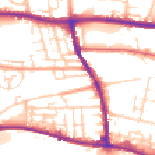
Daytime· 07:00 – 23:00
54.1dB

Night-time· 23:00 – 07:00
44.9dB