13 Vale Road, Portslade, Brighton, BN41 1GD
About 13 Vale Road
13 Vale Road is a one-bedroom semi-detached house in Portslade, Brighton, Brighton (BN41 1GD). It has a recorded floor area of 95 m² (around 1023 sq ft), construction records dating it to 1900-1929 and council tax band C. The latest certificate (April 2012) shows a D (score 62), on the cusp of jumping into the C band. The recommended improvements would push it to C (score 77). The latest certificate is from April 2012, so improvements made since then won't be reflected.
Today's modelled estimate of £457,000 sits 79.2% above the 2012 sale of £255,000. 2 planning records sit against the property, 2 approved, 0 refused. Past consents include an extension, meaningful when judging how the property has evolved. Last sold in October 2012, so it's been off the market for around 14 years.
Know exactly what you're buying at 13 Vale Road
Before you offer, see what the listing won't tell you, the true value, the red flags and the full history.
Already flagged here
Valuation
against the asking price
Risks
planning & flood
Sold prices
similar homes nearby
Trends
the local market
What this property has
Inside
- Bedrooms1
- Bathrooms1
Outside
- ParkingOff street
Building
- RefurbishedYes
Energy performance
13 Vale Road's EPC is over a decade old — improvements since won't be reflected.
EPC Expired
This certificate is over 10 years old and is no longer valid.Expired 29 Apr 2022
EPC Rating
Planning history
13 Vale Road has an approved single-storey rear extension on the planning record.
- Jan 2015ExtensionOutlineIn report
Extension: Single storey · Rear of property
Prior approval for the erection of a single storey rear extension, which would extend beyond the rear wall of the original house by 4.985m, for which the maximum height would be 3.3m, and for which the height of the eaves would be 3m.
- Agent
- Mr J Sergi
- Documents
- 5 docs on file
- Reference
- BH2014/04000
- Mar 2005RenovationFullIn report
Formation of a new vehicular crossover (retrospective).
Retrospective- Documents
- 2 docs on file
- Reference
- BH2005/00243/FP
We flagged 2 things worth checking at 13 Vale Road
Independent checks surfaced things a buyer would want to understand before offering. The report explains each one in full, with the underlying data and what to ask.
- Signs of HMO activity in the area
- Larger development activity nearby
30-day money-back guarantee
Sales history & valuation
13 Vale Road valuation sits well clear of the typical sold price in this postcode.
£457,000
Modelled from EPC, postcode comparables.
£255,000
Recorded with HM Land Registry.
Sales timeline
29 October 2012Most recent
£255,000
Median price across the last 5 sales in BN41 1GD: £475,000 (2025–2022).
Nearby sales in BN41 1GD
11 Vale Road, Portslade, Brighton, BN41 1GD
Sold Sept 2025
£555,00055 Vale Road, Portslade, Brighton, BN41 1GD
Sold Aug 2024
£405,00037 Vale Road, Portslade, Brighton, BN41 1GD
Sold Apr 2023
£475,00021 Vale Road, Portslade, Brighton, BN41 1GD
Sold Oct 2022
£335,00023 Vale Road, Portslade, Brighton, BN41 1GD
Sold Jun 2022
£630,000
Everything we know about 13 Vale Road, in one report
What it's really worth, what could be wrong, and the planning, sales and area data in full.
What we flagged
- Signs of HMO activity in the area
- Larger development activity nearby

Versus other Vale Road homes
13 Vale Road outperforms the street on co₂ emissions by a wide margin.
Price per m²
£2,684
Street avg £3,291
Floor Area
95 m²
Street avg 97 m²
Habitable Rooms
5 rooms
Street avg 6 rooms
CO₂ Emissions
4.0 t/year
Street avg 5.1 t/year
Similar properties nearby
1 Gardener Street, Portslade
BN41 1SX
1 Brambledean Road, Portslade
BN41 1LP
1 Garden Close, Portslade
BN41 1XL
1 Park Crescent, Portslade
BN41 1SR
1 Albion Street, Portslade
BN41 1DQ
1 Barnes Road, Portslade
BN41 1SY
1 Eastbrook Road, Portslade
BN41 1LN
1 Links Road, Portslade
BN41 1XH
The neighbourhood at a glance
Rail-style transport is unusually close for this postcode.
Crime
4/mo
Steady year-on-year across the wider district.
Nearest stop
0.2 km
Portslade Railway Station — bus stop.
Closest school
0.3 km
Benfield Primary School. 22 schools nearby.
Go deeper on the local area
The full report breaks down crime, transport links, schools and air quality in depth.
Road noise across the postcode
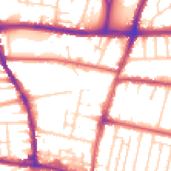
Daytime· 07:00 – 23:00
54.3dB

Night-time· 23:00 – 07:00
45.5dB