12 Second Avenue, Worthing, BN14 9NX
About 12 Second Avenue
12 Second Avenue is a three-bedroom detached house in Worthing (BN14 9NX). It has a recorded floor area of 155 m² (around 1668 sq ft), construction records dating it to 1950-1966 and council tax band G. The latest certificate (March 2025) shows a C (score 70).
Untraded for 29 years, with the last transfer in November 1997. Only one transfer is on record with HM Land Registry, suggesting it has stayed in the same hands for a long time. Today's modelled estimate of £805,000 sits 360% above the 1997 sale of £175,000. On a £-per-square-foot basis, the last sale (£105/sq ft) was about 61.6% below the postcode norm. Its energy rating outperforms most of the postcode (better than 70% of similar EPCs).
Know exactly what you're buying at 12 Second Avenue
Before you offer, see what the listing won't tell you, the true value, the red flags and the full history.
Valuation
against the asking price
Risks
planning & flood
Sold prices
similar homes nearby
Trends
the local market
What this property has
Inside
- Bedrooms3
- Bathrooms1
- Dining roomYes
- Utility roomYes
Outside
- Private gardenSouth-facing
- GarageYes
Building
- RefurbishedYes
Energy performance
EPC Rating
Planning history
12 Second Avenue has no planning applications on record.
The full report still covers planning activity across the surrounding area.
Sales history & valuation
Latest sale on 12 Second Avenue was the lowest on Land Registry record across the postcode.
£805,000
Modelled from EPC, postcode comparables.
£175,000
Recorded with HM Land Registry.
Sales timeline
28 November 1997Most recent
£175,000
Median price across the last 5 sales in BN14 9NX: £890,000 (2024–2019).
Nearby sales in BN14 9NX
Everything we know about 12 Second Avenue, in one report
What it's really worth, what could be wrong, and the planning, sales and area data in full.
- Am I paying too much?
- Is something wrong with it?
- Is the agent's story true?
- Will it hold its value?

Versus other Second Avenue homes
12 Second Avenue is notably below the street on price per m².
Price per m²
£1,129
Street avg £4,020
Floor Area
155 m²
Street avg 183 m²
Habitable Rooms
6 rooms
Street avg 7 rooms
CO₂ Emissions
4.9 t/year
Street avg 7.6 t/year
Similar properties nearby
1 First Avenue
BN14 9NH
1 Beeches Avenue
BN14 9JE
1 Golf Course Cottages, Hill Barn Lane
BN14 9QF
1 Broadwater Way
BN14 9LP
1 Bramley Road
BN14 9DR
1 Grove Lodge Cottages, Upper Brighton Road
BN14 9HU
1 Excess Cottages, Hill Barn Lane
BN14 9QE
1 Downlands Gardens
BN14 9EZ
The neighbourhood at a glance
Crime
3/mo
Steady year-on-year across the wider district.
Nearest stop
0.5 km
Forest Road — bus stop.
Closest school
0.7 km
Broadwater CofE Primary School. 21 schools nearby.
Go deeper on the local area
The full report breaks down crime, transport links, schools and air quality in depth.
Road noise across the postcode
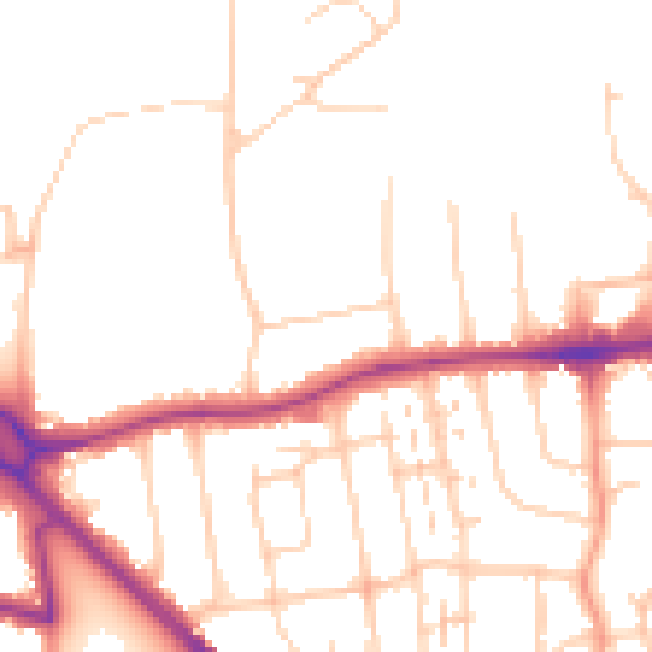
Daytime· 07:00 – 23:00
50.2dB

Night-time· 23:00 – 07:00
40.6dB