215a, Tarring Road, Worthing, BN11 4HW
About 215a
215a is a mid-terrace house in Worthing (BN11 4HW). It has a recorded floor area of 71 m² (around 764 sq ft), construction records dating it to 1900-1929 and council tax band B. At 71 m² this is the 5th smallest of 14 units on EPC record in the building, where floor areas span 26–124 m². The building's EPC ratings span E to C across 14 units on file. The latest certificate (July 2016) shows a D (score 65), on the cusp of jumping into the C band. The recommended improvements would push it to C (score 71). The latest certificate is from July 2016, so improvements made since then won't be reflected.
2 planning records sit against the property, 2 approved, 0 refused. Past consents include a loft conversion and subdivision, meaningful when judging how the property has evolved. Across 2008–2021, sale prices on this property compounded at 0.5% per year. On a £-per-square-foot basis, the last sale (£406/sq ft) was about 110.1% above the typical sold price in the postcode. Most recent transfer: October 2021 at £310,000. That sale was during the post-pandemic price surge, when transactions cleared materially above pre-2020 trend.
Everything you need to know about 215a
The true value, the hidden risks and the full sale history, in one report.
Pick your report · from £14.99
One time fee only - money back guarantee

The data behind every report







Energy performance
EPC Expired
This certificate is over 10 years old and is no longer valid.Expired 27 Jul 2026
EPC Rating
Certificate validity
Expired on 27 July 2026

Get a survey for this property
Level 3 Building Survey
Because the property was built before 1919, we believe a Level 3 building survey should be considered.
From £955 · Includes VAT
Planning history
Council records show a subdivision application — the property's legal arrangement has been altered.
2 applications on record at 215a, Tarring Road, Worthing, BN11 4HW
- May 2008SubdivisionFullOutcome in report
Conversion of existing storage area at the rear of 217 Tarring Road to form 2 self-contained flats.
- Documents
- 6 docs on file
- Reference
- 08/0280/FULL
- More recent applications — locked
- Loft ConversionApr 2022Decision
Unlock 215a, Tarring Road, Worthing, BN11 4HW's full planning history
You're seeing the shape of it. The report has the substance.
- Every decision — granted, refused or withdrawn (2 on record)
- All 2 applications on this property in full, plus 8 notable nearby
- The 15 documents, officer reports & conditions
- What the pattern means for extending or converting here
One time fee only - money back guarantee
Sales history & valuation
Latest sale on 215a was the highest on Land Registry record across the postcode.
£313,000
Modelled from EPC, postcode comparables and a sale-price growth of 0.5% per year over 14 years.
£310,000
Growth on file: 0.5% per year over 14 years.
Sales timeline
7 October 2021Most recent
£310,000
+7.3%over 13 years28 March 2008
£289,000
Median price across the last 5 sales in BN11 4HW: £160,000 (2025–2017).
Nearby sales in BN11 4HW
Versus other Tarring Road homes
215a outperforms the street on price per m² by a wide margin.
Price per m²
£4,366
Street avg £2,877
Floor Area
71 m²
Street avg 74 m²
Habitable Rooms
3 rooms
Street avg 3 rooms
CO₂ Emissions
3.0 t/year
Street avg 3.4 t/year
Everything you need to know about 215a
The true value, the hidden risks and the full sale history, in one report.
Pick your report · from £14.99
One time fee only - money back guarantee
The data behind every report
Similar properties nearby
1 Mill House Gardens
BN11 4NE
1 Coach House Mews, Gratwicke Road
BN11 4DQ
1 Howard Street
BN11 4EN
1 Chappell Croft, Manor Road
BN11 4SF
1 Amelia Crescent
BN11 4EB
1 Mill Court, Manor Road
BN11 4SG
1 College Gardens
BN11 4QE
1 Little Pembrokes, Downview Road
BN11 4NL
The neighbourhood at a glance
Rail-style transport is unusually close for this postcode.
Crime
327/mo
Rising year-on-year across the wider district.
Nearest stop
0.1 km
West Worthing Rail Station — railway station.
Closest school
0.8 km
Elm Grove Primary School, Worthing. 25 schools nearby.
Go deeper on the local area
A Local Area report breaks down crime, transport links, schools and air quality in depth.
Road noise across the postcode
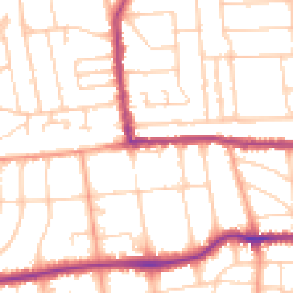
Daytime· 07:00 – 23:00
51.5dB
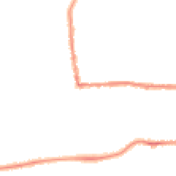
Night-time· 23:00 – 07:00
41.0dB