111 Tarring Road, Worthing, BN11 4HE
About 111 Tarring Road
111 Tarring Road is a three-bedroom mid-terrace house in Worthing (BN11 4HE). It has a recorded floor area of 125 m² (around 1340 sq ft), construction records dating it to 1900-1929 and council tax band C. Tenure is freehold. The latest certificate (February 2012) shows an E (score 54), well below the UK norm with real room to improve. The recommended improvements would push it to D (score 55). The latest certificate is from February 2012, so improvements made since then won't be reflected.
At 125 m² the property is well over the postcode median (49 m² across 45 EPCs), placing it in the larger end of the local stock. It lags the bulk of the postcode on energy efficiency (less efficient than 87% of similar EPCs). Sold December 2020 for £358,500. Across the public record there are 4 sales, relatively high churn for a single property. Across 1996–2020, sale prices on this property compounded at 7.9% per year. Today's modelled estimate of £403,000 is 12.4% above the 2020 sale price. On a £-per-square-foot basis, the last sale (£267/sq ft) was about 15.2% above the typical sold price in the postcode.
What this property has
Inside
- Bedrooms3
- Bathrooms1
- Dining roomYes
Outside
- Private gardenSouth-facing
Building
- TenureFreehold
- Heating systemGas
Everything you need to know about 111 Tarring Road
The true value, the hidden risks and the full sale history, in one report.
Pick your report · every report is £14.99
One time fee only - money back guarantee

The data behind every report


Energy performance
111 Tarring Road's EPC is over a decade old — improvements since won't be reflected.
EPC Expired
This certificate is over 10 years old and is no longer valid.Expired 01 Mar 2022
EPC Rating
Get a survey for this property
Level 3 Building Survey
Because the property was built before 1919 and has solid (non-cavity) walls, we believe a Level 3 building survey should be considered.
From £1,020 · Includes VAT
Planning history
111 Tarring Road has no planning applications on record.
But the area is active
8 notable applications nearby — larger schemes and conversions that could reshape the street. The report maps them all.
Sales history & valuation
111 Tarring Road has more than quadrupled in price since its earliest registered sale in 1996.
£403,000
Modelled from EPC, postcode comparables and a sale-price growth of 7.9% per year over 24 years.
£358,500
Growth on file: 7.9% per year over 24 years.
Sales timeline
11 December 2020Most recent
£358,500
+70.7%over 14 years14 September 2006
£210,000
+191.7%over 8 years6 August 1998
£72,000
+28.6%over 1 year6 August 1996
£56,000
Median price across the last 5 sales in BN11 4HE: £227,500 (2024–2020).
Nearby sales in BN11 4HE
Flat 1, 113 Tarring Road, Worthing, BN11 4HE
Sold Sept 2024
£227,500141a, Tarring Road, Worthing, BN11 4HE
Sold Jun 2024
£180,000141b, Tarring Road, Worthing, BN11 4HE
Sold Jun 2023
£180,000Flat 2, 129 Tarring Road, Worthing, BN11 4HE
Sold Sept 2022
£290,000135 Tarring Road, Worthing, BN11 4HE
Sold Dec 2020
£315,000
Versus other Tarring Road homes
On price per m², 111 Tarring Road stands well clear of the street.
Price per m²
£2,879
Street avg £2,147
Floor Area
125 m²
Street avg 125 m²
Habitable Rooms
7 rooms
Street avg 6 rooms
CO₂ Emissions
5.9 t/year
Street avg 4.6 t/year
Everything you need to know about 111 Tarring Road
The true value, the hidden risks and the full sale history, in one report.
Pick your report · every report is £14.99
One time fee only - money back guarantee
The data behind every report
Similar properties nearby
1 Amelia Crescent
BN11 4EB
1 Little Pembrokes, Downview Road
BN11 4NL
1 Elizabeth Road
BN11 4EF
1 Acre Gardens, Boundary Road
BN11 4LN
1 Longfellow Road
BN11 4NU
1 Coach House Mews, Gratwicke Road
BN11 4DQ
1 Chappell Croft, Manor Road
BN11 4SF
1 Mill House Gardens
BN11 4NE
The neighbourhood at a glance
Rail-style transport is unusually close for this postcode.
Crime
5/mo
Steady year-on-year across the wider district.
Nearest stop
0.1 km
Heene Road — bus stop.
Closest school
0.4 km
Heene CofE Primary School. 24 schools nearby.
Go deeper on the local area
A Local Area report breaks down crime, transport links, schools and air quality in depth.
Road noise across the postcode
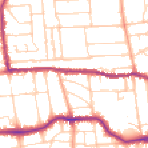
Daytime· 07:00 – 23:00
51.5dB

Night-time· 23:00 – 07:00
41.2dB