11 Amelia Crescent, Worthing, BN11 4EB
About 11 Amelia Crescent
11 Amelia Crescent is an end-of-terrace house in Worthing (BN11 4EB). It has a recorded floor area of 112 m² (around 1206 sq ft), construction records dating it to 1996-2002 and council tax band D. The latest certificate (May 2022) shows a C (score 69), just inside the C band. The recommended improvements would push it to B (score 83).
It hasn't traded since August 2003, a hold of 23 years that's notably long for the area. Today's modelled estimate of £443,000 sits 77.2% above the 2003 sale of £250,000. On a £-per-square-foot basis, the last sale (£207/sq ft) was about 15.1% above the typical sold price in the postcode. One planning record on file: an extension approved in 2005. Past consents include an extension and a conservatory, meaningful when judging how the property has evolved.
Everything you need to know about 11 Amelia Crescent
The true value, the hidden risks and the full sale history, in one report.
Pick your report · every report is £14.99
One time fee only - money back guarantee

The data behind every report


Energy performance
EPC Rating
Get a survey for this property
Level 3 Building Survey
Because the property has been extended more than once, we believe a Level 3 building survey should be considered.
From £1,020 · Includes VAT
Planning history
11 Amelia Crescent has an approved rear extension on the planning record.
1 application on record at 11 Amelia Crescent, Worthing, BN11 4EB
- Jan 2005ConservatoryFullOutcome in report
Extension: Rear of property
Proposed conservatory to the rear elevation.
Extension- Reference
- 04/01308/FULL
Unlock 11 Amelia Crescent, Worthing, BN11 4EB's full planning history
You're seeing the shape of it. The report has the substance.
- Every decision — granted, refused or withdrawn (1 on record)
- All 1 application on this property in full, plus 8 notable nearby
- What the pattern means for extending or converting here
One time fee only - money back guarantee
Sales history & valuation
11 Amelia Crescent valuation sits well clear of the typical sold price in this postcode.
£443,000
Modelled from EPC, postcode comparables.
£250,000
Recorded with HM Land Registry.
Sales timeline
26 August 2003Most recent
£250,000
Median price across the last 5 sales in BN11 4EB: £380,000 (2024–2013).
Nearby sales in BN11 4EB
Versus other Amelia Crescent homes
11 Amelia Crescent outperforms the street on years held by a wide margin.
Price per m²
£2,232
Street avg £2,349
Floor Area
112 m²
Street avg 127 m²
Habitable Rooms
5 rooms
Street avg 4 rooms
CO₂ Emissions
3.7 t/year
Street avg 3.6 t/year
Everything you need to know about 11 Amelia Crescent
The true value, the hidden risks and the full sale history, in one report.
Pick your report · every report is £14.99
One time fee only - money back guarantee
The data behind every report
Similar properties nearby
1 Elizabeth Road
BN11 4EF
1 Acre Gardens, Boundary Road
BN11 4LN
1 Amelia Crescent
BN11 4EB
1 Longfellow Road
BN11 4NU
1 Gratwicke Road
BN11 4BH
1 Little Pembrokes, Downview Road
BN11 4NL
1 Chaucer Road
BN11 4PB
1 Coach House Mews, Gratwicke Road
BN11 4DQ
The neighbourhood at a glance
Rail-style transport is unusually close for this postcode.
Crime
5/mo
Steady year-on-year across the wider district.
Nearest stop
0.2 km
Amelia Park — bus stop.
Closest school
0.0 km
St Mary's Catholic Primary School. 23 schools nearby.
Go deeper on the local area
A Local Area report breaks down crime, transport links, schools and air quality in depth.
Road noise across the postcode
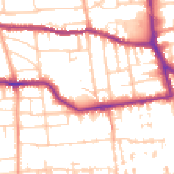
Daytime· 07:00 – 23:00
53.1dB
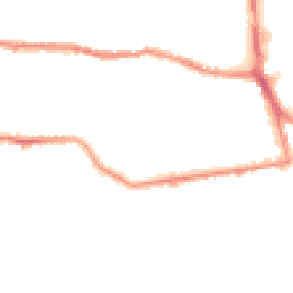
Night-time· 23:00 – 07:00
42.3dB