Flat 2, 16 Oxford Road, Worthing, BN11 1XG
About Flat 2
Flat 2 is a one-bedroom end-of-terrace house in Worthing (BN11 1XG). It has a recorded floor area of 27 m² (around 288 sq ft), construction records dating it to 1900-1929 and council tax band A. The latest certificate (January 2010) shows a D (score 62), on the cusp of jumping into the C band. The recommended improvements would push it to C (score 69). The latest certificate is from January 2010, so improvements made since then won't be reflected.
It hasn't traded since December 2010, a hold of 15 years that's notably long for the area. Across 2000–2010, sale prices on this property compounded at 10.2% per year. Today's modelled estimate of £131,000 sits 74.7% above the 2010 sale of £75,000. On a £-per-square-foot basis, the last sale (£261/sq ft) was about 20.8% above the typical sold price in the postcode. At 27 m² it's 28.7% smaller than the typical home in the postcode (37 m² median across 26 EPCs).
What this property has
Inside
- Bedrooms1
- Dining roomYes
- StudyYes
Outside
- Private gardenEast-facing
Building
- Heating systemGas fired
- RefurbishedYes
Everything you need to know about Flat 2
The true value, the hidden risks and the full sale history, in one report.
Pick your report · every report is £14.99
One time fee only - money back guarantee

The data behind every report


Energy performance
Flat 2's EPC is over a decade old — improvements since won't be reflected.
EPC Expired
This certificate is over 10 years old and is no longer valid.Expired 07 Jan 2020
EPC Rating
Get a survey for this property
Level 3 Building Survey
Because the property was built before 1919 and has solid (non-cavity) walls, we believe a Level 3 building survey should be considered.
From £820 · Includes VAT
Planning history
Flat 2 has no planning applications on record.
But the area is active
15 notable applications nearby — larger schemes and conversions that could reshape the street. The report maps them all.
Sales history & valuation
Sale price has at least doubled since 2000.
£131,000
Modelled from EPC, postcode comparables and a sale-price growth of 10.2% per year over 11 years.
£75,000
Growth on file: 10.2% per year over 11 years.
Sales timeline
10 December 2010Most recent
£75,000
+188.5%over 10 years21 January 2000
£26,000
Median price across the last 5 sales in BN11 1XG: £140,000 (2025–2023).
Nearby sales in BN11 1XG
Flat 3, 2 Oxford Road, Worthing, BN11 1XG
Sold Aug 2025
£120,000Flat 1, 2 Oxford Road, Worthing, BN11 1XG
Sold Jun 2025
£140,000Flat 5, 2 Oxford Road, Worthing, BN11 1XG
Sold Dec 2024
£122,50014 Oxford Road, Worthing, BN11 1XG
Sold Jan 2024
£602,000Flat 2, 11 Oxford Road, Worthing, BN11 1XG
Sold Dec 2023
£180,000
Versus other Oxford Road homes
On floor area, Flat 2 runs well behind the street norm.
Price per m²
£2,807
Street avg £3,980
Floor Area
27 m²
Street avg 40 m²
Habitable Rooms
1 rooms
Street avg 2 rooms
CO₂ Emissions
2.4 t/year
Street avg 2.8 t/year
Everything you need to know about Flat 2
The true value, the hidden risks and the full sale history, in one report.
Pick your report · every report is £14.99
One time fee only - money back guarantee
The data behind every report
Similar properties nearby
1a, Flat 1, Lennox Road
BN11 1FF
19a, Flat 1, Chapel Road
BN11 1EG
1a, Flat 1, Dagmar Street
BN11 1LA
19a, Flat 5, Chapel Road
BN11 1EG
19 21, Flat 5, Ash Grove
BN11 1PD
19 21, Flat 2, Ash Grove
BN11 1PD
17a, Flat 3, Chapel Road
BN11 1EG
19a, Flat 6, Chapel Road
BN11 1EG
The neighbourhood at a glance
Rail-style transport is unusually close for this postcode.
Crime
5/mo
Steady year-on-year across the wider district.
Nearest stop
0.2 km
Teville Gate — bus stop.
Closest school
0.3 km
St Mary's Catholic Primary School. 23 schools nearby.
Go deeper on the local area
A Local Area report breaks down crime, transport links, schools and air quality in depth.
Road noise across the postcode
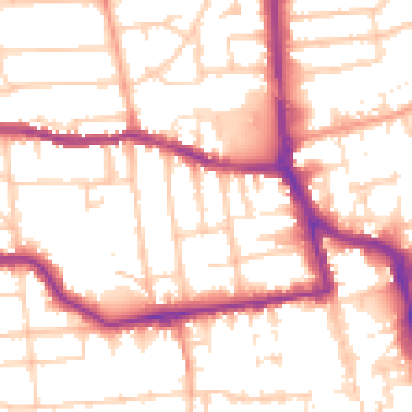
Daytime· 07:00 – 23:00
53.6dB
Night-time· 23:00 – 07:00
43.0dB