6a, Oxford Street, Brighton, BN1 4LA
About 6a
6a is a property in Brighton (BN1 4LA). It has council tax band A.
One planning record on file: an extension refused in 2014.
Energy performance
No EPC on record
This property doesn't have an Energy Performance Certificate yet. An EPC is required to sell or let — and unlocks our automated valuation.

Get a survey for this property
Level 2 HomeBuyer Report
We've checked 10 risk factors against the available data for this property and believe a Level 2 HomeBuyer Report could be a suitable option for you.
Planning history
- Aug 2014ExtensionFullOutcome in report
Erection of extension at second floor level to front and rear elevations, installation of an external rear staircase to second floor level and alterations to fenestration.
- Documents
- 10 docs on file
- Reference
- BH2014/00500
Sales history & valuation
No sales recorded with HM Land Registry
That can mean the property has never traded since the registry began publishing in 1995, was a new build that hasn't been registered yet, or is held in the same hands long-term.
Median price across the last 5 sales in BN1 4LA: £310,000 (2025–2020).
Similar properties nearby
The neighbourhood at a glance
Rail-style transport is unusually close for this postcode.
Crime
1110/mo
Falling year-on-year across the wider district.
Nearest stop
0.0 km
Open Market — bus stop.
Closest school
0.7 km
Carlton Hill Primary School. 30 schools nearby.
Road noise across the postcode
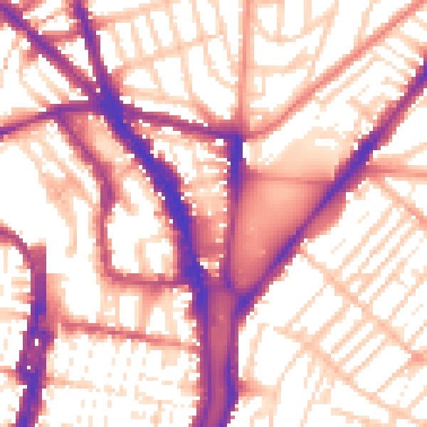
Daytime· 07:00 – 23:00
56.9dB
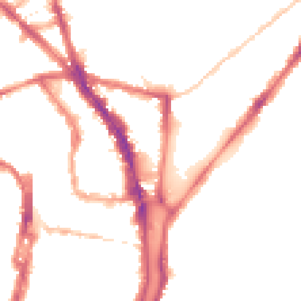
Night-time· 23:00 – 07:00
47.2dB