18 Britain Street, Bury, BL9 9PD
About 18 Britain Street
18 Britain Street is a two-bedroom property in Bury (BL9 9PD). It has council tax band A.
Untraded for 16 years, with the last transfer in May 2010. Across 2009–2010, sale prices on this property compounded at 58.4% per year. One historical planning record sits against the property in 2009.
Know exactly what you're buying at 18 Britain Street
Before you offer, see what the listing won't tell you, the true value, the red flags and the full history.
Already flagged here
Valuation
against the asking price
Risks
planning & flood
Sold prices
similar homes nearby
Trends
the local market
What this property has
Inside
- Bedrooms2
Energy performance
No EPC on record
This property doesn't have an Energy Performance Certificate yet. An EPC is required to sell or let — and unlocks our automated valuation.
Planning history
- Jul 2009FullIn report
CHANGE OF USE FROM SHOP AND DWELLING TO DWELLINGHOUSE (RETROSPECTIVE)
Retrospective- Documents
- 5 docs on file
- Reference
- 51426
We flagged 2 things worth checking at 18 Britain Street
Independent checks surfaced things a buyer would want to understand before offering. The report explains each one in full, with the underlying data and what to ask.
- Signs of HMO activity in the area
- Recent ownership pattern worth a look
30-day money-back guarantee
Sales history & valuation
18 Britain Street changed hands twice within eighteen months — unusual for the area.
£122,000
Growth on file: 58.4% per year over 1 year.
Sales timeline
13 May 2010Most recent
£122,000
+58.4%over 11 months11 June 2009
£77,000
Median price across the last 5 sales in BL9 9PD: £198,500 (2025–2024).
Everything we know about 18 Britain Street, in one report
What it's really worth, what could be wrong, and the planning, sales and area data in full.
What we flagged
- Signs of HMO activity in the area
- Recent ownership pattern worth a look

Similar properties nearby
The neighbourhood at a glance
Daytime road noise here sits well below conversation level — a quiet pocket of the postcode.
Nearest stop
0.1 km
Dumers Lane — bus stop.
Closest school
0.7 km
St Peter's Church of England Primary School. 34 schools nearby.
Go deeper on the local area
The full report breaks down crime, transport links, schools and air quality in depth.
Road noise across the postcode
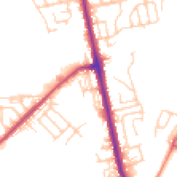
Daytime· 07:00 – 23:00
49.3dB

Night-time· 23:00 – 07:00
41.0dB