13 Rhodes Drive, Bury, BL9 8NH
About 13 Rhodes Drive
13 Rhodes Drive is a four-bedroom detached house in Bury (BL9 8NH). It has a recorded floor area of 148 m² (around 1593 sq ft), construction records dating it to 1950-1966 and council tax band E. The latest certificate (January 2014) shows an E (score 46), well below the UK norm with real room to improve. The rating has held steady at E across 2 certificates since July 2012. Between certificates, roof efficiency went from Very Poor to Poor. The recommended improvements would lift it to C (score 76), a 2-band jump. The latest certificate is from January 2014, so improvements made since then won't be reflected. Records show the property has been extended at some point in its history.
It hasn't traded since January 2005, a hold of 21 years that's notably long for the area. At 148 m² it's 24.4% larger than the typical home in the postcode (119 m² median across 19 EPCs). On energy efficiency it sits in the bottom 10% of properties in this postcode — significant headroom for improvement. Today's modelled estimate of £385,000 sits 75% above the 2005 sale of £220,000. On a £-per-square-foot basis, the last sale (£138/sq ft) was about 24.3% below the postcode norm. 2 planning records sit against the property, 2 approved, 0 refused. Past consents include an extension and a porch, meaningful when judging how the property has evolved.
Know exactly what you're buying at 13 Rhodes Drive
Before you offer, see what the listing won't tell you, the true value, the red flags and the full history.
Already flagged here
Valuation
against the asking price
Risks
planning & flood
Sold prices
similar homes nearby
Trends
the local market
What this property has
Inside
- Bedrooms4
Building
- Central heatingYes
- Previously extendedYes
Energy performance
13 Rhodes Drive sits at the bottom of the postcode for energy efficiency — meaningful headroom to improve.
EPC Expired
This certificate is over 10 years old and is no longer valid.Expired 27 Jan 2024
EPC Rating
Property Improvements
Changes detected from historical EPC data
Heating controls changed
Roof insulation improved
Planning history
Council records include a part-single-part-two-storey side and rear extension at 13 Rhodes Drive.
- Mar 2017PorchFullIn report
Extension: Single storey · Front of property
Single storey front extension and new front porch
- Agent
- Northside Plans Ltd
Extension- Documents
- 5 docs on file
- Reference
- 61020
- Jan 2016ExtensionFullIn report
Extension: Part single, part two storey · Side and rear of property
First floor and two storey side and rear extensions
- Agent
- Northside Plans Ltd
- Documents
- 4 docs on file
- Reference
- 59589
We flagged 1 thing worth checking at 13 Rhodes Drive
Independent checks surfaced things a buyer would want to understand before offering. The report explains each one in full, with the underlying data and what to ask.
- Larger development activity nearby
30-day money-back guarantee
Sales history & valuation
13 Rhodes Drive valuation sits well clear of the typical sold price in this postcode.
£385,000
Modelled from EPC, postcode comparables.
£220,000
Recorded with HM Land Registry.
Sales timeline
28 January 2005Most recent
£220,000
Median price across the last 5 sales in BL9 8NH: £358,000 (2024–2023).
Everything we know about 13 Rhodes Drive, in one report
What it's really worth, what could be wrong, and the planning, sales and area data in full.
What we flagged
- Larger development activity nearby

Versus other Rhodes Drive homes
13 Rhodes Drive outperforms the street on years held by a wide margin.
Price per m²
£1,486
Street avg £2,383
Floor Area
148 m²
Street avg 123 m²
Habitable Rooms
7 rooms
Street avg 6 rooms
CO₂ Emissions
9.0 t/year
Street avg 5.3 t/year
Similar properties nearby
1 Alnwick Drive
BL9 8BZ
1 Alexander Drive
BL9 8PF
1 Castle Hey Close
BL9 8JQ
1 Anfield Close
BL9 8JZ
1 Castle Road
BL9 8JL
1 Blenheim Close
BL9 8BY
1 Borden Way
BL9 8QF
1 Bent Fold Drive
BL9 8NG
The neighbourhood at a glance
Rail-style transport is unusually close for this postcode.
Nearest stop
0.2 km
Wavell Drive — bus stop.
Closest school
0.2 km
All Saints Church of England Primary School, Stand. 24 schools nearby.
Go deeper on the local area
The full report breaks down crime, transport links, schools and air quality in depth.
Road noise across the postcode
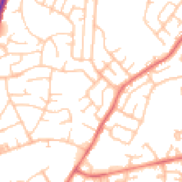
Daytime· 07:00 – 23:00
51.7dB

Night-time· 23:00 – 07:00
42.5dB